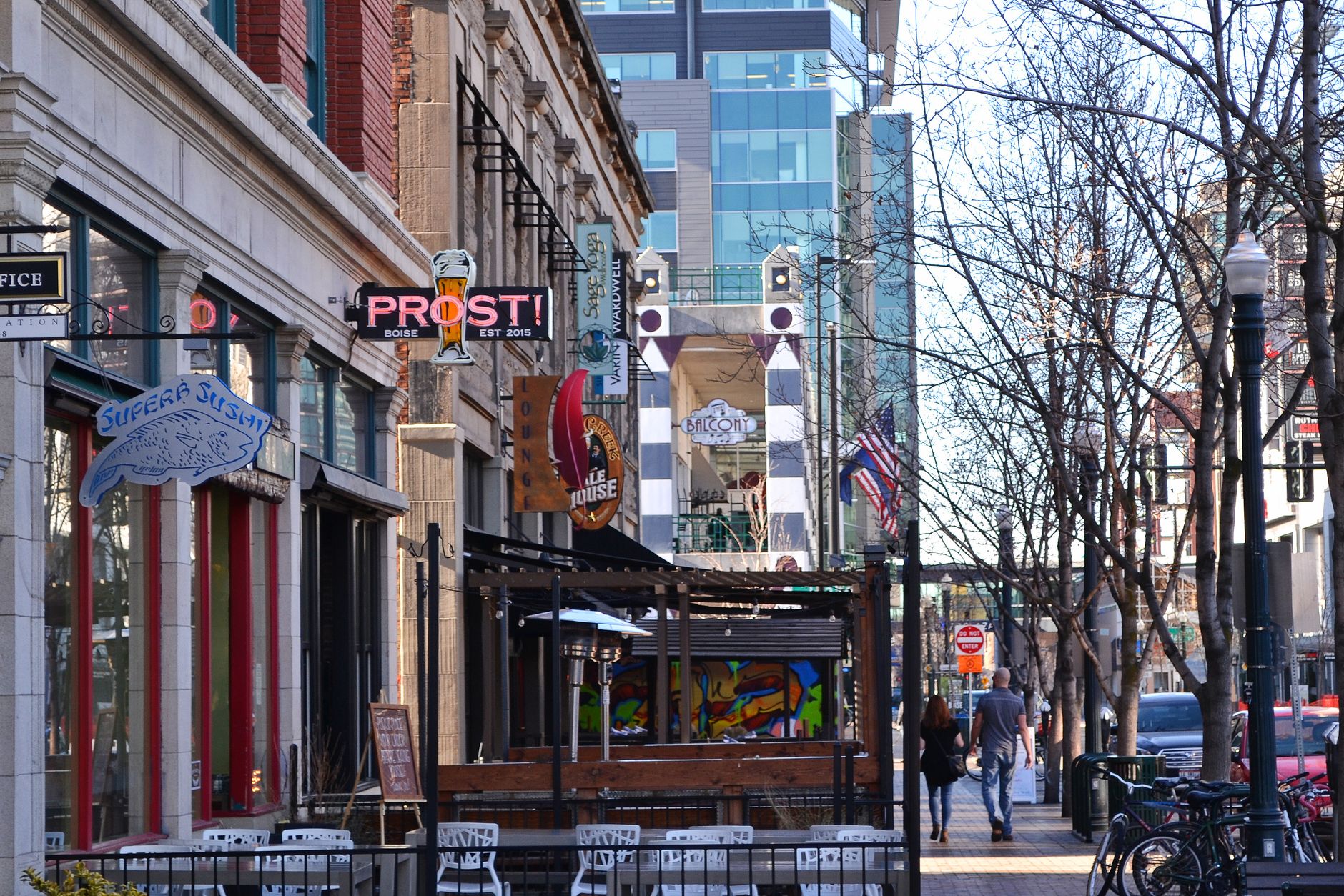
Boise’s core follows a simple grid laid out in the 1860s: numbered streets run north-south, named streets run east-west, and the whole pattern is cut through by one diagonal-feeling exception, Capitol Boulevard. Around that grid, the city rises onto river-carved terraces called benches, which is why “up on the Bench” is a real direction here, not a figure of speech.
What is the basic grid downtown, and which way do streets run?
In downtown Boise, streets that carry numbers — 2nd, 5th, 9th, 13th and so on — run north to south. Streets that carry names — Idaho, Main, Bannock, Grove, Jefferson, State, Front, Myrtle — run east to west. This is the standard American townsite pattern, platted when Boise was founded in 1863 as a supply town near Fort Boise and the Oregon Trail, and it still governs how the central city reads on a map.
The grid is oriented close to true cardinal directions, so “north” on a Boise street sign is close enough to actual north to navigate by. That consistency is part of why downtown is legible on foot: a visitor who knows they’re at 8th and Bannock knows roughly how far they are from the river and from the Capitol without needing a map. The boundaries of downtown Boise are themselves defined largely by where this grid gives way to other patterns — the river to the north, the rising Bench to the south.
Why does Capitol Boulevard cut across the pattern?
Capitol Boulevard is the one street in central Boise that behaves like a ceremonial axis rather than a grid line. It runs north-south, but it was cut through the existing plat specifically to connect two fixed points: the Idaho State Capitol at its north end and the Boise Depot on the Bench to the south. Because it was built to link those two buildings directly, it takes priority over the numbered-street sequence around it — it doesn’t sit neatly between two numbers, it interrupts them.
What Capitol Boulevard connects, and why it was built as a straight sightline between statehouse and railroad depot, is covered in detail on the page about what Capitol Boulevard connects. The street crosses the Boise River on its own bridge and climbs the scarp onto the Bench, making it one of the few streets that ties the river-level grid directly to the terrace above it.
What are Boise’s “benches,” and how do they shape the map?
A bench, in Boise’s geography, is a terrace left behind by an ancient, wider Boise River as it cut down to its current channel over thousands of years. The city sits at the bottom of that sequence, and the land steps upward to the south in a series of these flat shelves, each one separated from the next by a slope or scarp rather than a gradual rise.
The lowest of these terraces, closest to downtown, is what residents simply call the Boise Bench. Above and around it sit further subdivisions with their own identities and their own street patterns, which don’t always align with the downtown grid:
- The Central Bench, a residential belt south of the river core
- The Depot Bench, named for its position around the Boise Depot
- The Vista neighbourhood, on the Bench near the airport
On the opposite side of the city, the ground rises again into the foothills north of downtown, and that transition has its own name and its own street logic, covered on the page about Boise’s North End.
How does the address numbering actually work?
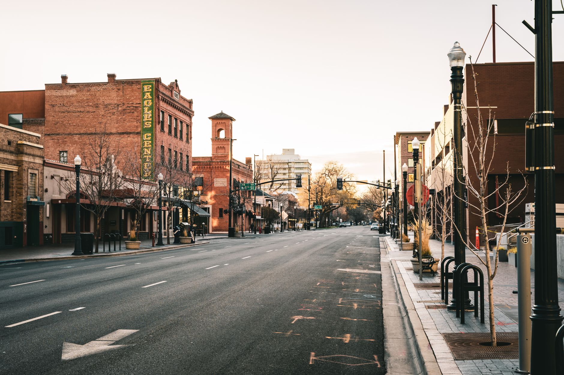
Boise’s street numbers increase as you move away from the historic center, with directional prefixes — N, S, E, W — attached to indicate which side of the core baseline an address sits on. In practice, this means a building’s address tells a reader two things at once: how far out it is, and which quadrant. This is standard for American grid cities, and it is durable in the sense that the logic doesn’t change even as new streets are added at the edges of the built-up area.
What does change, constantly and without much notice, is which individual streets are one-way, which have had lanes reallocated to bikes or buses, and where construction has temporarily rerouted traffic. None of that is fixed enough to state as permanent fact here; a driver or cyclist planning a specific route should check current conditions through the City of Boise’s own transportation pages rather than relying on any static description, including this one.
Where do the named districts sit relative to the grid?
Once a reader has the grid and the benches, most of Boise’s named neighborhoods locate themselves. Moving out from the numbered-and-named downtown core:
- North across the river sits Garden City, which is not a Boise neighborhood at all but a separate incorporated city with its own government, wedged along the river between Boise and the Bench.
- Northeast of downtown, the grid climbs toward the foothills through the East End, home to Hyde Park and the commercial strip along 13th Street.
- South and up onto the terrace lies the Bench system already described, extending into Southeast Boise.
- Further east along the river valley sit newer, master-planned areas including Bown Crossing and Harris Ranch in the Barber Valley, both built on former agricultural land rather than platted as part of the 1860s grid.
- West of downtown, the grid gives way to a newer, road-based layout organized around Fairview Avenue and Overland Road, described in the piece on how West Boise grew.
Outside the city itself, the same logic of grid-plus-terrace does not automatically extend to Boise’s neighbors. The differences between Boise, Meridian and Eagle — three distinct cities that read as one continuous suburb from a car — are laid out on the page comparing Boise, Meridian and Eagle.
How does the river fit into all of this?
The Boise River runs roughly east to west through the northern edge of the platted downtown, and it is the single geographic feature that the street grid was built to sit beside rather than across. Most of the historic commercial core sits on the south bank; Garden City and the airport-side neighborhoods sit largely on the north and west.
Running alongside the river for its length through the city is the Boise River Greenbelt, a paved multi-use path maintained by the City of Boise’s parks system, which functions as a second, informal circulation route parallel to the street grid — usable on foot or by bike without touching a numbered or named street at all. Its relationship to the geothermal and railroad history embedded along the corridor is discussed in the pieces on Warm Springs Avenue and Boise’s geothermal system and on what remains of Boise’s railroad history.
Does the layout still make sense to a newcomer today?
Yes, largely, because the two organizing ideas — a compass-oriented grid at river level, and a set of named terraces stepping upward to the south — have held even as the city has grown well past its original townsite. A visitor arriving at the Boise Depot on the Bench, for instance, can look north down Capitol Boulevard and see the Capitol dome at the far end of the sightline the street was built to create.
For a reader planning how to move through the city day to day, the practical mechanics of getting between these districts — on foot, by bike, by car or by the local bus system — are covered in the site’s broader planning guide at Boise Practical, and the fuller picture of what each neighborhood is actually like to live in sits in the hub at Living in Boise. Anyone assembling an itinerary around the city’s landmarks and museums, many of which sit directly on this grid, can start from the overview at the Boise guide or browse by category in Neighbourhoods and Landmarks & Sights.
Access Boise is an independent guide written from published, checkable sources. We have not visited the places described here and we do not publish personal recommendations or invented ‘local favourites’ — where something is singled out as notable, we say who says so. Opening times, fares, closures and prices change at short notice, so treat everything here as a starting point and confirm with the museum, operator or venue directly before building a day around it. We give no advice on visas, insurance, health or safety; use your own government’s official guidance for those.