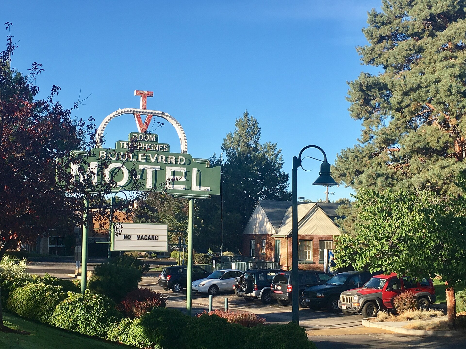
Capitol Boulevard is downtown Boise’s principal north-south street. It runs in a nearly straight line from the Idaho State Capitol at its northern end, south across the Boise River, to the edge of the Boise State University campus. It is the closest thing the city has to a ceremonial spine, connecting the seat of Idaho’s state government to the river, the university, and the historic railway depot on the bench above.
Where does Capitol Boulevard begin and end?
The boulevard starts at the Idaho State Capitol and runs south through the core of downtown, crossing Bannock, Idaho, Main and Grove streets before reaching the Boise River. South of the river it continues onto the Boise State University campus, terminating near the university’s athletic and academic buildings. The full run is short by the standards of a state capital’s main street — a matter of blocks rather than miles — but it carries an outsized share of downtown’s foot traffic and civic events.
Why does the street point straight at the Capitol dome?
The alignment is not accidental. When the Idaho State Capitol was completed in the early 20th century and the Union Pacific’s Boise Depot went up on the bench above the river a few years later, the two buildings were sited so that a straight sightline ran between them along what became Capitol Boulevard. Local histories, including material published by the city of Boise, describe the depot’s placement as a deliberate piece of civic design: someone standing on the depot’s front steps looks directly down the boulevard to the Capitol dome, and the reverse is true from the Capitol steps. The Boise Depot’s own architecture and history are covered separately, but the sightline itself is really a property of the street, not the building.
This kind of engineered vista — a public building deliberately framed at the end of a straight avenue — belongs to the same City Beautiful planning tradition that shaped many American state capitals in this period. Boise’s version is modest in scale but unusually intact: the view has not been blocked by later high-rise construction, so the relationship between dome and depot is still legible on the ground today.
What landmarks sit along Capitol Boulevard?
Moving from north to south, the boulevard threads together several of downtown Boise’s defining sites rather than running past them at a distance.
- The Idaho State Capitol anchors the north end, with public tours and self-guided access described on its own visitor pages.
- Just off the boulevard, the Grove Plaza functions as downtown’s civic square; its role in markets, concerts and public gatherings is covered in a separate piece on what the Grove is used for.
- Government offices, banks and Boise’s older commercial buildings line the middle stretch, reflecting the boulevard’s long history as an address of institutional weight.
- The Boise River crossing marks a shift in character, from dense downtown blocks to the more open, campus-scaled south side.
- South of the river, Boise State University’s campus fronts the boulevard directly, including venues such as the Morrison Center for the Performing Arts and, a short distance further, Albertsons Stadium with its blue playing surface.
The historic depot itself sits up on the bench, not directly on Capitol Boulevard but visually tied to it by the sightline described above; its grounds and the adjoining Platt Gardens are one of the city’s more established public spaces.

How does the boulevard cross the Boise River?
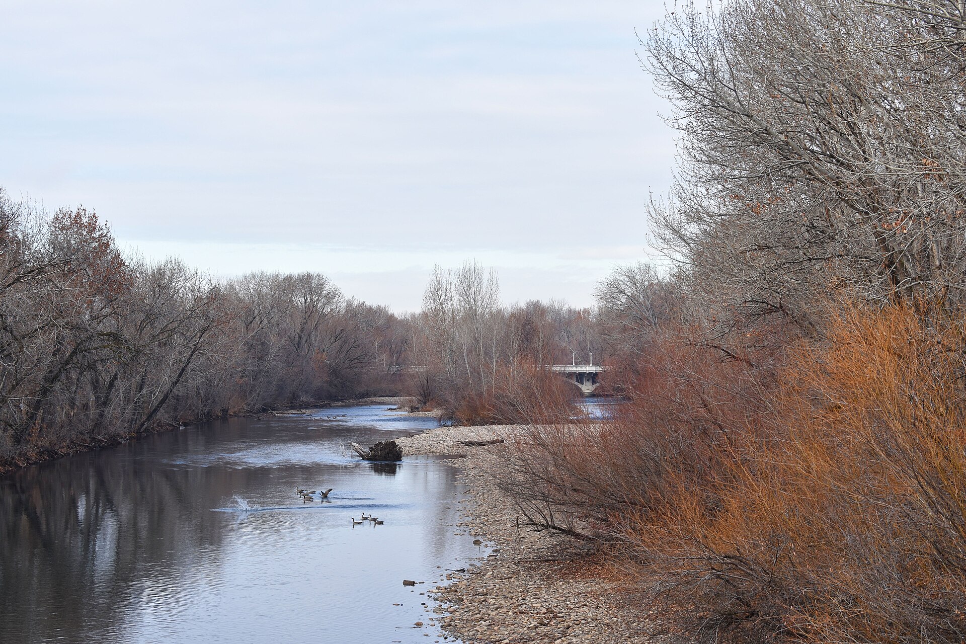
Capitol Boulevard crosses the Boise River on a dedicated bridge that carries vehicle, cyclist and pedestrian traffic between downtown and the university district. The crossing sits within the Boise River Greenbelt system, the city’s continuous pathway network along the river, so pedestrians on the boulevard bridge intersect directly with a walking and cycling route that runs for miles in both directions. This makes the bridge more than a traffic connector: it is one of the main points where downtown foot traffic meets the river path.
What is Capitol Boulevard used for today?
Beyond its role as a through street, the boulevard and the blocks around it function as a public gathering corridor. The Grove Plaza just off the boulevard hosts recurring civic events — markets, seasonal gatherings and outdoor concerts — on a pattern that repeats through the year rather than a fixed calendar; the Grove Plaza article sets out how that programming works. Parades and civic processions in downtown Boise have historically used Capitol Boulevard’s straight run and its terminus at the Capitol steps, since the street was effectively designed to end in a public building rather than another block of shopfronts.
For residents, the boulevard is also simply the most direct walking and cycling route between the university, downtown offices, and the state government complex — a working street as much as a monumental one. Idaho commuters using it daily will find it functions like any other arterial: it carries city buses, has metered and garage parking downtown, and its character changes noticeably between the dense commercial blocks north of the river and the more open, tree-lined stretch through the university campus.
What else is near Capitol Boulevard worth knowing about?
Several of Boise’s museums and landmark buildings sit within a short walk of the boulevard, since the street runs through the densest part of downtown. Visitors planning a walking route around the Capitol end of the boulevard may want to consult the wider Landmarks & Sights archive for buildings and public spaces nearby, or the Museums & Galleries archive for the collections within easy reach of downtown, several of which cluster within a few blocks of the boulevard’s northern half.
Because opening hours, event schedules and construction on downtown streets change without much notice, anyone planning a specific visit around Capitol Boulevard — for a Capitol tour, a Grove Plaza event, or a Boise State event at the south end — should confirm current details on the relevant institution’s own site rather than relying on a fixed schedule here.
How should a visitor think about Capitol Boulevard versus other downtown streets?
Capitol Boulevard is not downtown Boise’s main shopping street — that role belongs more to 8th Street and the blocks around the Grove. Its significance is civic and geographic rather than commercial: it is the axis the city was planned around at its northern end, and the most direct route between government, downtown, the river, and the university at its southern end. Understanding the boulevard this way explains why it appears on so many downtown maps as a straight, prominent line, even though it is lined with fewer restaurants and shops than the streets that cross it.
Access Boise is an independent guide written from published, checkable sources. We have not visited the places described here and we do not publish personal recommendations or invented ‘local favourites’ — where something is singled out as notable, we say who says so. Opening times, fares, closures and prices change at short notice, so treat everything here as a starting point and confirm with the museum, operator or venue directly before building a day around it. We give no advice on visas, insurance, health or safety; use your own government’s official guidance for those.
Featured image: Photo by Jflyons, source, CC BY-SA 4.0
