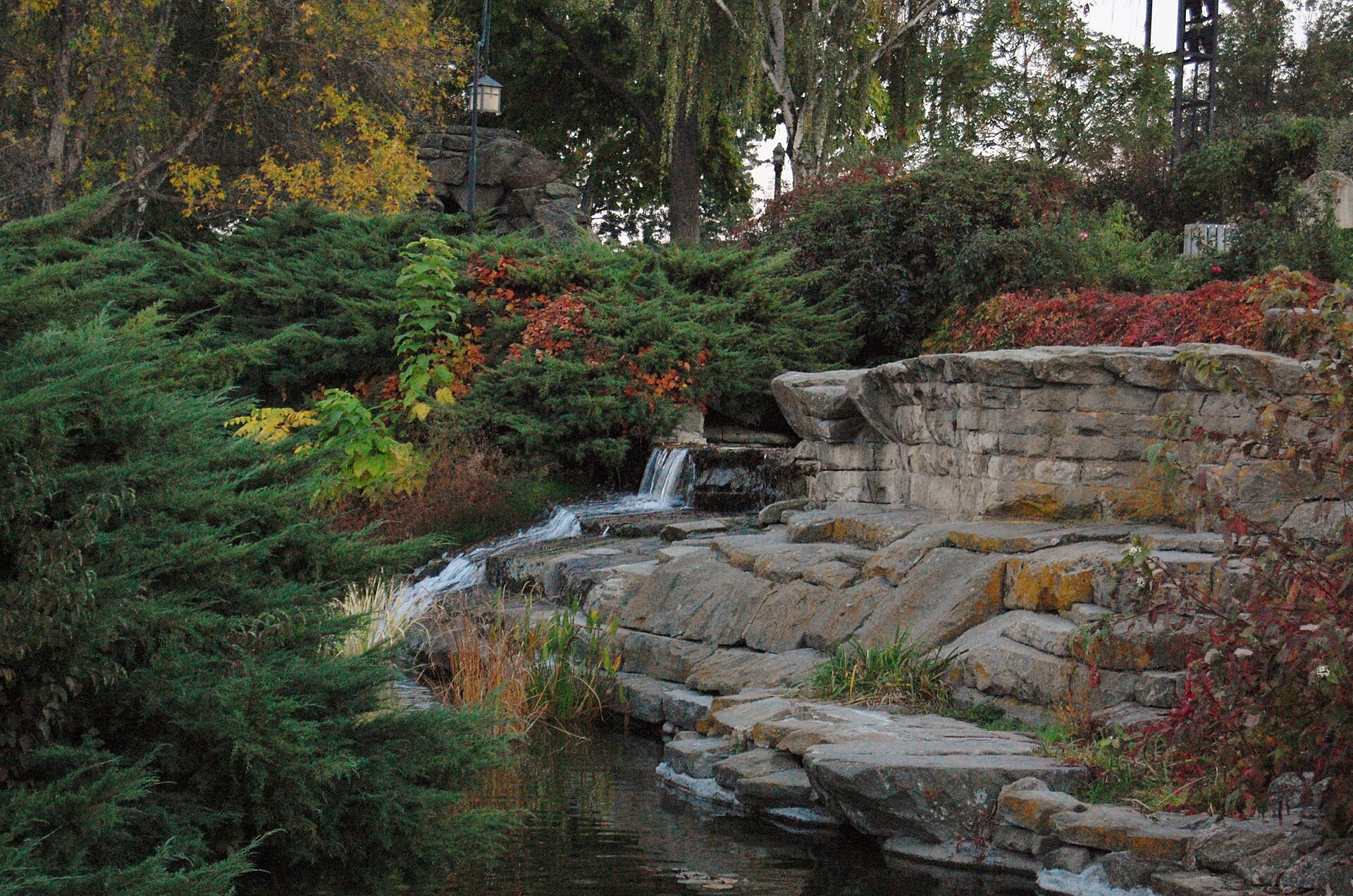
The Central Bench is a mostly residential district on the elevated terrace of land that rises south of the Boise River and downtown Boise. It is one of the city’s officially recognized neighborhood associations, sitting roughly in the middle of a wider landform — the Bench — that stretches across the south side of the city.
Where does the Central Bench sit in the city?
The Central Bench occupies the northern-middle portion of the Boise Bench, the plateau of higher ground that separates the Boise River valley from the flatter land farther south and west. It lies south of the river bluff that marks the edge of downtown and the East End, and north of the Overland Road corridor, which functions as a major east-west commercial spine across this part of the city.
It is one of several neighborhood associations the city recognizes across the Bench, alongside others that cover the areas immediately to its east, west and south. Readers wanting the full picture of the Bench as a landform and a name — why the terrace exists and why “Bench” is used at all — will find that covered at length in What Is the Boise Bench, and Why Is It Called That?. This article focuses specifically on the Central Bench as a defined neighborhood within that larger terrace.
Why is this part of Boise called “the Bench” at all?
The term describes a genuine geological feature. The Boise River, over a very long span of time, cut down through older sediment and left a series of flat-topped terraces — benches — above its current channel. Downtown Boise sits in the river’s floodplain; the Bench sits above it, reached by a noticeable rise in elevation along streets that climb from the valley floor.
The Central Bench, along with its neighboring districts, occupies one of these terraces. The name is descriptive rather than promotional: it tells a resident or a mapmaker exactly what kind of ground they are standing on.
What does the City of Boise recognize as the Central Bench?
Boise organizes much of its residential area into neighborhood associations, a program run through the city’s community engagement structure that gives each district a formal boundary, a name and a channel for input on local planning and development. Central Bench is one of these recognized associations, and its boundary sits between the bluff overlooking the river to the north and the Overland Road area to the south, flanked by other bench-top neighborhood associations to the east and west.
Exact boundary lines are drawn on maps the city publishes and updates as neighborhood association boundaries are periodically reviewed. Anyone who needs the precise street-by-street edge of the district — for planning correspondence, a zoning question or simple curiosity — should check the current map on the city’s own site rather than rely on a general description, since these boundaries are administrative and can be adjusted.
How did the neighborhood take shape?
Like much of the Bench, the Central Bench developed later than downtown and the older river-adjacent neighborhoods. Downtown Boise, the North End and the East End grew up close to the original townsite and the river; the Bench above them filled in afterward, as the city expanded outward through the twentieth century and needed land for housing that the narrower valley floor couldn’t supply.
That later development shows up in the built environment. Much of the Central Bench consists of single-family housing from the mid-twentieth century, organized along a grid that is generally more car-oriented than the older streetcar-era neighborhoods closer to the river. Commercial development followed the major arterials rather than clustering around a single historic core, which is why the district’s commercial life runs along corridors like Overland Road and Orchard Street rather than around one identifiable “downtown” of its own.
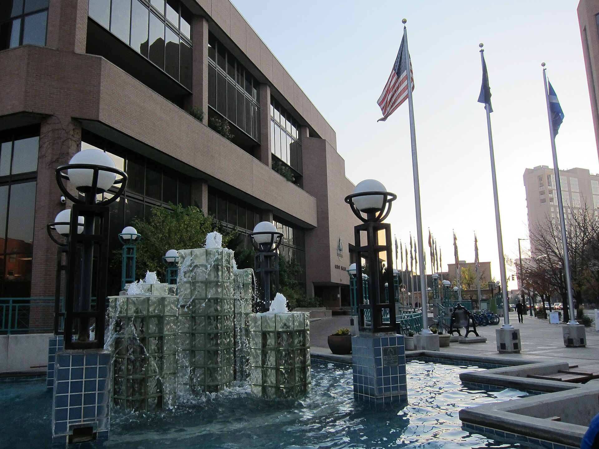
.jpg)
What is on the Central Bench today?
The district functions primarily as housing stock for people who work elsewhere in the city — downtown, at Boise State University near the base of the bluff, or in the commercial and industrial areas farther south and west. Its own commercial spine is practical rather than destination-driven: grocery stores, service businesses and strip commercial development along Overland Road and the streets that cross it, rather than a walkable historic main street of the kind found in the North End’s Hyde Park or the East End.
Because it sits on the Bench rather than in the river valley, the Central Bench does not border the Boise River Greenbelt directly, though residents can reach the river and downtown by descending the bluff on connecting streets. Readers interested in how downtown itself is bounded, and how neighborhoods like this one relate to it, can compare against What Is Downtown Boise, and Where Does It Begin and End?.
How do residents get around?
Valley Regional Transit, the public transit operator for the Boise metropolitan area, runs bus routes that connect Bench neighborhoods to downtown and to other parts of the city; route numbers and schedules change periodically, so anyone relying on transit should check the operator’s own current service maps rather than a fixed description here. Most trips off the Bench, however, are made by car, using the arterials — Orchard Street, Cole Road, Overland Road, Vista Avenue and others — that run north-south and east-west across the terrace and connect down to the valley floor.
For a resident deciding whether the Central Bench suits daily life, the practical questions are less about scenery and more about commute pattern: proximity to Boise State and downtown via the bluff-crossing arterials, and access to Overland Road’s commercial strip for routine errands. General orientation to how the city’s neighborhoods function day to day is covered in the Living in Boise hub, and route planning across the metro area more broadly is covered in Boise Practical.
How does the Central Bench relate to the rest of the Bench?
The Bench as a whole is not one neighborhood but a cluster of them, each with its own recognized association and boundary, spread across the same elevated terrace. The Central Bench sits toward the northern-middle part of that terrace; other associations cover ground to its east toward the river bend, to its west toward the newer growth corridors, and south toward Boise Airport and the area around Gowen Field.
This matters for anyone trying to locate an address or a business described loosely as being “on the Bench.” The term on its own only identifies the landform — it does not specify which of the several recognized neighborhoods a given block falls into. The Central Bench is one piece of that larger terrace, distinguished from its neighbors mainly by its position relative to downtown and by the arterials that define its edges.
For comparison with how other parts of the city define and describe their own districts, the Neighbourhoods archive covers areas including the Vista neighborhood immediately toward downtown — see What Is the Vista Neighbourhood in Boise, Idaho? — and the growth corridors on the city’s western edge, discussed in What Is West Boise, Idaho, and How Did It Grow?.
What should visitors know about the Central Bench?
There is little reason for a visitor to plan a trip specifically around the Central Bench. It has no major museum, landmark or listed historic site of its own, and its interest for anyone outside the city is mainly geographic: it is a concrete example of how Boise’s terraced topography shaped where and how the city grew outward from the river.
Visitors focused on landmarks, museums and historic districts will find far more concentrated material in downtown Boise and the neighborhoods immediately around it, covered in the Boise Guide hub and its Landmarks & Sights and Museums & Galleries archives. The Central Bench is better understood as part of how the city works for the people who live in it than as a stop on a visitor’s itinerary.
Access Boise is an independent guide written from published, checkable sources. We have not visited the places described here and we do not publish personal recommendations or invented ‘local favourites’ — where something is singled out as notable, we say who says so. Opening times, fares, closures and prices change at short notice, so treat everything here as a starting point and confirm with the museum, operator or venue directly before building a day around it. We give no advice on visas, insurance, health or safety; use your own government’s official guidance for those.
Featured image: Photo by Roman Eugeniusz, source, CC BY-SA 3.0
.jpg)