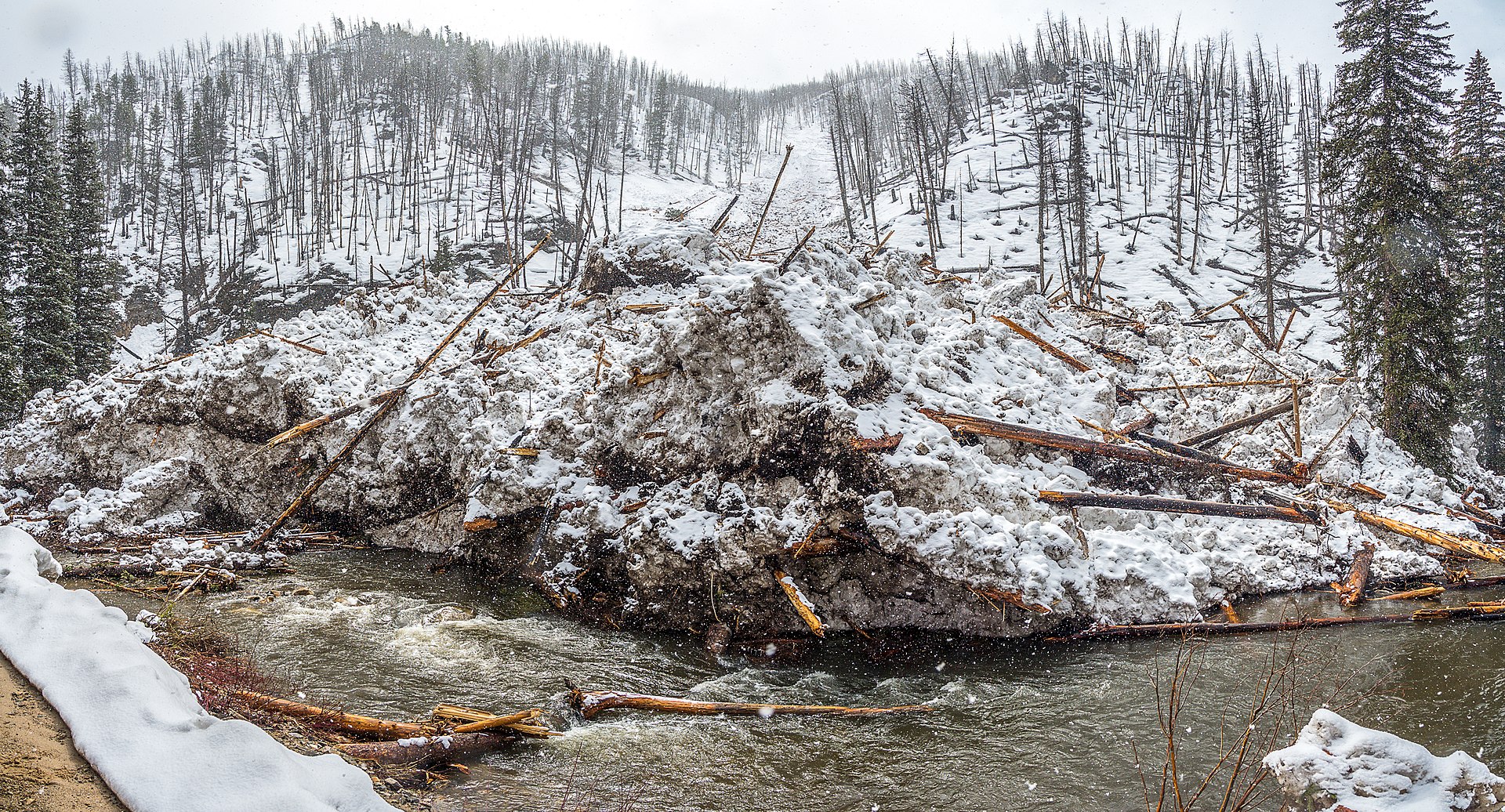
The Payette River is a tributary of the Snake River that drains a large chunk of west-central Idaho, running roughly 130 miles from headwaters near McCall down to its confluence with the Snake west of Boise. It is split into three forks with very different characters, and it is the river most Boise-area rafters and kayakers mean when they say they’re “going to run whitewater,” as distinct from the calmer Boise River in town.
What is the Payette River, exactly?
The Payette is formed by three separate forks — North, Middle, and South — that originate in the mountains north and east of Boise and converge near the small community of Banks, Idaho. From that point, the combined Payette River flows west through Payette County to join the Snake River near the town of Payette. The river and its watershed sit largely within the Boise National Forest, according to the U.S. Forest Service, which manages much of the surrounding public land.
The river takes its name from François Payette, a fur trader with the Hudson’s Bay Company who worked the region in the early 1800s. That history places it firmly in the fur-trade era of Idaho’s settlement, alongside other Snake River tributaries named for trappers and traders of the same period.
Where does the Payette River run in relation to Boise?
The nearest whitewater stretches sit roughly an hour to 90 minutes north of Boise by car, reached via Idaho Highway 55 through Horseshoe Bend toward the town of Banks. That makes the Payette a common day-trip destination rather than a river anyone floats from within city limits — a different proposition from the Boise River itself, which runs through downtown and is covered separately in this site’s guide to floating the Boise River. The drive up Highway 55 also passes close to Lucky Peak, the reservoir that regulates flow on the Boise River, before climbing toward the Payette drainage.
Highway 55 continues north from Banks to Cascade and on to McCall, so a Payette River trip is easy to combine with a stop at McCall, which sits at the river’s headwaters on Payette Lake. Anyone planning the drive in winter should check road conditions before leaving, since the highway climbs and can see snow and ice well after Boise’s valley floor has cleared.
.jpg)
What are the three forks, and how do they differ?
Each fork of the Payette has a distinct reputation among boaters, and the differences matter for anyone deciding where to go.
- North Fork: The stretch through Class V terrain near Banks, including the run often called the Cabarton and the more technical sections downstream, is rated among the more demanding whitewater in the region by American Whitewater, the national nonprofit that maintains river difficulty ratings and access information for U.S. rivers. This is expert and advanced-boater water, not a beginner run.
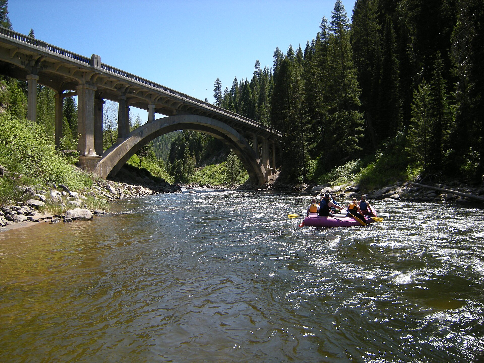
- South Fork: The South Fork Payette, particularly the section near Banks and through Garden Valley, carries a mix of Class III and IV water and is the stretch most commonly run by commercial rafting trips, according to American Whitewater’s river descriptions.
- Main Payette: Below the confluence at Banks, the combined river includes gentler Class II and III water that is more accessible to less experienced paddlers and to commercial float trips.
The practical effect is that “running the Payette” can mean very different things depending on which fork and which stretch is meant — from a technical, closed-boater run through a steep canyon to a family-friendly commercial float. Anyone unfamiliar with the river should confirm the specific section and its current rating before choosing a trip.
Who actually runs these stretches?
The South Fork and main-stem sections near Banks support a working commercial rafting industry, with outfitters licensed to run trips on Forest Service land within the Boise National Forest. The Forest Service’s own permitting system governs which companies may operate commercially on this stretch of river, and the agency’s site is the place to confirm which outfitters currently hold permits.
The North Fork’s harder water is run mainly by private kayakers and rafters with whitewater experience, and it draws paddlers from well beyond Idaho during peak flows. American Whitewater’s river pages and gauge data are the standard reference paddlers use to check current conditions before putting in.
This is genuinely different territory from the managed float on the Boise River covered in the guide to floating the Boise River, where the current is gentle enough for tubes and no whitewater skill is required. The Payette’s harder sections are not a casual add-on to a Boise weekend; they require either a licensed outfitter or real paddling experience.
What is Kelly’s Whitewater Park?
Kelly’s Whitewater Park is a constructed whitewater park on the North Fork Payette in Cascade, Idaho, built and operated by the city of Cascade’s parks and recreation department. It uses engineered features in the river channel to create a series of graded waves and drops for kayakers, and it also includes a swimming pond and picnic areas for non-boaters. It functions as a public park with a managed river feature rather than a natural run, and it is a useful comparison point for readers who have already read about Boise’s own constructed Whitewater Park on the Boise River, since both use built features to create rideable waves rather than relying purely on the river’s natural gradient.
When is the whitewater season on the Payette?
Flows on the Payette follow Idaho’s snowpack, peaking with spring runoff, typically from late April through June, and dropping through summer as the mountain snowpack depletes. Higher water in spring means bigger, faster rapids and generally more demanding conditions, particularly on the North Fork; lower summer flows expose more rock and can change which lines are runnable. American Whitewater and the Forest Service both publish seasonal guidance, and commercial outfitters generally adjust their trip offerings to match the water level through the season. Anyone planning a specific date should check current flow data rather than assume conditions from a general season description, since year-to-year snowpack varies significantly in the Boise National Forest.
Is the Payette connected to Idaho Fish and Game’s work?
Idaho Fish and Game manages fisheries within the Payette drainage, and the river supports recreational fishing alongside its whitewater use, particularly in its calmer stretches and tributaries. The agency’s own site is the reference for current fishing regulations on the river, which are separate from the whitewater access rules covered by the Forest Service and American Whitewater.
How does a Payette River trip fit into a longer Boise visit?
Because the drive up Highway 55 takes the better part of a day round trip once travel time and a river run are factored in, a Payette trip generally works best as a dedicated day out from Boise rather than a stop squeezed between city sights. Readers assembling a longer itinerary can find other single-day options in the site’s day trips archive, and readers weighing whether they need a car at all for this kind of excursion should check the practical transport pages in the Boise practical hub, since a Payette River trip is not realistically done without a vehicle or a commercial shuttle. For context on the parks and river features closer to downtown, the Parks & Foothills archive covers the Boise River corridor itself, including the constructed whitewater feature and the city’s float route, both of which are a much shorter and gentler proposition than anything upstream on the Payette.
Access Boise is an independent guide written from published, checkable sources. We have not visited the places described here and we do not publish personal recommendations or invented ‘local favourites’ — where something is singled out as notable, we say who says so. Opening times, fares, closures and prices change at short notice, so treat everything here as a starting point and confirm with the museum, operator or venue directly before building a day around it. We give no advice on visas, insurance, health or safety; use your own government’s official guidance for those.