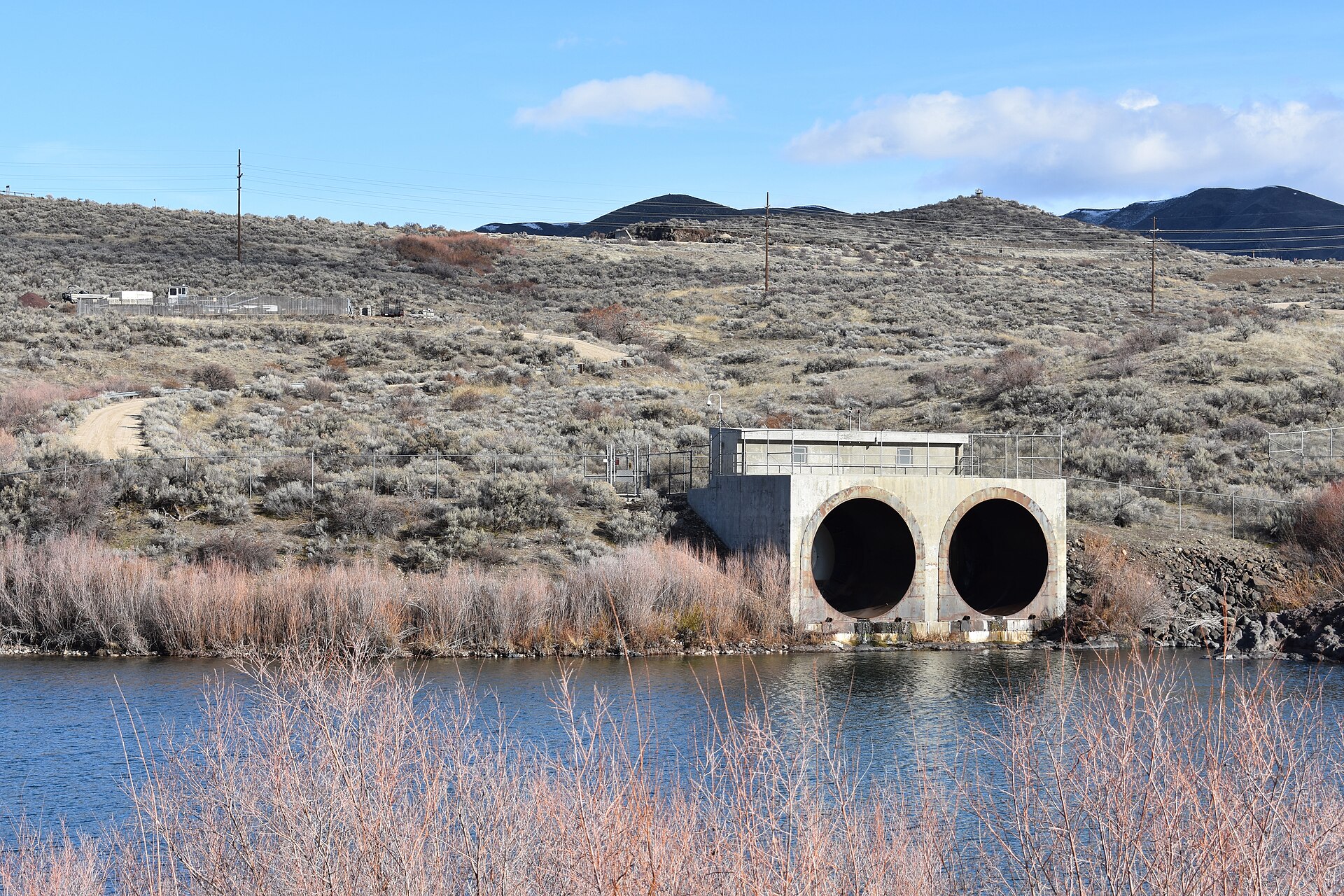
What Is Lucky Peak?
Lucky Peak is a reservoir on the Boise River about 10 miles southeast of downtown Boise, held back by Lucky Peak Dam. The dam is operated by the U.S. Army Corps of Engineers; the land and water around it are managed as Lucky Peak State Park by the Idaho Department of Parks and Recreation. Together they form the closest large body of open water to the city.
Where Is Lucky Peak, and How Do You Get There?
Lucky Peak sits along Idaho State Highway 21, the road that leaves Boise as Warm Springs Avenue and eventually climbs into the Boise National Forest toward Idaho City. There is no public transit route to the reservoir, so reaching it means driving or cycling the highway shoulder.
The drive from downtown Boise runs past Barber Park, the put-in point for the summer river float, and past Diversion Dam before the road climbs alongside the reservoir itself. Readers planning the same corridor as a longer outing can see how it connects to the old mining town further up the highway in what is left of Idaho City after the gold rush.
What Does the Dam Actually Do?
Lucky Peak Dam is a flood-control and water-storage structure completed in the 1950s. The Army Corps of Engineers’ Walla Walla District, which manages it, describes it as the last of three dams on this stretch of the Boise River system — downstream of Anderson Ranch Dam and Arrowrock Dam — built to manage spring runoff and hold irrigation water for the Treasure Valley.
The releases from Lucky Peak also set the flow of the Boise River through the city itself. That has a direct, practical consequence: the water level and speed of the river at Barber Park, where the summer float begins, is a function of how much the Corps is releasing from Lucky Peak that week, not a natural, unmanaged flow. Anyone trying to work out how the Boise River float actually works is, in effect, asking a question about this dam’s operating schedule.
What Are the Units of Lucky Peak State Park?
Idaho Department of Parks and Recreation manages Lucky Peak State Park as several separate units strung along the reservoir and the river below it, rather than one single site with one entrance. The units most commonly referenced are:
- Discovery Unit — near the dam itself, with river and dam access and interpretive signage about the flood-control system.
- Sandy Point — a swimming beach below the dam, on the cold, fast water released directly from the reservoir.
- Spring Shores — a marina area higher on the reservoir, with boat launching and dock access to open water.
Each unit has its own access point off Highway 21, and its own separate fee and hours structure; the state park’s own site is the source to check before a visit, since day-use rates and seasonal closures change.

What Can You Do on the Water?
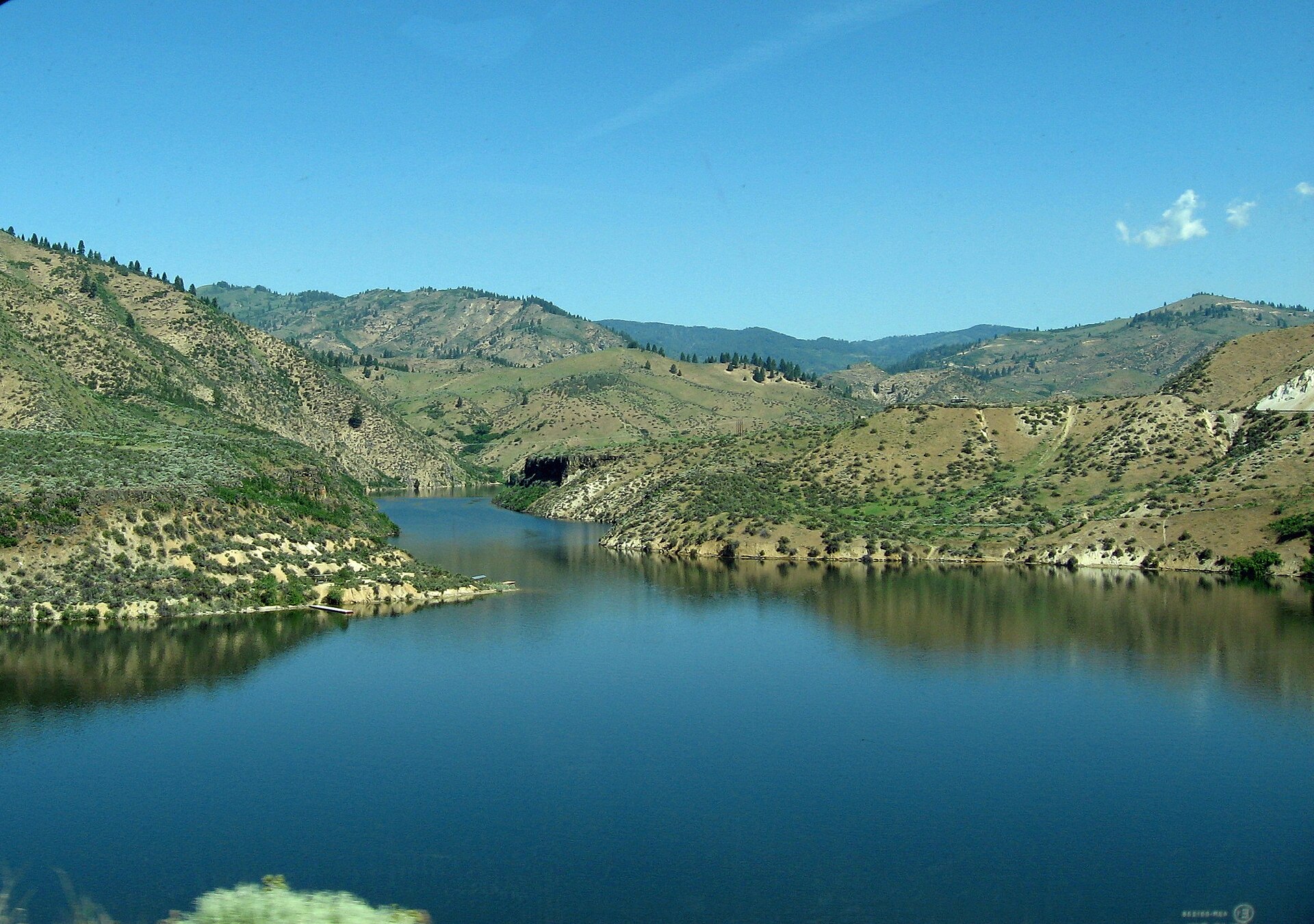
The reservoir itself is open water rather than a river channel, which makes it suited to activity a float trip downstream is not: motorboating, water skiing, wakeboarding, and paddling across open stretches rather than down a current. Spring Shores functions as the main marina and launch point for boats heading out onto the lake.
Idaho Department of Parks and Recreation and the Corps of Engineers both note that reservoir levels are managed for flood control and irrigation storage, not for recreation, which means the shoreline and usable surface area can shift noticeably between spring, when the reservoir is drawn down ahead of runoff, and midsummer, when it is fuller. A boat ramp that is usable in July may sit well above the water line by October.
What Is Sandy Point Like as a Swimming Area?
Sandy Point is the state park’s designated swimming unit, sitting just below the dam where the released water runs cold even in summer heat. Idaho Department of Parks and Recreation lists it as a day-use beach with lifeguard-supervised swimming during the summer season, along with picnic areas — the kind of amenity that draws Boise families in the same way as the city’s own river parks, without the drive up to the open reservoir.
Because the water at Sandy Point comes straight from the bottom of the reservoir through the dam, it stays noticeably colder than water that has had time to warm on its way through the city, which is a detail worth knowing before wading in expecting a typical Boise-summer river temperature.
What About Fishing?
Idaho Fish and Game manages the fishery at Lucky Peak and stocks the reservoir, most notably with kokanee — a landlocked sockeye salmon — alongside rainbow trout and other species. The agency’s own fishing planner is the source for current stocking data, size and bag limits, and license requirements, all of which are set at the state level and enforced on the water.
Kokanee fishing at Lucky Peak is well enough established that it draws its own dedicated group of anglers from the Boise area distinct from those fishing the river downstream for the trout covered separately in coverage of where Idaho trout actually comes from.
When Is Lucky Peak Open, and What Changes by Season?
Lucky Peak functions on a strongly seasonal calendar tied to both the reservoir’s flood-control drawdown and Boise’s own weather pattern. Marina services, lifeguarded swimming at Sandy Point, and full boat-launch access are effectively summer operations, running from roughly late spring through early fall depending on water levels and staffing — exact dates are set year to year by Idaho Department of Parks and Recreation and should be checked on the park’s own site rather than assumed.
Outside that window, the dam itself and its immediate surroundings remain accessible for walking and viewing, but boating infrastructure, staffed beaches, and marina services scale back or close. Reservoir levels are also typically lower in late winter and early spring, ahead of the runoff the dam is built to control, which changes how much shoreline and open water is actually usable at any given visit.
Is Lucky Peak Worth a Trip From Boise?
For a resident with a boat, a fishing rod, or a hot afternoon and a car, Lucky Peak is the nearest large body of open water to the city, and functions as Boise’s default lake day. For a visitor without a vehicle, it is harder to justify: there is no transit link, and the appeal is specifically the reservoir and dam rather than a landmark or museum with fixed hours to plan around.
It sits naturally alongside other outdoor half-days near the city, and pairs well with a broader look at how Boise residents actually spend a hot afternoon, covered in the wider day trips and parks and foothills coverage on this site. Anyone building a longer outdoor itinerary around the river system should also see how the Greenbelt, which the dam’s releases ultimately feed, runs end to end in the piece on the Boise River Greenbelt. General planning questions — driving times, seasonal road conditions, what to bring — are addressed in the site’s practical guide to getting around and planning in Boise.
Access Boise is an independent guide written from published, checkable sources. We have not visited the places described here and we do not publish personal recommendations or invented ‘local favourites’ — where something is singled out as notable, we say who says so. Opening times, fares, closures and prices change at short notice, so treat everything here as a starting point and confirm with the museum, operator or venue directly before building a day around it. We give no advice on visas, insurance, health or safety; use your own government’s official guidance for those.
Featured image: Photo by Tamanoeconomico, source, CC BY-SA 4.0
.jpg)