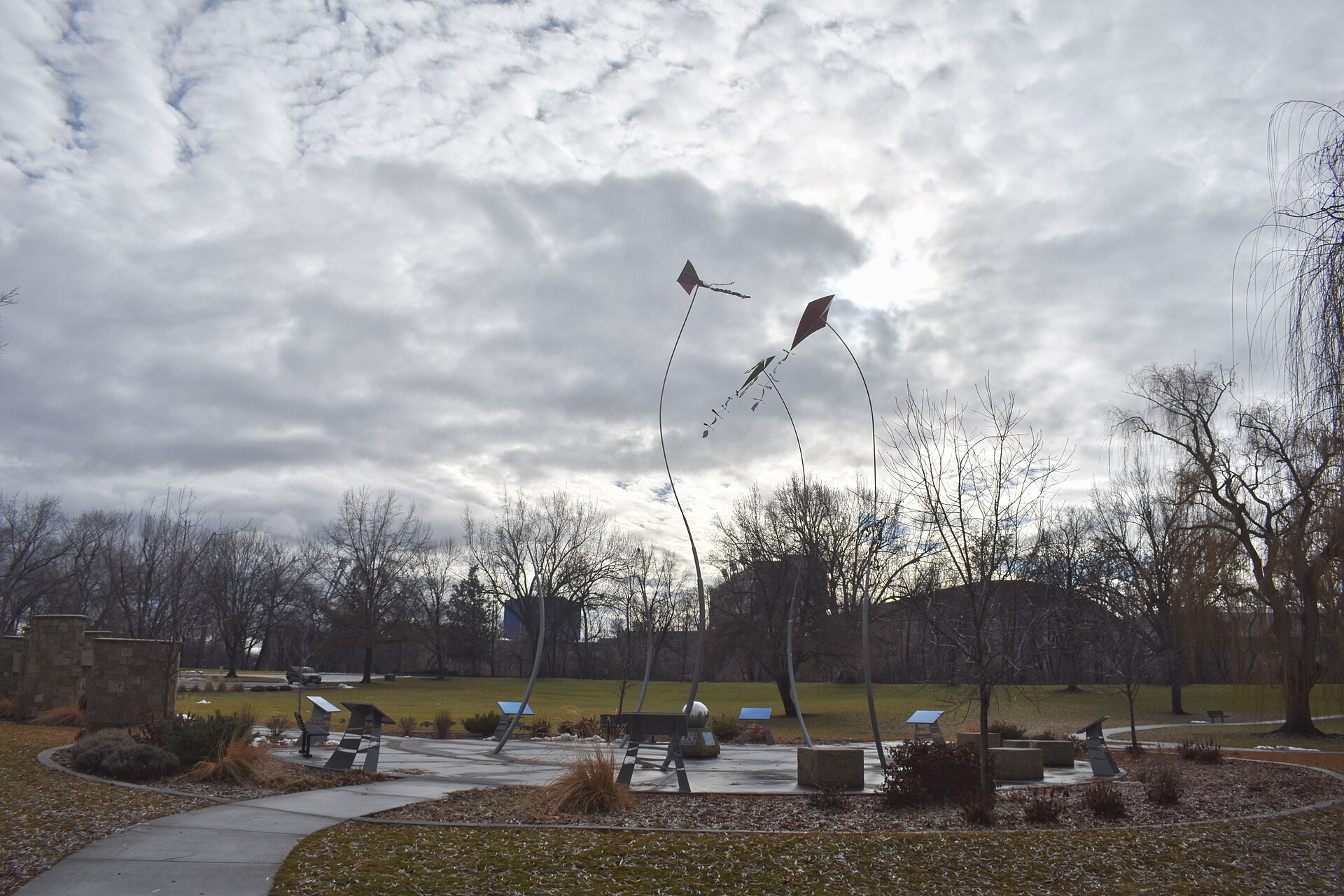
The Boise River Greenbelt is a paved, largely car-free pathway that follows the Boise River through the city, connecting parks, neighborhoods, and Boise State University along a route the city’s own Parks and Recreation department describes as roughly 25 miles. It runs from the Eagle area in the west to Lucky Peak, east of downtown, and is open to walkers, runners, and cyclists year-round, at no cost.
How long is the Greenbelt, and where does it actually start and end?
The commonly cited figure, from Boise’s Parks and Recreation department, is about 25 miles of continuous paved pathway along both banks of the Boise River in places, with connecting spurs that extend the total further. The western end threads through Eagle Island and toward the city of Eagle; the eastern end runs past Barber Park and into the Lucky Peak State Park area near the dam. Because sections are periodically extended or rerouted around construction, the city’s own greenbelt page is the source to check for the current total mileage rather than any fixed number repeated elsewhere.
What parks and landmarks does the Greenbelt connect?
The path is less a single destination than a spine that threads together much of Boise’s public open space. Along its length it passes or borders:
- Ann Morrison Park, one of the city’s largest riverside parks
- Kathryn Albertson Park, a landscaped wildlife area near downtown
- Julia Davis Park, home to several of Boise’s museums and Zoo Boise
- Municipal Park and Veterans Memorial Park
- Barber Park, the eastern staging point for river floating
- the Boise State University campus, which sits directly along the river
A walking route through the downtown core, described in detail on a walking route through downtown Boise, landmark by landmark, crosses the Greenbelt at several points, since the pathway and the street grid overlap in the city center.
Who manages the Greenbelt, and is it free to use?
The pathway is maintained by the City of Boise’s Parks and Recreation department, which treats it as public infrastructure rather than a ticketed attraction. There is no fee to walk, run, or cycle any part of it, and no gate or entry point. Idaho Fish and Game also has a stake in the corridor: the agency manages fishing access along stretches of the Boise River that the Greenbelt runs beside, and stocks sections of the river within city limits, which is why anglers are a regular sight on the banks alongside cyclists and dog walkers.
Can you cycle, run, or walk the whole thing?
Most of the route is a shared, paved multi-use path wide enough for pedestrians and cyclists to pass comfortably, though a few older or narrower sections require more caution, particularly where the path pinches close to the riverbank or crosses a road at grade. The city’s general guidance, reflected in its signage along the route, is that cyclists yield to pedestrians. For a broader view of cycling conditions across the city, including how the Greenbelt fits into commuting patterns, see how good cycling actually is in Boise and the dedicated guide to commuting on the Boise Greenbelt.
.jpg)
Does the Greenbelt connect to Garden City or Eagle?
Yes. The pathway runs through Garden City, which is its own incorporated municipality entirely surrounded by Boise rather than a neighborhood of it — a distinction explained in what makes Garden City, Idaho, a separate city. West of Garden City, the route continues toward Eagle Island and the city of Eagle, though the character of the path shifts from urban park corridor to a more rural, riverside trail as it moves away from the downtown core.
What is floating the river, and how does it relate to the Greenbelt?
A well-known summer activity in Boise is floating a stretch of the river from Barber Park downstream to Ann Morrison Park, an activity Ada County Parks and Waterways operates permits, tube rentals, and a shuttle service for. The float route runs roughly parallel to the Greenbelt for much of its length, and the pathway is how most people walk or bike back upstream to retrieve a car or continue their day, since the float itself is one-directional. Ada County’s own site is the source to check for current permit rules, river conditions, and shuttle operation, since flow rates and closures vary by year and by releases from Lucky Peak Dam upstream.
What changes on the Greenbelt by season?
Use of the pathway shifts noticeably across the year. In summer, the cottonwood canopy along much of the route provides shade that measurably changes the experience of the corridor compared with open streets, a point relevant to anyone planning a Boise day at 100°F. Spring runoff can raise water levels and occasionally affects sections closest to the bank. Winter brings icy patches in shaded stretches, and shorter daylight hours change when the path is busy, something covered in general terms in what a Boise winter is actually like. None of this closes the Greenbelt outright in a typical year, but it does change how comfortable a given stretch is on a given day.
How does the Greenbelt fit into daily life in Boise, not just visits?
For residents, the Greenbelt functions as much as transportation infrastructure as recreation. It is used for commuting between the Bench, downtown, and Boise State, and connects — separately, at trailheads rather than directly — to the Ridge to Rivers foothills trail network above the city. The two systems are often mentioned together but are administratively distinct: the Greenbelt is a river-level, paved city pathway, while Ridge to Rivers manages the dirt singletrack in the foothills. The broader question of getting around without relying on a car, including how the Greenbelt figures into that, is addressed in whether you need a car in Boise and a day in Boise without a car.
What should someone using it for the first time know?
The Greenbelt requires no reservation, ticket, or plan beyond picking an access point — most downtown parks have one — and choosing a direction. A short outing that starts on the pathway and builds a morning around it is laid out in a Boise morning on the Greenbelt, and what comes after, while a longer, fully outdoor day using the river corridor as its backbone is covered in a Boise day that is entirely outdoors. For a sense of how the Greenbelt’s distances compare with the rest of the city’s layout, how far apart everything in Boise really is gives the broader picture. Anyone planning a full itinerary around it should also check the city’s own Parks and Recreation site and, for river floating specifically, Ada County Parks and Waterways, since both publish current conditions that no third-party guide can responsibly guess at.
More on how outdoor space, parks, and the foothills fit together across the city is collected in the Parks & Foothills section, and broader planning guidance sits on the Boise Practical hub.
Related reading
what the city is like to actually live in, museums, landmarks, neighbourhoods and day trips, What Is Boise’s Coffee Scene Built On? A Straight Answer, What Is It Like to Be Outdoors in Boise Year Round?
Access Boise is an independent guide written from published, checkable sources. We have not visited the places described here and we do not publish personal recommendations or invented ‘local favourites’ — where something is singled out as notable, we say who says so. Opening times, fares, closures and prices change at short notice, so treat everything here as a starting point and confirm with the museum, operator or venue directly before building a day around it. We give no advice on visas, insurance, health or safety; use your own government’s official guidance for those.
Featured image: Photo by Tamanoeconomico, source, CC BY-SA 4.0
.jpg)