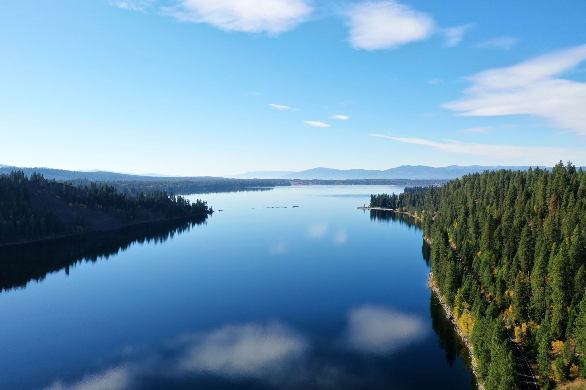
McCall is a small city in Valley County, Idaho, built along the southern shore of Payette Lake at roughly 5,020 feet of elevation. It sits about 100 miles north of Boise by road, a drive of two to two and a half hours on Idaho Highway 55, depending on season, traffic and conditions on the mountain grades.
What kind of place is McCall?
McCall is a year-round mountain town of a few thousand residents, with the population expanding considerably in summer and during the ski season. It functions as a gateway to the Payette National Forest, whose Payette National Forest headquarters office is located in McCall, and to Ponderosa State Park, which occupies a forested peninsula extending into Payette Lake on the edge of downtown.
The town’s economy runs on tourism and recreation — lake access, hiking and mountain biking trails, and a downtown of shops and restaurants oriented toward visitors — alongside a smaller year-round base tied to forestry, local services and second-home ownership. This is a different pattern from Boise’s own economy, which the Living in Boise hub covers in more detail for anyone comparing the two.
How far is McCall from Boise, exactly?
By road, McCall is close to 100 miles from downtown Boise, traveling north on Idaho Highway 55 the entire way. Drive time is commonly cited around two to two and a half hours under normal conditions, though this is a route-planning figure that shifts with weather, road work and traffic — readers should confirm current conditions on the Idaho Transportation Department’s own site before setting out.
There is no direct comparison to Boise’s in-town distances here; this is a different order of trip. For a sense of how compact Boise itself is by contrast, see how far apart everything in Boise actually is.
What does the drive up Highway 55 actually involve?
Highway 55 runs north out of the Boise area through Eagle, then climbs and drops through Horseshoe Bend before following the Payette River. Much of the route between Horseshoe Bend and Smiths Ferry falls within the Payette River Scenic Byway, a U.S. Forest Service–designated corridor that tracks the North and South Forks of the Payette River through a narrow canyon.
Past Smiths Ferry the road climbs into higher country around Round Valley and Lake Cascade before descending into McCall itself. It is a two-lane mountain highway for most of its length, with grades, curves, and sections that can be affected by rockfall, ice or snow.
- In winter, stretches of Highway 55 are subject to chain requirements, closures, or reduced speeds during storms.
- The Idaho Transportation Department publishes live road condition information for the route, which is the source to check before driving, not a fixed schedule.
- Boise residents planning a winter trip should also read up on winter driving in Boise, and what it doesn’t prepare you for on mountain roads, since valley driving conditions and mountain-highway conditions are not the same thing.
Can you get to McCall without a car?
Practically, no. There is no scheduled public transit connecting Boise and McCall — Valley Regional Transit, the Boise area’s own transit authority, operates within the Treasure Valley and does not run fixed routes north to Valley County. Reaching McCall from Boise means driving, being driven, or arranging private transport; readers weighing whether a car is necessary at all during a Boise stay should start with whether you need a car in Boise in the first place, since the answer is different for the city itself than for a trip like this one.

What is Payette Lake, and what is Ponderosa State Park?
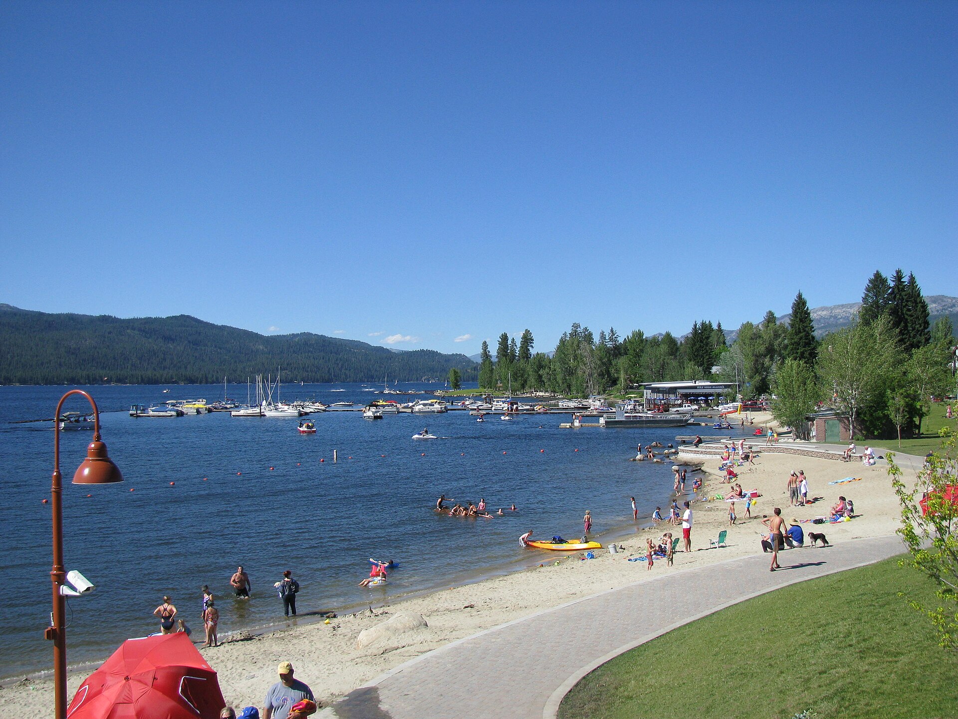
Payette Lake is a natural glacial lake bordering McCall’s downtown, several miles long and used for boating, swimming and fishing in the warmer months. Ponderosa State Park, managed by the Idaho Department of Parks and Recreation, sits on a peninsula reaching into the lake and preserves stands of old-growth ponderosa pine along with hiking trails, a campground and lakeshore access. The park’s own site is the source for current trail conditions, campground availability and seasonal fees.
The Payette National Forest, which surrounds McCall on most sides, is administered by the U.S. Forest Service and covers a large stretch of central Idaho backcountry; its ranger district office in McCall is a public information point for trail and forest road conditions.
What is the McCall Smokejumper Base?
The McCall Smokejumper Base is a working U.S. Forest Service facility where wildland firefighters trained in parachute jumping are based to respond to fires across the region’s national forests. It is a functioning operational base rather than a museum, though the Forest Service has at times offered public tours of the facility during the fire season — a detail that changes year to year and should be confirmed directly with the Payette National Forest before planning a visit around it.
When does McCall get busy, and why?
McCall’s calendar runs on two peaks. Winter draws skiers to Brundage Mountain, a resort near town, and centers on the McCall Winter Carnival, an annual event built around large-scale snow sculptures displayed downtown and along the lakefront — an established local tradition organized by the city and its business community, with dates set separately each year. Summer draws a different crowd for the lake, hiking and mountain biking, and is McCall’s busiest season for lodging and traffic on Highway 55.
Shoulder seasons — spring mud season and the weeks after Labor Day — are quieter, with some seasonal businesses reducing hours or closing. Anyone timing a Boise-based trip that includes a run up to McCall should also read the site’s broader look at when to visit Boise itself, since inversion season and summer heat in the valley do not line up neatly with McCall’s own calendar 5,000 feet higher up.
Is McCall a realistic day trip from Boise?
It is possible but tight. A round trip covers roughly 200 miles and four to five hours of driving alone, leaving a comparatively short window in McCall itself once travel time, stops and any time on the lake or trails are factored in. Many visitors treat McCall as an overnight rather than a same-day round trip for this reason.
Boise’s own day-trip menu includes closer options that fit more easily into a single day. Idaho City, a former gold-rush town in the Boise National Forest, is under an hour from downtown Boise and is a more realistic half-day trip. The Day Trips archive lays out the fuller set of options at varying distances, from the foothills immediately above the city to towns several hours out.
How does McCall’s winter compare to Boise’s?
McCall sits roughly 2,300 feet higher than Boise and receives substantially more snow, with a winter that runs longer and colder than the valley floor. Boise’s own winter is comparatively mild and shaped by temperature inversions trapping cooler air and pollutants in the valley — a pattern covered in detail on what Boise winter is actually like. The two places, sitting a hundred miles and a few thousand feet apart, run on genuinely different weather systems for much of the cold season, which is part of why McCall functions as a winter destination in its own right rather than an extension of Boise’s climate.
Related reading
getting around, planning, itineraries, food and the foothills, museums, landmarks, neighbourhoods and day trips, What Is the Drive to Horseshoe Bend From Boise Like?, Boise Day Trips Compared: Drive Times, and Which Roads Close
Access Boise is an independent guide written from published, checkable sources. We have not visited the places described here and we do not publish personal recommendations or invented ‘local favourites’ — where something is singled out as notable, we say who says so. Opening times, fares, closures and prices change at short notice, so treat everything here as a starting point and confirm with the museum, operator or venue directly before building a day around it. We give no advice on visas, insurance, health or safety; use your own government’s official guidance for those.