The drive to Horseshoe Bend is a roughly 30-mile run north out of Boise on Idaho State Highway 55, starting on flat valley road through Eagle and ending in a river canyon. It takes under an hour in clear conditions, follows the Payette River for the final stretch, and is the same road used to reach Cascade, Donnelly and McCall.
Where does the route actually start?
Highway 55 begins in the Boise metro area and runs north through Eagle, one of the fastest-growing suburbs in the Treasure Valley. This first section is ordinary arterial road: stoplights, subdivisions, a bridge over the Boise River. It does not feel like mountain driving yet. The character of the drive changes once the highway clears Eagle’s northern edge and the valley narrows toward the foothills.
What does the drive look like once it leaves the valley?
North of Eagle, Highway 55 climbs into rolling grassland and then drops into the canyon of the Payette River. From this point to Horseshoe Bend, the road is a two-lane highway that follows the river’s course rather than cutting straight through it, with curves shaped by the canyon walls rather than by traffic engineering. The Payette itself is a working river in this stretch — a rafting and kayaking destination covered in more detail on this site’s own overview of the Payette River and where people run it.
The road is narrower here than the valley section, with limited passing zones and a lower posted speed than the open highway further south. Drivers moving equipment, boats or trailers north toward the river or the mountains beyond make up a steady share of the traffic, particularly on weekends in warmer months.
How long does the drive actually take?
Under normal daylight conditions, the drive from central Boise to Horseshoe Bend is commonly covered in under an hour, reflecting a distance of roughly 30 miles on a road with a mixed speed limit — faster in the valley section, slower through the canyon. That figure assumes clear weather and no incidents on a road that has neither.
Journey time is shaped less by distance than by what is happening on the canyon section: a slow-moving vehicle, seasonal construction, or reduced visibility can add meaningfully to the trip. For a general sense of how distances and drive times work across the region, the site’s own guide to how far apart everything actually is around Boise is a useful reference point.

Is the road prone to closures or difficult driving conditions?
Idaho 55 through the Payette River canyon is a road the Idaho Transportation Department (ITD) monitors for rockfall, landslide activity and winter conditions, and it has a documented history of closures for slide cleanup and slope stabilization work. This is not unique to Horseshoe Bend — it is typical of Idaho’s river-canyon highways generally, and it is exactly the kind of detail that changes without warning.
Rather than repeat a specific closure history here, the more useful step is to check ITD’s own real-time system before departure, at 511.idaho.gov, which lists current road conditions, incidents and winter advisories for state highways including Highway 55. In winter, expect the canyon section to demand more from a driver than the valley section does; this site’s broader notes on winter driving conditions around Boise apply directly to this route.
What is Horseshoe Bend itself?
Horseshoe Bend is a small incorporated city in Boise County, Idaho, sitting where Highway 55 runs alongside a sharp bend in the Payette River — the feature that gives the town its name. Boise County’s seat of government is Idaho City, further east in the mountains, but Horseshoe Bend is the county’s largest incorporated community by population. The town functions primarily as a waypoint and a working community along the highway rather than as a destination with a defined visitor district; there is no historic core built for foot traffic in the way Boise’s own downtown or the Basque Block are.
Readers looking for a mountain gold-rush town with an actual historic district intact should look further east, to Idaho City and what remains of its gold rush, reached by a separate mountain road out of the Boise area rather than by continuing north on 55.
Where does the road go beyond Horseshoe Bend?
Highway 55 continues north from Horseshoe Bend along the Payette River to Banks, where the North Fork and South Fork of the Payette meet and where a separate state highway, Idaho 17, branches east toward Garden Valley. Staying on 55 carries the drive on through Smiths Ferry and Round Valley toward Cascade and Donnelly, and eventually to McCall — a considerably longer trip than the run to Horseshoe Bend alone. This site’s own account of how far McCall actually is from Boise covers that fuller version of the same highway.
For a driver treating Horseshoe Bend as a turnaround point rather than a stop on the way to McCall, the practical shape of the day is short: a canyon drive out, a look at the river and the bend itself, and a return on the same road.
Do you need a car for this, and is it a realistic day trip?
Yes — there is no scheduled transit service along Highway 55 north of Eagle, and the drive assumes a private vehicle. This is consistent with how most destinations outside the Treasure Valley work; the broader question of whether a car is necessary in and around Boise is addressed at length elsewhere on this site, and the short answer for anything north on 55 is yes.
As a day trip from Boise, the drive to Horseshoe Bend is short enough to combine with other stops along the same corridor — a look at the Payette River, a longer run north toward Banks and Garden Valley, or a continuation to Cascade or McCall for those with a full day rather than an afternoon. General planning for day trips out of the city, including how road conditions and season affect the choice, is covered in this site’s Day Trips archive and its broader practical planning hub.
What should a driver check before leaving?
Two things are worth confirming immediately before departure rather than relying on general description: current road conditions through the canyon section, and daylight if the plan includes continuing north beyond Horseshoe Bend. ITD’s own reporting system is the authoritative source for the first. For the second, the season and the actual route — as opposed to a fixed idea of “the drive to Horseshoe Bend” — should decide the departure time, since the canyon road behaves differently in July than in January.
Beyond that, the route itself does not require special preparation: it is a paved state highway the entire way, used daily by residents of Boise County commuting into the Treasure Valley, not a backcountry road. Readers wanting the wider context of how Idaho’s mountain highways and getting-around logistics fit together can start with this site’s Getting Around archive.
Access Boise is an independent guide written from published, checkable sources. We have not visited the places described here and we do not publish personal recommendations or invented ‘local favourites’ — where something is singled out as notable, we say who says so. Opening times, fares, closures and prices change at short notice, so treat everything here as a starting point and confirm with the museum, operator or venue directly before building a day around it. We give no advice on visas, insurance, health or safety; use your own government’s official guidance for those.
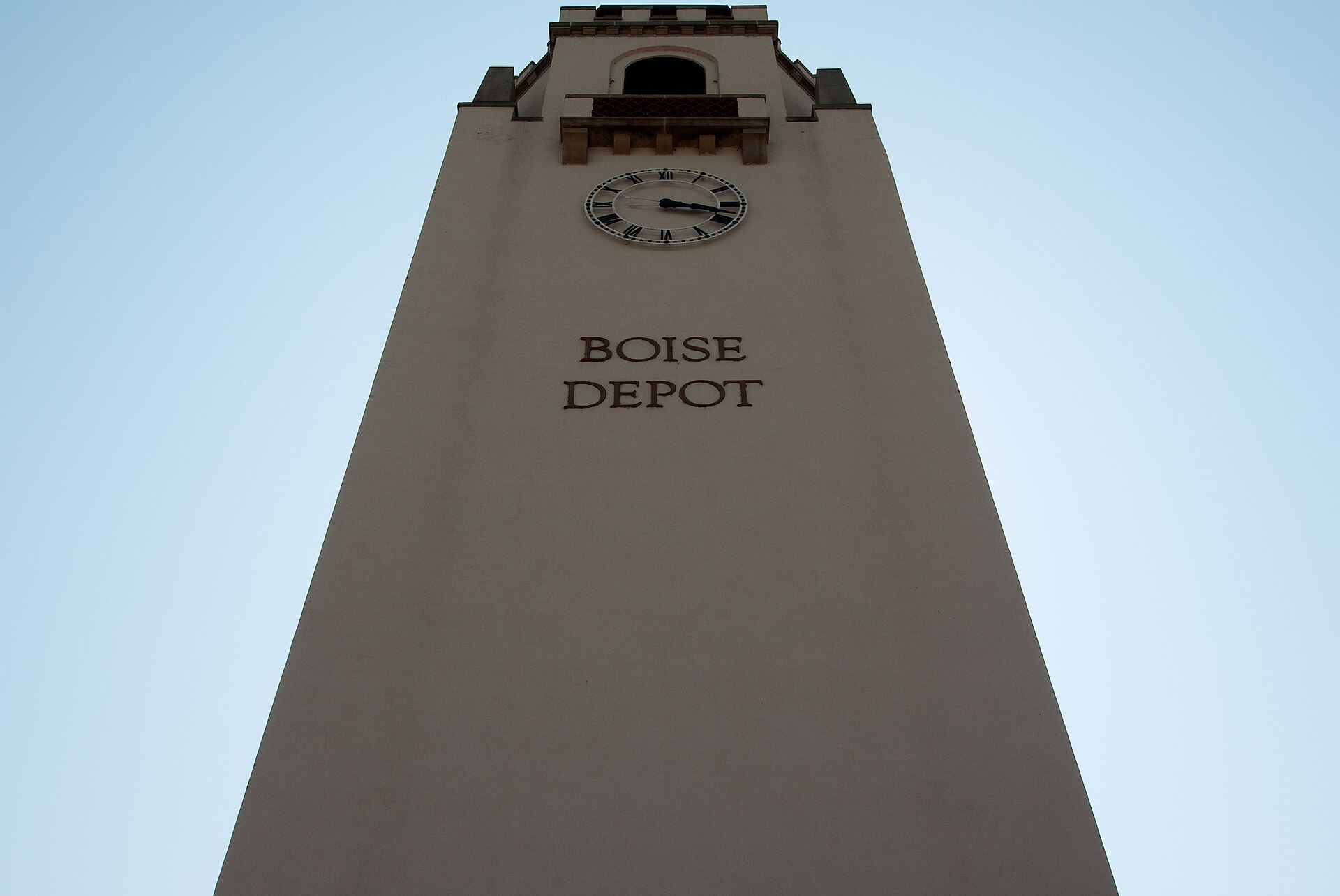
Featured image: Photo by Jerry Dalton, source, CC BY-SA 4.0

Related reading
Boise Day Trips Compared: Drive Times, and Which Roads Close.