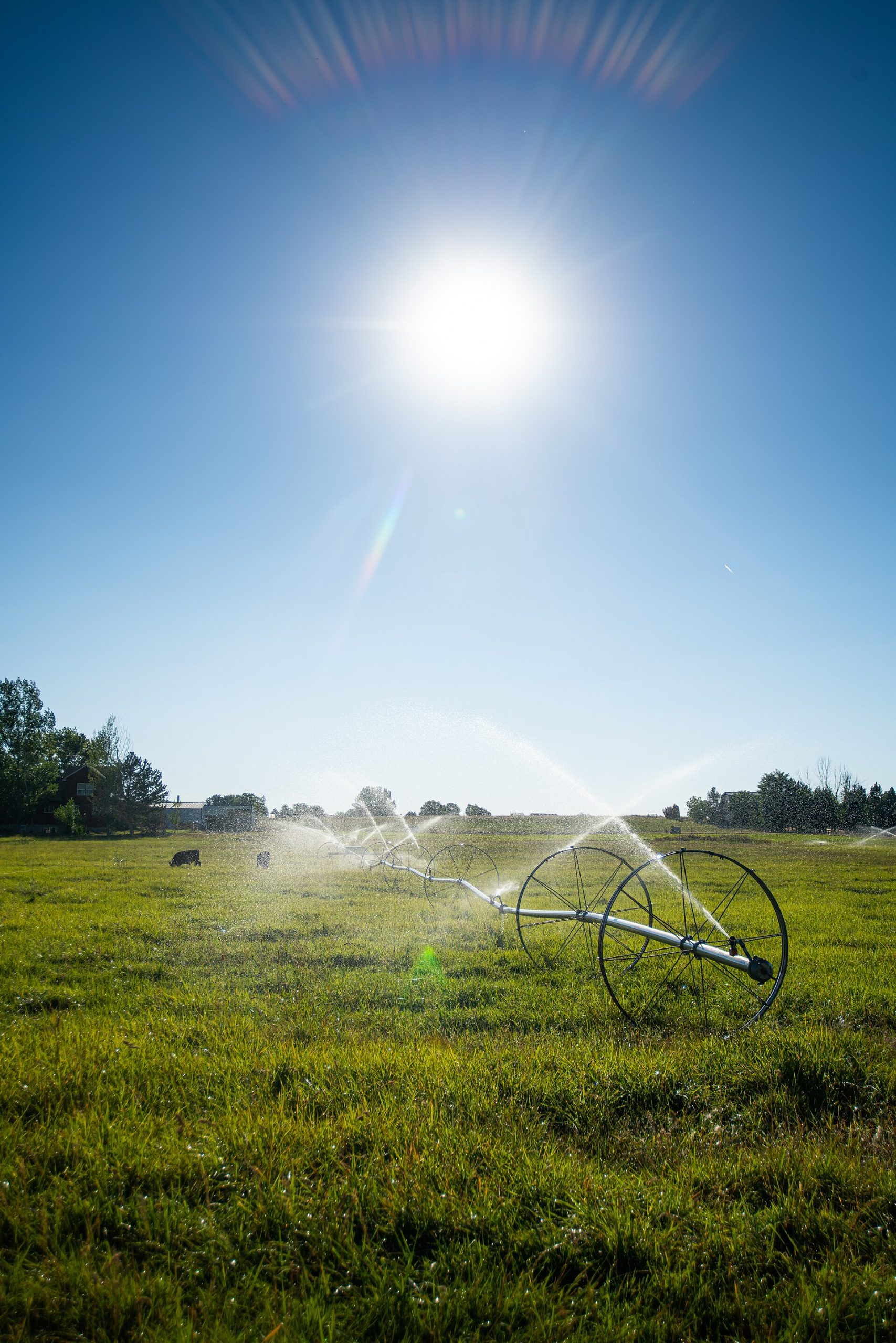
Kuna is a city in Ada County, Idaho, roughly 20 miles southwest of downtown Boise, with a population that has grown sharply over the past two decades according to U.S. Census Bureau data. It matters to Boise-area readers mainly as the closest town to the Snake River Birds of Prey National Conservation Area, Swan Falls Dam and Celebration Park.
What is Kuna, exactly?
Kuna (pronounced KYOO-nuh) is an incorporated city within Ada County, the same county as Boise, Meridian and Eagle. It sits on the desert bench south of the Boise River valley, where irrigated farmland gives way to open sagebrush rangeland toward the Snake River canyon.
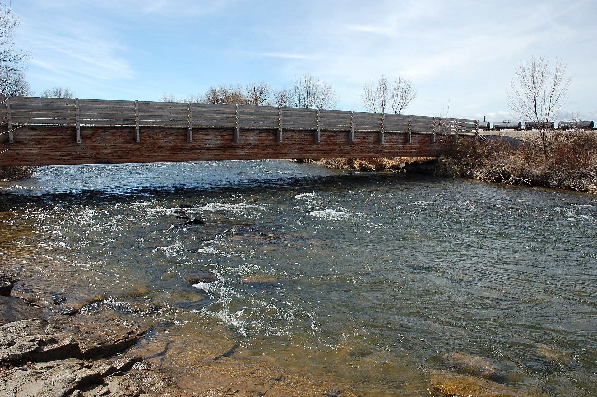
The city has its own government, school district and downtown core along Ada and Main streets, with Indian Creek running through the middle of town. It functions as a distinct municipality rather than a Boise neighborhood — closer in kind to Nampa or Caldwell than to a district inside Boise’s own boundaries.
Where is Kuna in relation to Boise?
Kuna lies southwest of Boise, reached most directly via Idaho Highway 69, which runs south from Meridian. It is not on the Interstate 84 corridor that links Boise, Meridian, Nampa and Caldwell; getting there means leaving the freeway route and driving south through farmland.
That positioning explains a lot about the town. Kuna grew up as an agricultural community serving irrigated farms fed by canals off the Boise River system, and it has only recently become a commuter town for people working in Boise or Meridian. Readers weighing how the wider valley fits together can compare this against the distances between Boise-area towns more generally.
What is Kuna known for, beyond being a suburb?
Kuna’s civic identity is tied closely to the empty land south of town. The city describes itself, in its own tourism and planning materials, as a gateway community to the Snake River Birds of Prey National Conservation Area — a designation the U.S. Bureau of Land Management manages and describes on its own site as one of the densest concentrations of nesting raptors in North America.
That conservation area, along with the Snake River canyon it follows, is the reason Kuna appears on maps aimed at visitors at all. Without it, Kuna would register mainly as a rapidly built residential community; with it, the town functions as the last stop for services before the canyon rim.
What is Kuna near?
Three public lands sites define what’s near Kuna, and all three are reached by driving south from town on paved but rural roads.
- Snake River Birds of Prey National Conservation Area — a BLM-managed area of canyon and rangeland habitat for nesting raptors, detailed further in this site’s guide to the conservation area.
- Swan Falls Dam — a hydroelectric dam on the Snake River with a visitor center operated by Idaho Power, covered separately in what Swan Falls Dam is and why it’s there.
- Celebration Park — an Idaho archaeological site with Native American petroglyphs on basalt boulders along the Snake River, described by Canyon County’s own parks materials and explained further in what’s carved into the rocks at Celebration Park.
None of these sites are inside Kuna itself. They lie south of town along Swan Falls Road and Highway 69, on land managed by the BLM, Idaho Power and Canyon and Ada counties respectively. Kuna’s role is as the last town with fuel, food and services before that stretch of road.
How fast has Kuna grown, and why does that matter?
U.S. Census Bureau estimates have repeatedly placed Kuna among the fastest-growing cities in Idaho over the past decade, with new residential subdivisions expanding well beyond the historic town core. This growth mirrors — and in percentage terms has sometimes outpaced — growth in better-known Boise suburbs such as Eagle and Meridian.
For residents of the Boise metro, that growth matters for two practical reasons. First, it has extended commuter traffic along Highway 69 and put pressure on a road network that was built for a much smaller agricultural town. Second, it has begun to change what Kuna’s downtown looks like, adding services and housing stock alongside the older grain-town core along Main Street, a pattern discussed more broadly on this site’s guide to living in the Boise area.
Is there a historic Kuna, separate from the new growth?
Kuna’s older core reflects its origin as a railroad and irrigation-era farm town, platted in the early 20th century along what became the Oregon Short Line rail corridor. The Idaho State Historical Society’s records on Ada County settlement place Kuna within the broader story of canal-fed agriculture that shaped much of the valley south and west of Boise.
That older layer — grain elevators, a compact grid of streets near Indian Creek, farm-supply businesses — still exists underneath the newer subdivisions, and it’s the part of town closest to the road out toward the conservation area.
Do you need a car to visit Kuna from Boise?
Yes. Kuna is not served by a frequent local bus route comparable to routes inside Boise itself, and the sites it’s known for — the Birds of Prey area, Swan Falls Dam, Celebration Park — are all further south again, reached only by road. Anyone planning the trip should assume private transport is required, in line with general guidance on this site about whether you need a car in the Boise area.
Idaho Highway 69 is the standard route from Meridian; it is a paved two-lane highway that carries both commuter traffic and trips out toward the canyon. Road conditions and any seasonal closures on the gravel roads nearer the river should be confirmed with the Bureau of Land Management or Idaho Power directly before a trip, since neither operator’s site is reproduced here.
Why would a Boise-based visitor go to Kuna at all?
Kuna itself is not a sightseeing destination in the way downtown Boise or the Basque Block is; its interest for outside visitors is almost entirely as the access point to public lands south of town. Anyone planning a day trip built around raptors, the dam or the petroglyphs will pass through or near Kuna regardless, making it worth understanding as a waypoint rather than an endpoint.
For a broader sense of how a Kuna-area outing fits alongside other options from Boise, this site’s day trips archive and practical planning hub cover comparable routes out of the city, including distances, road types and what to expect from towns that sit just outside Boise’s own boundaries, such as the entries on Boise-area neighborhoods and nearby towns.
Access Boise is an independent guide written from published, checkable sources. We have not visited the places described here and we do not publish personal recommendations or invented ‘local favourites’ — where something is singled out as notable, we say who says so. Opening times, fares, closures and prices change at short notice, so treat everything here as a starting point and confirm with the museum, operator or venue directly before building a day around it. We give no advice on visas, insurance, health or safety; use your own government’s official guidance for those.