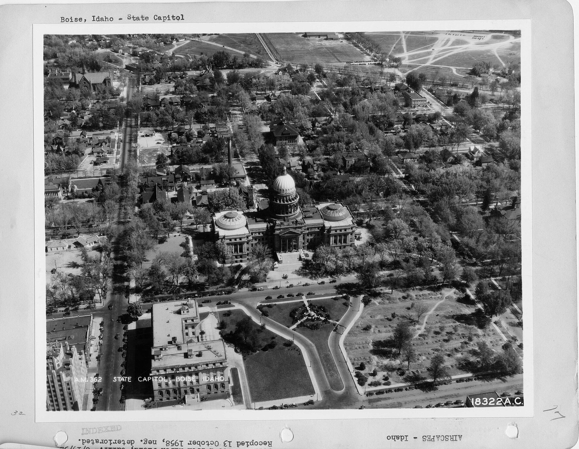
West Boise is the informal but widely used name for the broad, largely residential and commercial district that runs west from roughly the Boise River and the Connector corridor out toward the city’s border with Meridian and Eagle. It is not a single neighborhood but a stretch of the city — mostly built out from the 1970s onward as subdivisions, shopping centers and office parks followed the path of Interstate 84 and its west-side interchanges.
What Counts as West Boise?
West Boise generally refers to the part of the city west of downtown and south of the foothills, bounded loosely by Interstate 84 to the south, State Street and the Collister area to the north, and Cole Road as the rough eastern edge before it gives way to the older, denser parts of the city.
There is no single official line on a map. The city of Boise’s own neighborhood association system, which divides the whole city into dozens of recognized associations for planning and communication purposes, splits this territory into several separate associations rather than treating it as one unit. “West Boise” functions in everyday use — in real estate listings, traffic reports and casual directions — as shorthand for all of them together. For a fuller picture of how Boise’s neighborhoods differ from one another, Boise’s Neighbourhoods: What Are They Like to Live In? covers the pattern across the whole city.
What Anchors West Boise Commercially?
West Boise is where much of Boise’s big-box and mall-format retail sits, concentrated along Franklin Road, Overland Road, Fairview Avenue and the streets that connect them to I-84. Boise Towne Square, an enclosed shopping mall near the Franklin Road interchange, is the retail anchor of the district and one of the largest enclosed malls in Idaho; it has drawn national chain retailers to the surrounding blocks since it opened, reshaping shopping patterns that had previously centered on downtown.
Healthcare is also concentrated here. St. Alphonsus Regional Medical Center’s main campus sits in West Boise, off Curtis Road, making the district one of the city’s two major hospital hubs alongside the St. Luke’s campus closer to downtown. For how the city’s medical resources are organized more broadly, What Is Boise’s Healthcare Picture? A Straight Answer lays out the wider system.
How Did West Boise Grow From Farmland to Suburb?
Before the postwar period, the land now called West Boise was largely agricultural — irrigated farmland fed by the same canal system that still runs, mostly unseen, beneath and around the city’s western neighborhoods. The pattern of growth followed a familiar American arc: after Interstate 84 was built through the Boise Valley, interchanges at Franklin Road, Cole Road, Cloverdale Road and Vista Lane made land west of the old city boundary newly accessible by car, and subdivisions and strip retail followed the road access rather than the other way around.
That growth accelerated through the 1980s and 1990s as Boise Towne Square and its surrounding retail corridor drew shoppers and, in turn, more housing construction to the streets around it. It continued through the 2000s and 2010s as Ada County became one of the faster-growing counties in the country by U.S. Census Bureau measures, with new subdivisions filling in the remaining agricultural land toward the Meridian line. Much of what is now West Boise was built in that stretch of roughly four decades, which is why the district reads as newer and more car-oriented than the older grid neighborhoods closer to downtown.
The city’s own account of how growth has changed Boise’s feel and pace is discussed at length in What Do People Mean When They Say Boise Has Changed?, and the housing side of that expansion is covered in What Has Happened to Boise’s Housing Market? A Straight Answer.

What Is West Boise Like to Live In Today?
West Boise today is a mix of single-family subdivisions built in distinct waves — ranch-style homes from the 1970s and 80s closer to Cole Road, larger developments with curving streets and cul-de-sacs further out toward Eagle Road — along with apartment complexes concentrated near the commercial corridors and the interstate. It is generally less walkable than downtown or the North End, and daily life there tends to assume a car, though the district is served by Valley Regional Transit routes along its major arterials.
Residents weighing whether a car is optional in this part of the city can compare notes in What Is Boise Like Without a Car, Long Term? and Is Boise Walkable? Which Parts?, both of which address how walkability actually varies neighborhood by neighborhood rather than city-wide. The mechanics of the bus network itself are covered in What Is Boise’s Public Transport Like for Residents?.
Because so much of West Boise was built to accommodate growth rather than preserve an existing streetscape, it tends to have a lower cost of entry into homeownership than the older, more architecturally distinct neighborhoods near downtown — though that gap has narrowed considerably as Boise’s housing market has tightened overall. Cost of Living in Boise vs. the Rest of Idaho puts that shift in context against the rest of the state.
How Does West Boise Connect to the Rest of the City?
West Boise’s road network is built around a handful of east-west arterials — Franklin Road, Overland Road, Fairview Avenue and State Street — that carry most of the district’s traffic toward downtown and, in the other direction, toward Meridian. Interstate 84 runs along its southern edge, giving the district faster regional access than many older neighborhoods have, which is part of why light-industrial and office development followed the retail growth here rather than settling downtown.
The district does not include a stretch of the Boise River Greenbelt comparable to the paths through Downtown or the East End, which is one practical difference residents notice; those wanting the Greenbelt’s full route can see how it is laid out in Boise River Greenbelt End to End. For commuters and residents thinking about winter driving on West Boise’s wide arterials, Winter Driving in Boise: What to Know and How Does Boise Handle Snow? A Straight Answer cover how the city prioritizes plowing on major routes like these.
How Does West Boise Relate to Eagle and Meridian?
West Boise’s western edge blurs into Meridian and, further north, Eagle — both independently incorporated cities that have grown at least as fast as Boise itself over the past two decades. There is no hard physical break between where Boise’s western neighborhoods end and Meridian’s eastern ones begin; the transition is marked mostly by a change in municipal jurisdiction rather than a change in landscape.
That proximity is part of why West Boise functions, in practice, as a hinge between Idaho’s capital and its fastest-growing suburbs. Readers comparing the character of those neighboring cities can find more detail in What Is Eagle, Idaho? Boise’s Fast-Growing Suburb and What Is Nampa, Idaho? Boise’s Neighbor, Explained.
Where Does West Boise Fit Into the Wider City?
West Boise is not a tourist district and has little in the way of listed landmarks or museum collections; its role in the city is functional rather than historic — retail, healthcare, housing and highway access, largely built to serve a growing population rather than to be visited for its own sake. For readers building a picture of Boise as a whole, including the neighborhoods that do carry historic weight, the Access Boise guide hub and the Living in Boise hub are the better starting points, with the neighbourhoods archive covering how each part of the city took its current shape.
Access Boise is an independent guide written from published, checkable sources. We have not visited the places described here and we do not publish personal recommendations or invented ‘local favourites’ — where something is singled out as notable, we say who says so. Opening times, fares, closures and prices change at short notice, so treat everything here as a starting point and confirm with the museum, operator or venue directly before building a day around it. We give no advice on visas, insurance, health or safety; use your own government’s official guidance for those.