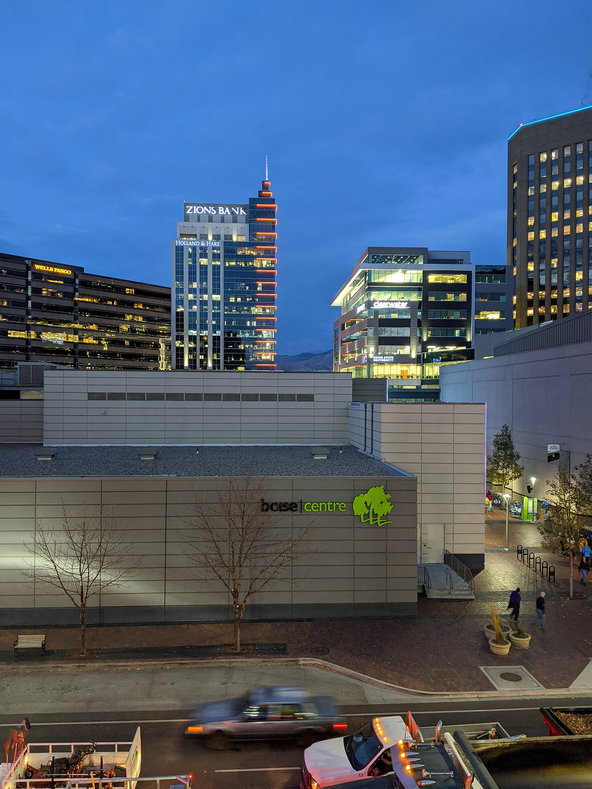
Downtown Boise is the city’s original street grid and civic core, laid out around the mid-1800s townsite between the Boise River and the base of the foothills. It has no single fixed legal boundary. Most residents and city documents treat it as the area roughly bounded by the river to the south, Americana Boulevard to the west, Broadway Avenue to the east, and the rise toward the North End on the north side.
Is there an official boundary for downtown Boise?
No single ordinance draws one line around “downtown.” The term is used in overlapping ways by different bodies — the city’s zoning code, its comprehensive plan (Blueprint Boise), and the Downtown Boise Association, a business improvement district that promotes and maintains the core commercial area. Each uses a slightly different edge depending on its purpose, which is why the boundary feels approximate rather than official.
What is consistent across all of them is the center: the historic grid of numbered streets running north–south, crossed by named east–west streets such as Idaho, Main and Bannock, with Capitol Boulevard running through the middle as the district’s principal spine.
Where does downtown Boise actually begin and end?
In practice, downtown is the area between the Boise River on the south and the point where the grid gives way to residential streets climbing toward the North End on the north — roughly the line of State Street and Fort Street. East–west, it runs from around Americana Boulevard, near the Boise State University campus, to Broadway Avenue near the river crossing that leads toward the East End.
- South edge: the Boise River and its Greenbelt path, a paved, publicly maintained corridor the city has built along both banks.
- North edge: the rise into the North End’s residential grid, roughly at State or Fort Street.
- West edge: around Americana Boulevard, close to Boise State University.
- East edge: around Broadway Avenue, where downtown meets the approach to the East End.
These are working boundaries, not survey lines. A city planning document, a Realtor’s listing and a bus schedule will each draw the edge slightly differently, and none of them is more “correct” than the others.
What holds the grid together?
Capitol Boulevard is the organizing axis. It runs from the Idaho State Capitol at the north end of downtown, south across the river, up onto the Boise Bench to the Boise Depot — a routing described in detail on what Capitol Boulevard connects. Everything east of that line and everything west of it is addressed accordingly, which is the practical reason locals use Capitol Boulevard as a mental dividing line for downtown even though it has no administrative status.
The rest of the grid is numbered streets — roughly 2nd through 15th — crossing named streets that run toward the river. That grid, largely unchanged since the 19th century, is why downtown Boise is walkable in a way that postwar suburban Boise is not: blocks are short, corners are frequent, and almost nothing requires a car once inside it.
What is actually inside that boundary?
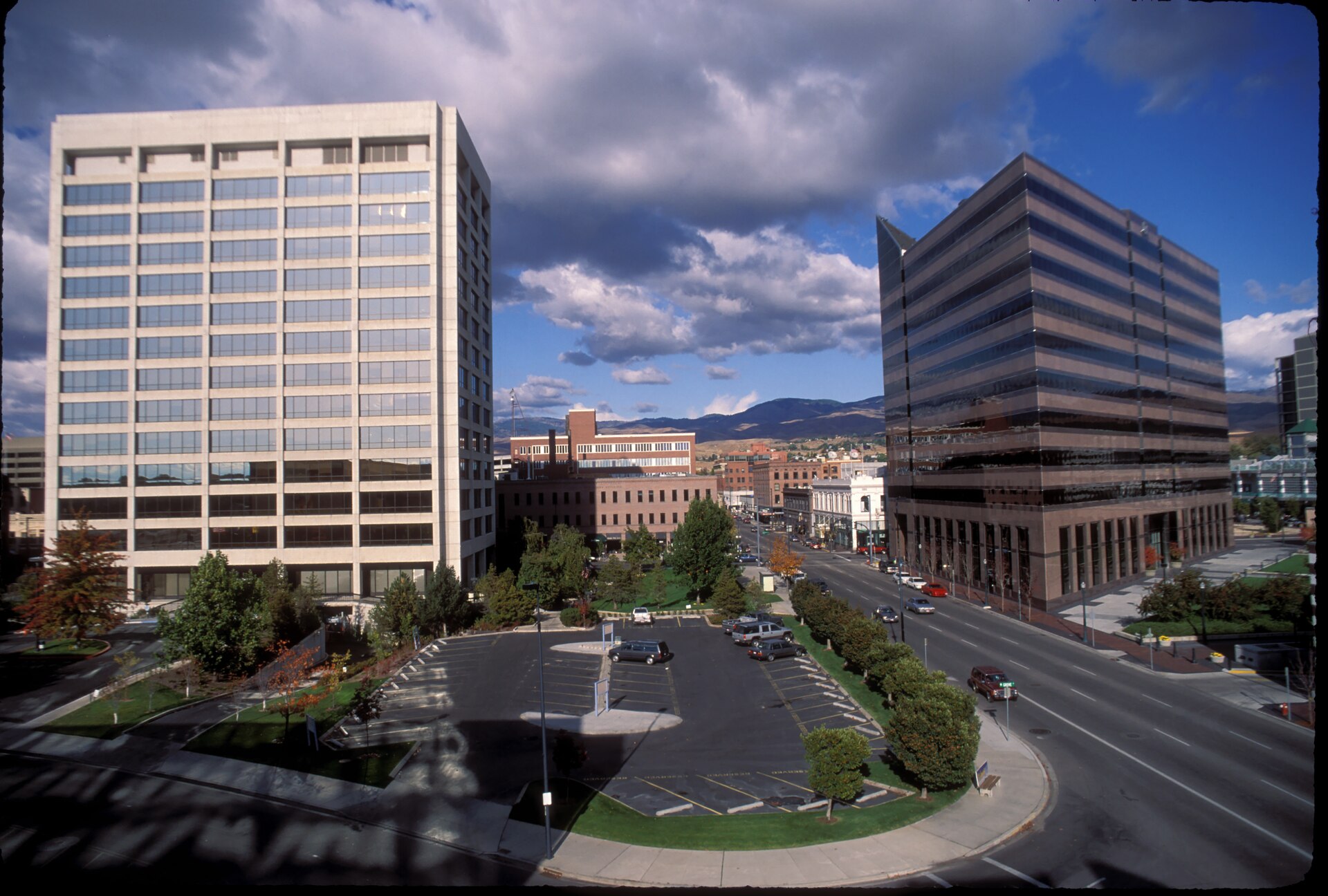
Downtown contains most of the city’s civic buildings, its densest concentration of offices and its public plazas. Key anchors include:
- The Grove Plaza, the city’s main outdoor gathering space, and the adjoining Boise City Hall Plaza.
- The Basque Block, a stretch of Grove Street the National Park Service and the city both recognize for its concentration of Basque cultural institutions, including the Basque Museum and Cultural Center.
- The Ada County Courthouse and its Depression-era murals.
- Government and civic buildings clustered near Capitol Boulevard, including approaches to the Idaho State Capitol itself, technically just north of the core commercial blocks.
Downtown is also where most of the city’s museums and performance venues sit, several of which are covered on the Access Boise guide to Boise’s museums and landmarks, and where the landmarks and sights archive tracks individual buildings in more depth.
What is “BoDo,” and is it part of downtown?
BoDo — short for Boise Downtown — is an informal name for the redeveloped blocks around 6th and Broad streets, on former rail yard land near the old Union Pacific route through the city. It is a commercial and entertainment cluster within downtown’s southern half, not a separate district with its own boundary. Its development is closely tied to Boise’s rail history, which is documented on what remains of Boise’s railroad history.
What neighborhoods border downtown, and where does downtown stop being them?
Downtown Boise is ringed by named residential and mixed-use neighborhoods, each covered separately because each has its own identity, history and boundary logic:
- The North End, beginning roughly where the downtown grid gives way to older residential streets north of State Street.
- The East End, across the river to the southeast, reached from downtown via Broadway Avenue and the streets around the Old Idaho Penitentiary grounds.
- The Boise Bench, the elevated terrace south of the river where the Boise Depot sits, distinct from the flat downtown grid below it.
- The Vista neighborhood, further south along the Bench, near the airport corridor.
None of these has a hard line where it “starts” — the shift from downtown’s commercial grid to a residential neighborhood is gradual, marked more by a change in building type and street width than by a sign.
How does downtown function differently for someone who lives here?
For a resident, downtown Boise is less a destination than infrastructure: it is where the county courthouse, the main library branch, and much of the city’s office and government employment sit, alongside a growing amount of downtown housing. Parking is metered and managed by the city, with several public garages; residents who work downtown typically treat a garage pass or monthly permit as a fixed cost, the way transit riders elsewhere treat a fare card.
The Boise River Greenbelt runs along downtown’s southern edge and is used daily for commuting on foot or by bike as much as for recreation — a detail more relevant to someone living nearby than to a visitor passing through once. Broader detail on how the city works day to day, including transport and seasonal shifts, is covered on the Access Boise hub on living in Boise.
How should a visitor think about downtown’s size?
Downtown Boise is compact enough to walk end to end in well under an hour. Most of its museums, plazas and historic buildings sit within a fifteen-minute walk of the Grove Plaza, and the Greenbelt makes the river edge easy to reach on foot from almost any downtown block. Planning logistics — how to move between downtown and the foothills, the airport, or nearby towns — are covered on the Access Boise practical planning hub, and neighborhood-by-neighborhood detail sits in the neighbourhoods archive.
The absence of a single official boundary is, in the end, a fair description of how the district behaves. Downtown Boise is defined less by a line on a map than by density — of streets, of civic buildings, of foot traffic — and that density simply thins out gradually in every direction until it becomes one of the named neighborhoods around it.
Access Boise is an independent guide written from published, checkable sources. We have not visited the places described here and we do not publish personal recommendations or invented ‘local favourites’ — where something is singled out as notable, we say who says so. Opening times, fares, closures and prices change at short notice, so treat everything here as a starting point and confirm with the museum, operator or venue directly before building a day around it. We give no advice on visas, insurance, health or safety; use your own government’s official guidance for those.
Featured image: Photo by Ac530, source, CC BY 4.0
