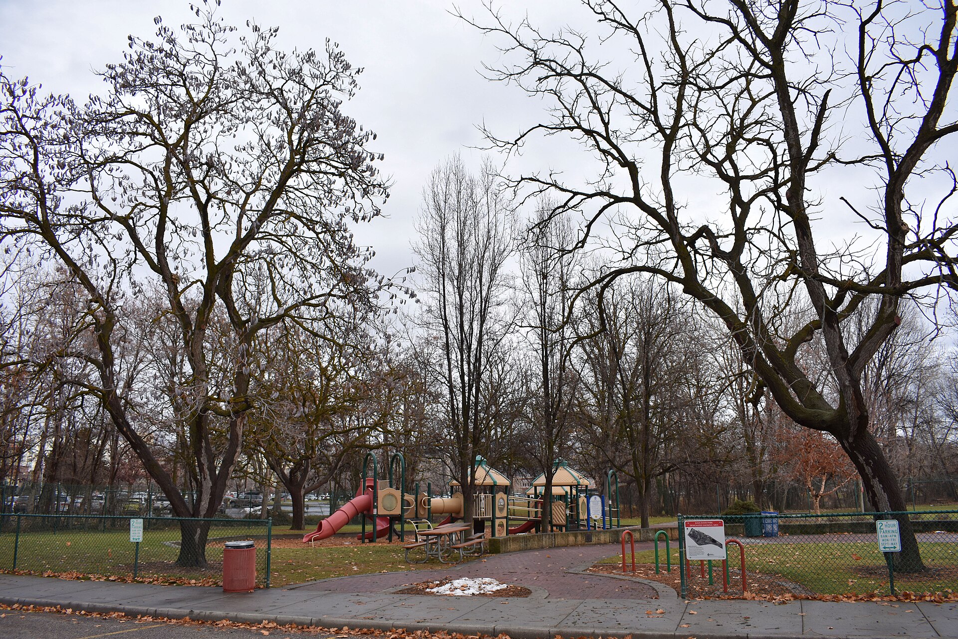
Boise’s foothills trails close for three overlapping reasons: mud, wildlife winter range, and wildfire risk. The city’s Ridge to Rivers trail system posts closures trail-by-trail and updates them through the wet season and fire season, and the only reliable way to know what is open on a given day is to check that status page before heading out.
Who decides when a foothills trail closes?
The Ridge to Rivers programme, run jointly by the City of Boise, Ada County, the Bureau of Land Management, and the Idaho Department of Lands, manages the trail network above the city and is the authority on closures. Its own site publishes a current trail status list, and that list — not a guidebook, not a map app — is the thing to consult before a hike or ride.
The system covers roughly 190 miles of connected trail across the foothills north of the city, threading through named units such as Hulls Gulch, the land around Table Rock, and the trails accessed from Camel’s Back Park. A general overview of how the whole network fits together is on the Ridge to Rivers system page.
Why do trails close for mud?
Foothills trails close after rain or snowmelt because the soil is decomposed granite, which turns to a soft paste when wet and deforms permanently under foot and tire traffic. Ridge to Rivers calls this a “mud closure” and applies it selectively, trail by trail, rather than shutting the whole system at once.
This is a maintenance issue as much as a comfort one. A single rider or hiker crossing a saturated trail leaves a rut that does not heal on its own; multiple users widen it into a channel that then directs water down the slope and accelerates erosion. Ridge to Rivers’ own materials describe this damage as effectively permanent without trail crew rebuilding, which is unpaid volunteer and staff time spent on damage that closures would have prevented.
Mud closures in Boise are most common in late winter and early spring, when snow is melting from the upper foothills while lower trails are simultaneously softened by rain — a window that can open and shut within days depending on temperature and precipitation. There is no fixed calendar date for this; it is triggered by soil condition, not season on paper. Riders and hikers are asked to turn back at a closure sign rather than route around it onto adjacent open ground, since going around simply widens the damaged area.
Why do some trails close for wildlife?
A number of foothills trails carry a seasonal closure specifically to protect winter range for mule deer and elk, which move down from higher elevation in winter and rely on the foothills’ south-facing slopes for forage when snow covers higher ground. Idaho Fish and Game and Ridge to Rivers coordinate on which corridors are closed and for how long.
The logic is straightforward: winter is already the hardest season for these animals, and repeated disturbance from trail users forces them to expend fat reserves fleeing rather than feeding, which measurably affects survival and reproduction the following spring. Closing specific trail segments during the coldest months removes that disturbance in the areas animals actually depend on, while leaving the broader network open elsewhere.
These wildlife closures typically run from the start of winter into spring, but exact dates are set annually and posted on the Ridge to Rivers status page rather than fixed year to year. A separate page on this site covers what lives in the Boise foothills and what to watch for, including how deer and elk use this terrain.
.jpg)
Do trails close for wildfire?
Yes. During Idaho’s dry summer and early autumn, foothills land can be closed outright — sometimes for days, sometimes longer — because of active fire, extreme fire danger, or restoration work on land that has already burned. These closures can appear with little notice and are managed by the same partner agencies, including the Idaho Department of Lands and the BLM, who hold jurisdiction over the affected parcel.
Recently burned foothills terrain is also closed for longer stretches afterward, since bare, fire-scarred soil erodes badly and revegetation depends on keeping foot and bike traffic off the slope while grasses and shrubs re-establish. This is a different kind of closure from a wildlife or mud closure — it is about land recovery over a season or more, not a short-term weather response.
Broader context on how the dry season affects the whole area, including smoke and heat, is covered on this site’s pages about wildfire season near Boise and the region’s summer heat.
How does a visitor or resident actually check current status?
Ridge to Rivers publishes a live closures list on its own website, organized by trail name, and this is the correct first stop before any foothills outing — not a general search, not a printed map, not last year’s experience of the same trail. Trailhead kiosks at major access points, including those near Camel’s Back Park and Military Reserve Park, also post physical closure notices, but the online list is updated faster and covers the whole system in one place.
- Check the Ridge to Rivers trail status page for the specific trail, not just the general area.
- Expect mud closures to appear and lift within days depending on weather — check again if planning more than a day or two out.
- Expect wildlife winter-range closures to be seasonal and roughly consistent year to year, but confirm current dates each winter.
- Expect wildfire-related closures to be posted with little warning during dry months and to be strictly enforced.
What happens if a trail is closed and someone goes anyway?
Closures on Ridge to Rivers land are enforceable, since the trails cross city, county, state, and federal land managed under agreements that include closure authority. Beyond any formal enforcement, riding or hiking a closed trail during mud season causes damage that volunteer and paid trail crews then have to repair, and disturbing wildlife on a winter-range closure can have a real cost to animals already under seasonal stress. Turning back at a posted closure and using an open alternative trail is the standard practice the managing agencies ask users to follow.
How does this fit into planning a foothills day?
For a first-time visitor, the practical approach is to pick a destination — Table Rock, Hulls Gulch, or the trails above Veterans Memorial State Park — and check that specific trail’s status the same day, since conditions vary block by block across the foothills. Residents who ride or hike the system regularly tend to build a mental map of which trails hold up in wet weather and which turn to paste quickly, but even that local knowledge does not substitute for checking the current list, since closure boundaries shift.
Broader planning around the foothills, including how the trail system connects to the rest of the city’s outdoor network, is covered in the practical planning hub and the parks and foothills archive. For a wider sense of how Boise’s outdoor access fits into daily life here, the living in Boise hub covers how residents use the foothills across the year, not just on a single visit.
Access Boise is an independent guide written from published, checkable sources. We have not visited the places described here and we do not publish personal recommendations or invented ‘local favourites’ — where something is singled out as notable, we say who says so. Opening times, fares, closures and prices change at short notice, so treat everything here as a starting point and confirm with the museum, operator or venue directly before building a day around it. We give no advice on visas, insurance, health or safety; use your own government’s official guidance for those.
Featured image: Photo by Tamanoeconomico, source, CC BY-SA 4.0
.jpg)