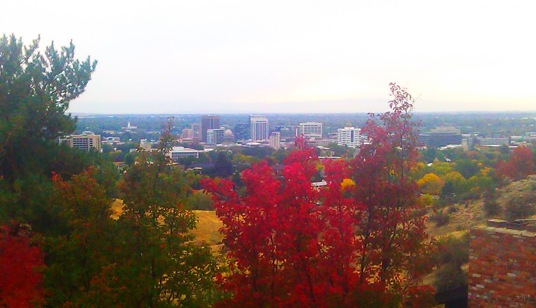
The winter inversion is a weather pattern in which a layer of warmer air settles above the Treasure Valley floor and traps colder, denser air — along with smoke, vehicle exhaust, and fog — close to the ground. It happens because Boise sits low in a valley ringed by mountains, and it matters because it can hold pollution and grey haze in place for days.
What is a temperature inversion, exactly?
Air normally cools with altitude, which lets it rise, mix, and disperse. An inversion flips that arrangement: a layer of warm air moves in above a pocket of cold air near the surface, and because warm air is less dense, it sits on top like a lid rather than rising through it. The cold air below has nowhere to go.
The National Weather Service’s Boise office tracks these setups as part of its routine forecasting for the Treasure Valley, and issues air stagnation advisories when conditions are expected to trap pollutants for an extended period.
Why does Boise get inversions in winter?
Boise sits at the bottom of the Treasure Valley, bounded by the foothills to the north and lower ranges to the south and west. That basin shape is exactly the kind of terrain that produces inversions: cold, dense air drains downhill overnight and pools on the valley floor, while high pressure overhead brings clear skies and calm winds that let a warmer layer settle above it.
The pattern is most common from late November through January, when nights are long, the sun angle is low, and high-pressure systems can park over the Intermountain West for a week or more without a storm to break them up. It is a regional phenomenon, not unique to Boise — the same basin geography affects much of the Treasure Valley, including Garden City and the low-lying stretches west toward Meridian.
What does an inversion do to air quality?
It concentrates pollution that would otherwise disperse. Vehicle exhaust, wood smoke, and industrial emissions get released into the trapped layer of cold air and have no way to rise and mix out. Over several stagnant days, particulate levels build up rather than clearing.
The Idaho Department of Environmental Quality (DEQ) monitors particulate levels in the Treasure Valley and publishes air quality data and advisories on its own site, including guidance during periods it classifies as unhealthy for sensitive groups. The U.S. EPA’s AirNow service provides a real-time national index that covers the same monitoring stations. Readers concerned about air quality on a given day — particularly anyone with respiratory conditions — should check current readings directly through DEQ or AirNow rather than relying on how the sky looks from the ground.


How long does an inversion last, and how would you know one is happening?
Visually, an inversion looks like a flat grey ceiling sitting over the city — often with a hard, visible edge partway up the foothills, above which the sky is clear and sunny. Fog can form and persist for days without lifting, since the usual daytime mixing that burns it off doesn’t happen. Temperatures at the surface can stay colder than forecasts for the wider region would suggest, because the cold air is sealed in rather than escaping.
These episodes typically end the same way they arrive: a storm system or a strong wind event moves through, breaks up the high pressure, and flushes the trapped air out. There’s no fixed duration — some inversions clear in a day, others hold for over a week. The Access Boise guide to what a Boise winter is actually like covers how this fits into the season more broadly, including the temperature swings and snow patterns that surround it.
Does it affect driving in the valley?
Indirectly, yes. Persistent fog reduces visibility on valley roads and interstates, and the same stagnant, cold conditions that hold pollution in place tend to hold black ice and frost on shaded roadways longer into the day. The mechanics of that — what changes on Boise streets and highways once temperatures drop — are covered in the Access Boise guide to how winter affects driving in Boise.
Why does elevation matter so much during an inversion?
Because the inversion traps cold air specifically in the low-lying valley, elevation changes the experience dramatically over a short distance. Climb even a few hundred feet into the foothills and it’s common to break out of the grey layer entirely into clear, sunlit air — a contrast the National Weather Service describes as typical of valley inversions generally, where higher terrain can sit above the haze while the valley floor stays socked in.
This is part of why the drive up to Bogus Basin can feel like leaving one climate for another during a stagnant winter stretch — the ski area sits well above the valley floor, above the typical inversion layer. Readers without a car can find the same escape route explained in the guide to getting from Boise to Bogus Basin without a car. Closer to town, high points such as Table Rock and the hillside letters above the city sit at an elevation where an inversion day can mean clear views down onto a solid grey blanket covering downtown.
Does the inversion change how the city operates?
It doesn’t shut anything down, but it shapes daily decisions for people who live here. DEQ advisories during heavy inversion periods commonly include guidance on reducing wood burning, since residential wood smoke is one of the pollutant sources that gets trapped along with traffic exhaust. Schools and outdoor programs sometimes adjust activity guidance on days when air quality readings cross into unhealthy ranges for sensitive groups, following DEQ and EPA thresholds rather than a rule of thumb.
For anyone weighing whether to rely on a car during winter, the inversion is one more factor in the broader question addressed in the Access Boise guide on whether you need a car in Boise at all, alongside snow, ice, and the layout of the valley itself.
Does the inversion affect visitors differently than residents?
Mostly in what it does to photographs and views rather than in any practical obstacle. A visitor arriving during a multi-day inversion will find downtown grey, foothill views obscured, and long-range visibility poor — none of which stops museums, restaurants, or downtown streets from functioning normally. It does mean outdoor viewpoints and foothill hikes are less rewarding on those days, which is worth weighing for anyone planning a trip around scenery; the Access Boise guide to the best time of year to visit Boise addresses seasonal trade-offs like this one in more detail.
Residents tend to read the inversion the opposite way: as a known, temporary weather pattern rather than a defining feature of the city’s winter, and one that any drive up into the foothills or out toward Bogus Basin reliably breaks. The wider question of what living in the valley is actually like year-round, inversions included, is covered in the Access Boise guide to living in Boise, and general seasonal and transport planning sits in the practical guide to getting around and planning a visit.
Where to check current conditions
- The National Weather Service’s Boise forecast office issues air stagnation advisories and short-term forecasts covering the Treasure Valley.
- The Idaho Department of Environmental Quality publishes particulate monitoring data and health guidance for the valley on its own site.
- The EPA’s AirNow service provides a real-time air quality index using the same regional monitoring network.
None of these figures are fixed or seasonal averages worth repeating here — inversion severity varies year to year, and the only reliable read on any given day is the current one from these sources directly. For a broader look at how Boise’s geography and street layout interact with weather patterns like this one, see the guide to how Boise is laid out and which way its streets run, or browse the wider Planning & Practicalities archive for related seasonal detail.
Access Boise is an independent guide written from published, checkable sources. We have not visited the places described here and we do not publish personal recommendations or invented ‘local favourites’ — where something is singled out as notable, we say who says so. Opening times, fares, closures and prices change at short notice, so treat everything here as a starting point and confirm with the museum, operator or venue directly before building a day around it. We give no advice on visas, insurance, health or safety; use your own government’s official guidance for those.
Featured image: Photo by Lordchadwick79, source, CC BY-SA 3.0
