For a short downtown-and-North End trip, no — Boise’s core is compact enough to walk or cycle, and a paved river path connects several neighborhoods directly. For anything involving the foothills, the airport, or towns like Meridian and Eagle, a car or a planned transit trip becomes necessary, because Boise’s public transit network is real but limited in frequency and reach.
How is Boise laid out, and does that change the answer?
Boise sits on a grid anchored by the Boise River and the foothills to the north, with numbered streets running roughly north-south through downtown and named avenues crossing them. The city’s own layout — described in detail on how Boise is laid out and which way its streets run — means downtown, the North End, and the Depot Bench are all within a genuinely walkable distance of one another, often under two miles apart.
That compactness is the reason the car question has a real “no” in it for some visits. It is also why the answer changes fast once a trip extends past the flat central grid and up onto the bench or into the foothills.
Does downtown Boise work without a car?
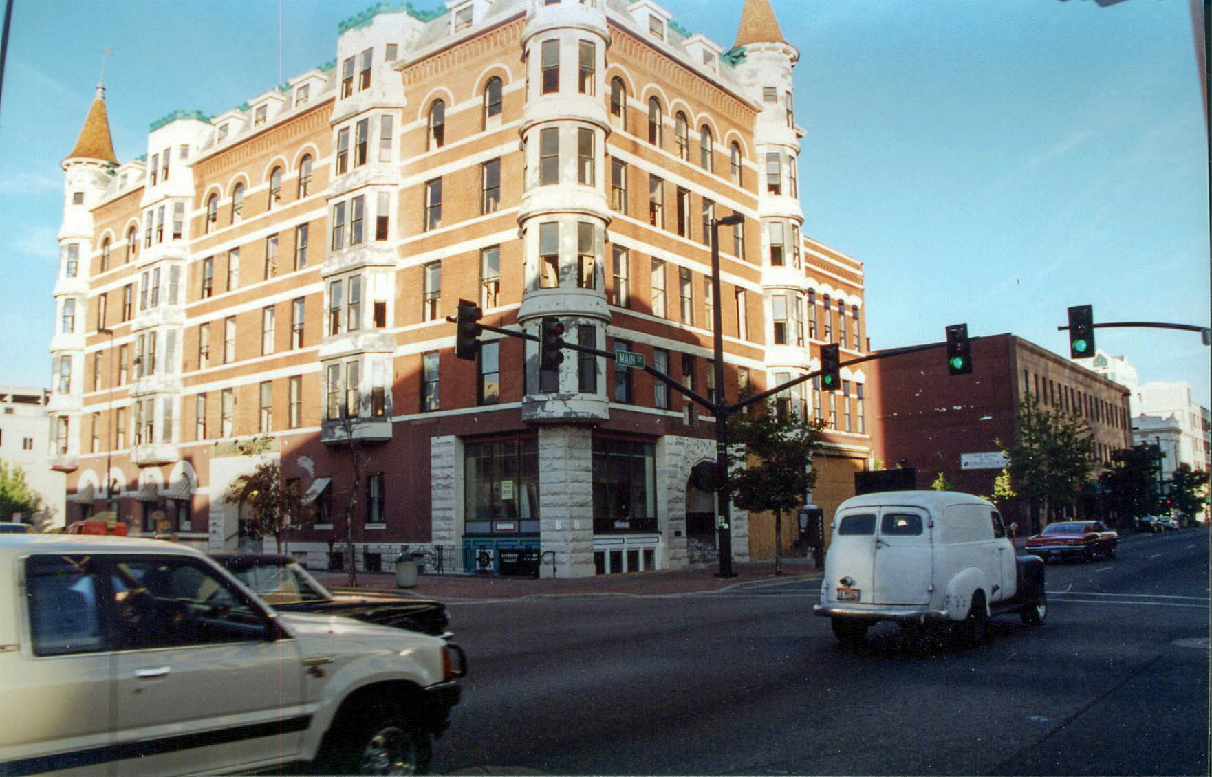
Downtown Boise, whose boundaries and function are covered in this guide to where downtown begins and ends, is dense enough for a car-free day: the Basque Block, the Grove Plaza, the state Capitol, and several museums sit within a ten-minute walk of each other. Hotels concentrated near 8th and Main put visitors close to most of downtown’s landmarks without needing to drive between them.
Museums cluster tightly here too. The Idaho State Museum, the Basque Museum & Cultural Center, and the Boise Art Museum are all walkable from a downtown base, and several institutions offer free admission windows — a pattern explained on the site’s own guide to which Boise museums are free, and when.
Is there public transit in Boise, and how does it actually work?
Yes — Valley Regional Transit (VRT) operates the Boise metro area’s bus network, including local routes within the city and connections to Meridian, Nampa, and other Treasure Valley communities. Service runs on a fixed-route model with a rechargeable fare card system rather than the frequent, short-interval transit found in larger metros.
The practical detail — routes, current fares, and schedules — changes over time, so VRT’s own site is the only reliable source for what a given trip will cost and how long it will take. What is durable is the shape of the system: it is bus-based, it radiates from downtown Boise, and frequency drops noticeably outside peak commuting hours. A trip that takes fifteen minutes by car can reasonably take three to four times as long by bus once a transfer is involved.
This matters differently for the two kinds of reader. A visitor staying downtown for a few days may never need VRT at all. A resident commuting from the Bench or West Boise into a downtown job is far more likely to weigh a bus pass against a car payment — and that calculation depends on VRT’s current published routes, not on anything fixed enough to print here.
Can you reach the foothills or Table Rock without driving?
Generally, no — not practically. Table Rock, described on the site’s own page about what Table Rock is and what sits on top of it, sits above the city on unpaved access roads with no transit service. The same is true of most trailheads managed under the city’s Ridge to Rivers program, which maintains the foothills trail network above Boise.
The Hillside Letters above the city — the subject of this page on what the hillside letters are — are visible from town but reached by the same foothills trail access, again without transit service. Anyone planning foothills time should treat a car, a bike with road access, or a ride-share as necessary, not optional.
.jpg)
What about the Greenbelt — does it replace a car for getting around?
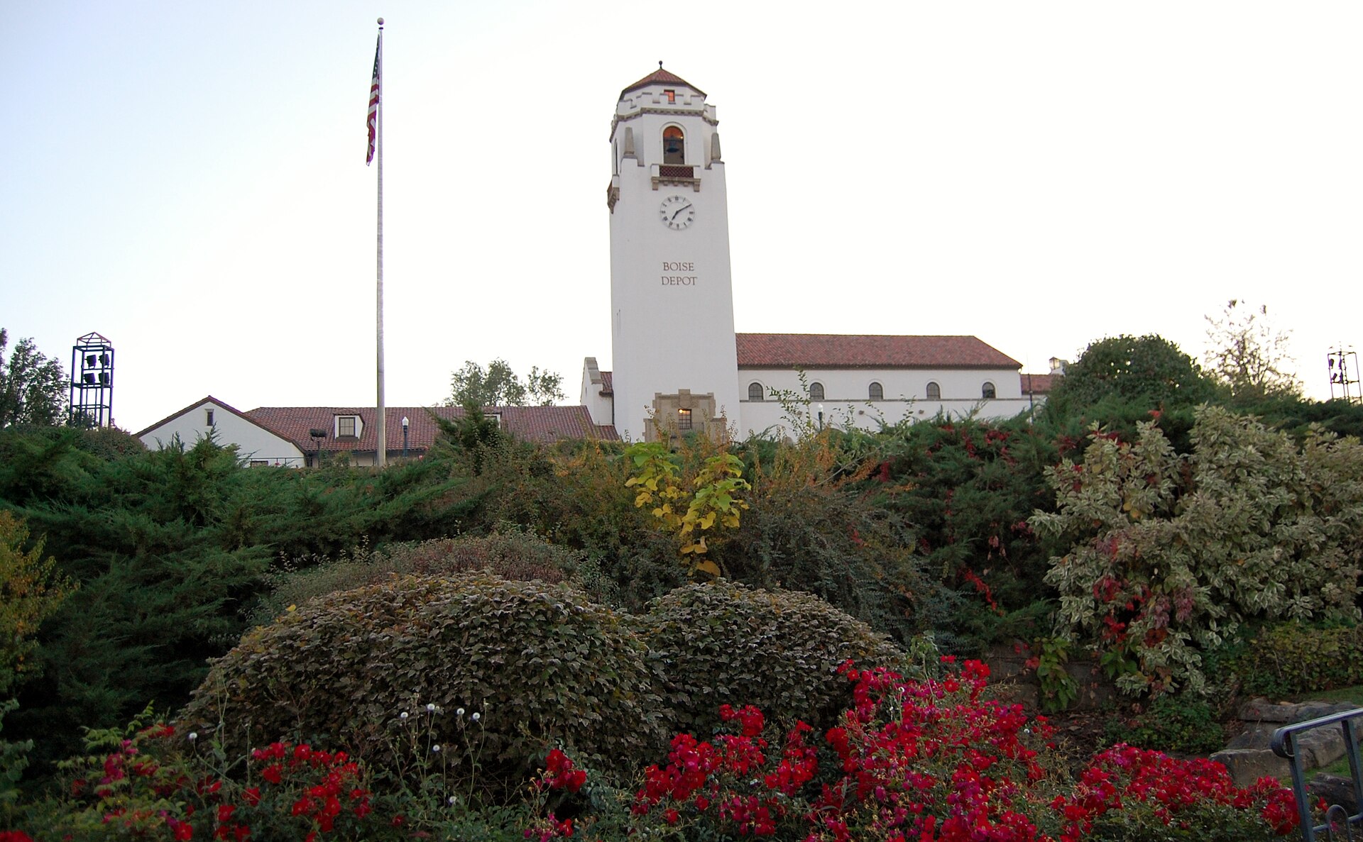
Partially, and mostly for cycling and walking rather than for carrying groceries or making appointments on a schedule. The Boise Greenbelt is a paved, multi-use path following the Boise River through the city, linking Boise State University, the Boise Depot area, Garden City, and several parks. It is a genuine transportation corridor for commuters on bicycles, not only a recreation path.
Where the Greenbelt is most useful for a car-free stay is in connecting attractions that are otherwise a longer walk apart — the Idaho Botanical Garden near the Old Idaho Penitentiary grounds, described on this page about the garden and penitentiary grounds, sits near a Greenbelt access point, as does the World Center for Birds of Prey further south along the river corridor.
Do the surrounding neighborhoods change the calculation?
Yes, considerably. Boise’s neighborhoods vary widely in how much they depend on a car, and the answer to “do you need one” is really a question about which part of the city is meant.
- The North End and Hyde Park, covered in this history of the North End and this guide to Hyde Park, are walkable, tree-lined grid neighborhoods close to downtown.
- The Boise Bench, explained in what the Bench is and why it’s called that, sits on an elevated terrace above downtown and is more car-dependent, with steeper connecting streets and fewer direct bus routes.
- Garden City, a separate incorporated municipality discussed in this explainer on why Garden City is its own city, is reachable via the Greenbelt but functions largely as a car-oriented commercial strip along the river.
The broader pattern of Boise’s districts, and how each one actually functions day to day, is laid out across the neighbourhoods archive.
What about getting to Boise from the airport, or to Meridian and Eagle?
Boise Airport (Boise Air Terminal, operated by the City of Boise) sits south of downtown and is not served by a rail link; ground transportation is by car, ride-share, or a limited VRT connection, and the airport’s own site is the authoritative source for current shuttle and transit options.
Meridian and Eagle are separate incorporated cities in the same valley, not districts of Boise itself — a distinction covered in this explainer on the difference between Boise, Meridian and Eagle. Getting between them and Boise by transit is possible on VRT’s regional routes but is slower and less frequent than driving; most residents who regularly move between the three cities do so by car.
So, honestly — do you need a car in Boise?
For a downtown-centered visit focused on museums, the Basque Block, and the Greenbelt, no. For a visit or a life that includes the foothills, the airport, surrounding cities, or a job outside the compact grid, yes — and the gap between those two situations is wider in Boise than in cities with denser transit.
The most honest planning approach is to decide which Boise a trip or a move actually involves. The site’s practical planning hub covers getting around in more detail, and the living in Boise hub addresses the resident’s version of this question — commuting patterns, seasonal driving conditions, and how far a household typically ends up from a car regardless of downtown’s walkability. For a fuller sense of what the city holds beyond transportation, the Boise guide hub and the parks and foothills archive are the better starting points.
Access Boise is an independent guide written from published, checkable sources. We have not visited the places described here and we do not publish personal recommendations or invented ‘local favourites’ — where something is singled out as notable, we say who says so. Opening times, fares, closures and prices change at short notice, so treat everything here as a starting point and confirm with the museum, operator or venue directly before building a day around it. We give no advice on visas, insurance, health or safety; use your own government’s official guidance for those.
Featured image: Photo by David Wilson from Oak Park, Illinois, USA, source, CC BY 2.0
.jpg)