Plan a Boise day during the inversion by checking the air quality reading before you leave, then choosing between two strategies: stay low and go indoors to museums, the Capitol, and covered attractions, or go up — Bogus Basin and the upper foothills sit above the inversion layer on many days and can be genuinely clear. Skip strenuous outdoor exercise at valley elevation until the reading improves.
What is the inversion, and why does it change how a day works?
Boise’s winter inversion happens when a layer of cold, dense air gets trapped in the valley under a layer of warmer air above it, so pollutants, wood smoke and vehicle exhaust have nowhere to disperse. Access Boise’s own explainer on what Boise’s winter inversion is and why it matters covers the mechanics in full. The practical effect for a day plan is simple: air quality at street level can be markedly worse than the air a few hundred feet higher, and the difference is often visible as a gray-brown lid sitting over the valley while the foothills above it sit in sun.
This is a cold-season phenomenon, distinct from the wildfire smoke that settles into the valley in late summer. That pattern is covered separately in the site’s piece on Boise’s smoke season, and it’s worth not conflating the two — different cause, different months, similar visual effect.
How do you check whether it’s actually happening before you plan?
Check a current air quality index reading rather than looking out the window and guessing. The EPA’s AirNow site and the Idaho Department of Environmental Quality both publish real-time monitoring for the Treasure Valley, and a reading in the “moderate” or worse categories is the practical signal to adjust the day rather than push through it.
An inversion can sit over the valley for days at a stretch in December and January, then clear with a wind event or a storm front. There is no fixed calendar for it the way there is for the Western Idaho Fair or Jaialdi — it is a weather pattern, not a scheduled event, so the only reliable check is the reading on the day itself.
Does going up actually get you above it?
Often, yes. Because the inversion is a layer trapped by elevation and temperature, gaining several hundred feet of elevation can put a visitor above the haze entirely. Bogus Basin, the ski area above the city, sits well above the valley floor, and its own site and the city’s Ridge to Rivers foothills trail program both describe the upper trail network and ski area terrain as sitting above typical valley-floor conditions. Access Boise’s guide to the road up to Bogus Basin and what it’s like covers the route itself, and getting there without a car is a separate, useful question for anyone without their own vehicle.
This isn’t a guarantee — a deep or unusually thick inversion can extend higher than usual — but on an ordinary inversion day, gaining elevation is the single most effective lever a visitor or resident has.
What indoor options actually make sense on a gray day?
Boise’s downtown museum cluster works well precisely because it doesn’t depend on the weather. The Idaho State Museum, the Boise Art Museum, the Basque Museum & Cultural Center, and the Discovery Center of Idaho are all indoor, standalone institutions rather than open-air sites, and several offer free admission on a recurring basis — Access Boise’s roundup of which Boise museums are free, and when lays out the pattern rather than a fixed date, since free-day schedules are set and changed by the institutions themselves.
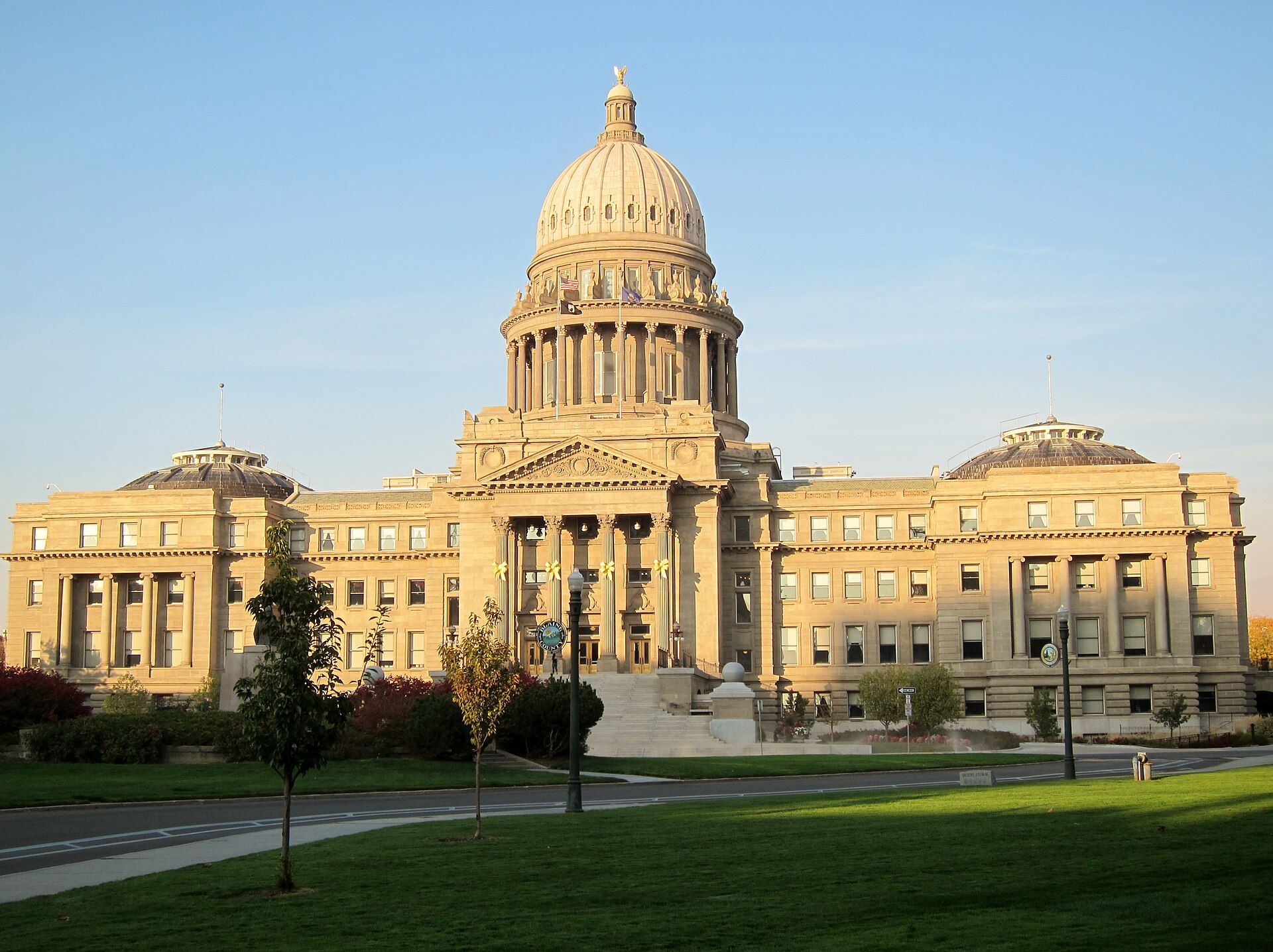
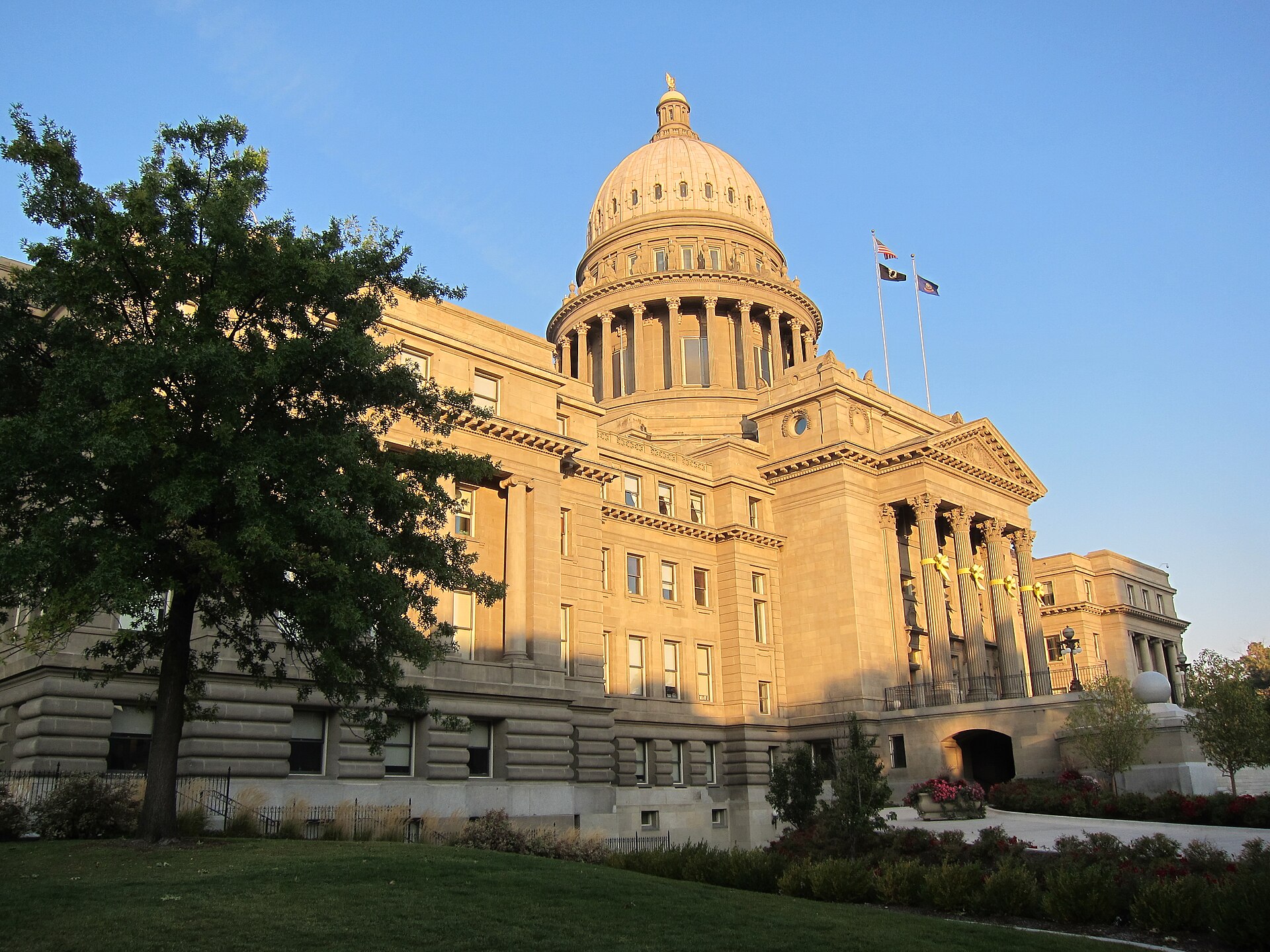
The Idaho State Capitol is a related option and has its own built-in logic for a cold day: the building and much of downtown Boise are heated by the city’s geothermal system, piping naturally hot water from underground straight into building heating loops rather than burning fuel for it. Access Boise covers this in how the Capitol is geothermally heated and, more broadly, in how Boise’s geothermal system works and what it heats — a genuinely distinctive piece of city infrastructure, not a curiosity.
.jpg)
None of this requires driving between stops. Downtown’s museum row, the Capitol, and the Basque Block sit close enough together to walk, which matters more than usual on an inversion day when idling in traffic adds to the exact air quality problem being avoided. Access Boise’s guide to which parts of Boise are walkable covers downtown specifically.
How does the inversion change getting around the city?
Cold, stagnant air sitting over the valley often comes with icy patches on shaded streets and reduced visibility in the thicker mornings, so the practical driving concerns are separate from the air quality concerns but happen at the same time of year. Access Boise’s piece on how winter affects driving in Boise covers road conditions directly.
Valley Regional Transit’s bus network is a reasonable way to move between downtown sites without adding another vehicle to the inversion, and the operator’s own site is the place to confirm current routes and schedules — Access Boise’s overview of what Valley Regional Transit is and where the bus goes explains how the system is structured. For anyone weighing whether a car is worth renting for a winter visit at all, do you need a car in Boise, honestly addresses that directly.
Does the inversion matter differently to a visitor than to a resident?
A visitor on a short trip can often simply reroute around a bad-air day — pick the museum day instead of the hiking day, or vice versa, and lose little. A resident doesn’t get to pick their week that way, which is why locals plan around it structurally: checking the reading each morning through December and January, keeping strenuous outdoor exercise for clearer days, and treating a run up to Bogus Basin or the upper foothills trails as the reset rather than the exception. Access Boise’s broader look at what a Boise winter is actually like covers this seasonal rhythm in more detail, and the Living in Boise hub covers how residents structure a year around the valley’s weather patterns generally.
What about outdoor exercise specifically?
The instinct to push through a run or a ride at valley elevation on a bad-air day is the one worth resisting; particulate levels during a deep inversion can be high enough that the Idaho DEQ and EPA guidance both point toward reducing exertion outdoors rather than working around it. This is a straightforward case where checking the day’s reading first changes the plan more than any local knowledge does. On a clear or moderate day, the Boise River Greenbelt and lower foothills trail network function normally, and Access Boise’s guide to how good cycling is in Boise and the Parks & Foothills archive cover those options for the days the air actually cooperates.
Putting a day together
A workable inversion-day plan has three moving parts: a morning check of the air quality reading, a decision between going up (Bogus Basin, upper foothills trails) or staying low and indoors (the museum cluster, the Capitol, the Basque Block), and a transport choice — walking or the bus downtown — that doesn’t add exhaust to a valley already struggling to clear it. None of this requires guessing; the readings, the elevation data and the transit schedules are all published by the relevant operators and agencies, and confirming them same-day is the only genuinely reliable part of the plan. For itinerary structures across other seasons, the Itineraries & Day Plans archive and the Boise Practical hub cover how a day or a longer stay is typically built around the city’s specific weather patterns, of which the inversion is one of the more distinctive.
Access Boise is an independent guide written from published, checkable sources. We have not visited the places described here and we do not publish personal recommendations or invented ‘local favourites’ — where something is singled out as notable, we say who says so. Opening times, fares, closures and prices change at short notice, so treat everything here as a starting point and confirm with the museum, operator or venue directly before building a day around it. We give no advice on visas, insurance, health or safety; use your own government’s official guidance for those.
Featured image: Photo by Roman Eugeniusz, source, CC BY-SA 3.0
.jpg)