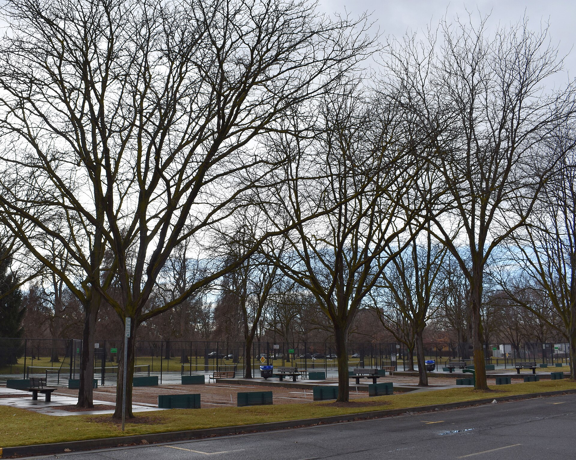
Ridge to Rivers is the name of the trail network that covers the foothills directly north of Boise, and it is also the name of the interagency programme that manages it. The system links trailheads across the city’s edge to a shared network of dirt paths used for hiking, running and mountain biking, maintained jointly by several public landowners rather than a single park department.
What exactly is Ridge to Rivers?
Ridge to Rivers is a cooperative trail management programme, not a single park or a single trail. According to the programme’s own site, it coordinates trail planning, construction and maintenance across land owned by the City of Boise, Ada County, the Idaho Department of Fish and Game, the Bureau of Land Management, the U.S. Forest Service, Boise State University and private landowners who have granted public access. The name describes the geography: the trails run from the ridgeline of the foothills down to the Boise River corridor below.
The programme is administered through Boise Parks and Recreation, and its website functions as the closest thing to an official map and rulebook for the whole network. Because ownership of the land is fragmented — a single trail can cross city, county and federal parcels within a mile — the programme exists specifically to make maintenance and signage consistent regardless of who technically owns the ground underfoot.
How many miles of trail does the system actually cover?
The Ridge to Rivers programme states the network includes well over 190 miles of trail, spread across dozens of named trailheads on the north side of the city. That figure changes slightly as new connector trails are added or rerouted, so the programme’s own current trail counts and maps, published on its website, are the reliable source rather than any fixed number repeated elsewhere.
The trails are not evenly spaced along a single corridor. They form a mesh across the foothills, with some sections close to established neighborhoods and others reaching several miles into open rangeland and forest as the elevation climbs toward Bogus Basin.
Where does the system begin and end?
There is no single starting point. Ridge to Rivers trailheads are scattered along the base of the foothills from the western edge of the city near West Boise to the eastern foothills above the North End and East End neighborhoods, with additional trailheads reached from Hidden Springs and other communities to the north.
Several of the network’s better-known entry points sit close to city parks. Camel’s Back Park is one documented example — a city park that also functions as a foothills trailhead, where paved park paths give way to dirt singletrack climbing into the hills. From there, trails connect toward Hulls Gully, Hillside to Hollow, and eventually toward higher ground near Table Rock, one of the most recognisable landforms above the city.
What kind of trails are these — walking, running, or biking?
Most Ridge to Rivers trails are shared-use dirt paths open to hikers, trail runners and mountain bikers, with equestrian use permitted on some corridors. The programme publishes trail-by-trail designations because not every trail allows every use; some are foot traffic only, and some are marked as directional (one-way) for bikes during busy periods to reduce head-on conflicts on narrow singletrack.
Boise’s foothills terrain is dry, sagebrush-steppe rangeland rather than forested mountainside for much of its lower elevation, with juniper and open grassland giving way to denser vegetation and pine only at higher elevations near Bogus Basin. That climate shapes how the trails behave underfoot, which is the reason seasonal closures matter as much as they do.
.jpg)
Why do foothills trails close in wet weather?
Ridge to Rivers trails are subject to seasonal and weather-triggered closures because the region’s clay-heavy soils turn to mud after rain or snowmelt, and travel on saturated trails causes long-term erosion and rutting. The programme’s own site publishes a real-time trail status map during the wet months, generally late fall through early spring, showing which trails are open, closed, or closed to specific uses such as biking.
This is one of the more practical things a resident or a repeat visitor needs to know: the trails are not consistently open year-round in the way a paved greenbelt path is. Checking the current status on the Ridge to Rivers site before heading up, rather than assuming access, is standard local practice.
How do people in Boise actually use these trails day to day?
For residents, Ridge to Rivers functions less like a destination and more like infrastructure — a network reached directly from several neighborhoods without driving, used for regular exercise, dog walking and commuting by bike in some cases. Trailheads near the North End and Boise Bench put dirt trail access within a short walk or ride of houses, which is unusual for a city of Boise’s size.
The network also connects, at its lower end, to the paved Boise River Greenbelt, so it is possible to move from a riverside path onto foothills singletrack without a car in between. That link is part of what makes the foothills feel functionally attached to the city rather than separate from it, a point covered in more detail in guides to cycling in Boise and to getting from Boise to Bogus Basin without a car.
What should a first-time visitor understand before using the trails?
A visitor unfamiliar with the system should treat it as a working trail network with real rules — designated directions, seasonal closures, shared use with cyclists and, in places, horses — rather than a single scenic walk. The Ridge to Rivers site’s own trail maps and etiquette guidance are the most reliable starting point, since trailhead signage varies and cell coverage in parts of the foothills is inconsistent.
Elevation gain, sun exposure and dry air are also worth planning around, particularly in summer; the foothills sit measurably higher and drier than the valley floor, a distinction covered in the site’s explanation of Boise’s elevation and dry air. Wildfire smoke can also affect foothills visibility and air quality in late summer, discussed further in the guide to Boise’s smoke season.
How does Ridge to Rivers fit into the wider Boise outdoors picture?
Ridge to Rivers is the foothills counterpart to the flatter, paved Greenbelt along the river — together they represent the two dominant outdoor systems most residents actually use on a weekly basis. Where the Greenbelt is linear and paved, Ridge to Rivers is a dispersed dirt network shaped by terrain, ownership and season.
Both systems are covered in more depth in the site’s broader Parks & Foothills coverage, and the practicalities of reaching either without a car are addressed in the Getting Around category. Readers assembling a full day around the foothills, rather than a single trail, may also find the general planning guidance in Boise Practical useful for sequencing a foothills outing against the rest of a Boise itinerary.
Access Boise is an independent guide written from published, checkable sources. We have not visited the places described here and we do not publish personal recommendations or invented ‘local favourites’ — where something is singled out as notable, we say who says so. Opening times, fares, closures and prices change at short notice, so treat everything here as a starting point and confirm with the museum, operator or venue directly before building a day around it. We give no advice on visas, insurance, health or safety; use your own government’s official guidance for those.
Featured image: Photo by Tamanoeconomico, source, CC BY-SA 4.0
.jpg)