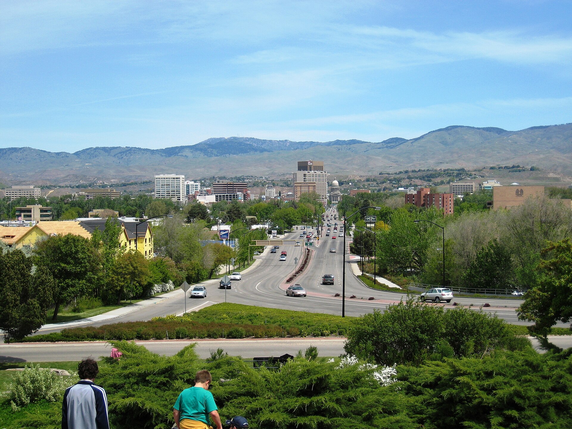
Boise is small enough that its core neighborhoods sit within two or three miles of each other, but the metro area sprawls much further — Meridian, Eagle, Garden City and Nampa each add ten to twenty minutes of driving. Downtown to the foothills is a five-minute drive. Downtown to Bogus Basin is closer to forty-five.
That contrast — a walkable center wrapped in a car-dependent valley — is the single fact that explains most confusion visitors and even newer residents have about getting around. The following breaks down the distances that actually matter.
How big is Boise’s core, in practical terms?
Downtown Boise, as defined by the city’s own planning boundaries, runs roughly from the Boise River north to the edge of the North End, and from around 9th Street east to Capitol Boulevard’s corridor. Within that footprint, most landmarks are a ten- to fifteen-minute walk apart.
The Idaho State Capitol, the Basque Block, Boise City Hall Plaza, and the Grove Plaza all sit within a few blocks of one another. Walking from the Capitol to the Boise River is under a mile. This compactness is why guides to the city’s downtown boundaries and its walkable neighborhoods tend to describe downtown as a single unit rather than a set of scattered stops.
Beyond that core, distances stretch quickly. The North End, the Boise Bench, and the East End are each their own established districts, typically a mile or two from downtown’s edge — close enough to bike, far enough that most residents drive at least part of the year.
How far is downtown from the foothills and Bogus Basin?
The foothills themselves start almost immediately north of the North End — a matter of blocks, not miles. Bogus Basin, the ski area above the city, is a different scale of distance: roughly sixteen miles up Bogus Basin Road from downtown.
Drive time is typically quoted as forty-five minutes to an hour, depending on conditions, and the road itself is a two-lane mountain route with switchbacks. The details of that climb — grade, winter conditions, pullouts — are covered in the site’s guide to what the Bogus Basin road is actually like. For anyone without a vehicle, there is a separate practical question of shuttle or seasonal transit options, addressed in the guide to reaching Bogus Basin without a car.
Table Rock and the hillside letters above the city are a shorter trip — a matter of a few miles from downtown — and sit at a scale closer to a city park than a mountain destination.
How far is the airport from downtown?
Boise Airport sits south of downtown, and the drive is commonly cited at around fifteen minutes without traffic — short enough that it functions more like a large regional airport than a distant international hub. Fares, shuttle options, and the exact road route are covered in the dedicated guide to getting from Boise Airport into town; current taxi and rideshare figures should always be checked against the airport’s own site, since prices change.
The comparatively short airport-to-downtown distance is one of the reasons Boise is often framed by regional boosters as an easy-in, easy-out capital — a claim worth attributing to the airport’s own materials and the city’s tourism arm rather than repeating as received wisdom.
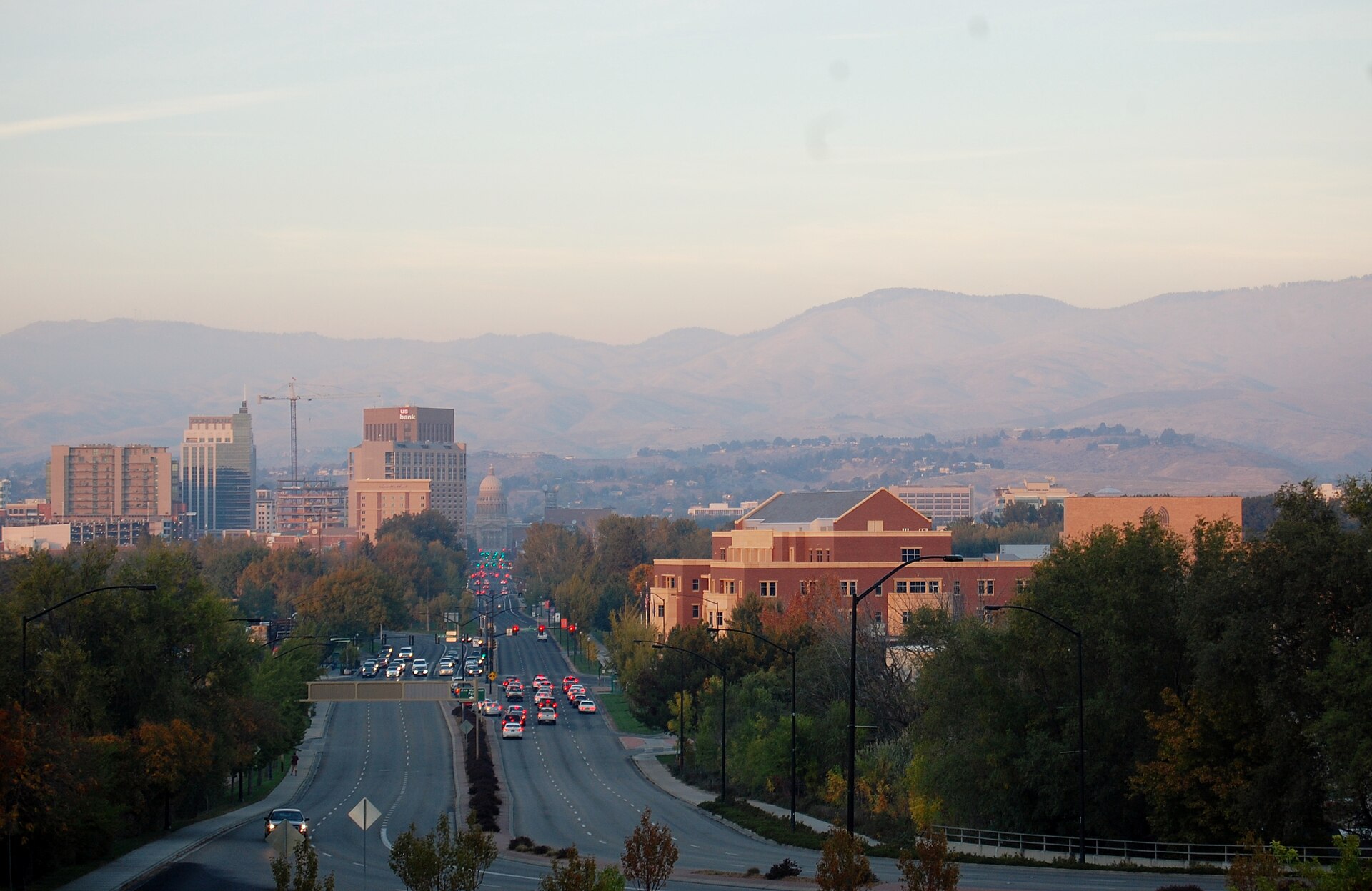
.jpg)
How far apart are the surrounding cities — Meridian, Eagle, Garden City, Nampa?
Boise does not stand alone; it’s the anchor of a valley that includes several legally separate cities, and the distances between them are a genuine planning consideration, not trivia.
- Garden City is a separate incorporated city that borders Boise directly along the river — in places, the boundary runs down the middle of a street. The reasons it stayed independent are covered in the guide to Garden City as a separate municipality.
- Meridian sits roughly ten miles west of downtown Boise, a fifteen- to twenty-minute drive depending on traffic on the connecting arterials.
- Eagle is northwest of Boise, a comparable distance to Meridian, and increasingly linked to it by continuous suburban development.
- Nampa, further west again, is closer to twenty miles from downtown Boise — the outer edge of what most residents consider a single commute.
The practical differences between these places — incorporation, downtown character, how far each actually sits from Boise proper — are broken down in the guide to the difference between Boise, Meridian and Eagle.
Does Boise’s grid make distances easy to judge?
Largely, yes. Boise’s street grid runs close to true north-south and east-west downtown, with numbered streets running one direction and named avenues the other — a layout explained in detail in the guide to how Boise is laid out and which way its streets run.
Because the grid is regular, block counts translate fairly reliably into walking time downtown — roughly a dozen blocks to the mile in most directions. That predictability breaks down once a route leaves the urban core: the Bench sits on a literal geological terrace above the river valley, reached by a small number of connector streets, and outlying districts like Harris Ranch or West Boise were built on suburban curvilinear patterns rather than the historic grid.
The Connector — Interstate 184 — was built specifically to shorten the distance between downtown and the interstate system to the west, and its abrupt ending is a frequent point of confusion covered in the piece on why the Connector ends where it does.
How far is too far to walk or bike?
For most visitors and many residents, downtown, the North End, the East End, and the near Bench fall within a comfortable half-hour walk or a ten-minute bike ride of one another — distances covered in more depth in the guide to which parts of Boise actually work on foot.
The Boise River Greenbelt extends the practical range considerably. It runs roughly twenty-five miles along the river through the metro area, according to the city’s own parks program, and functions as both a recreational path and, for some commuters, a genuine transportation corridor — a use explored in the guide to using the Greenbelt to commute and in the broader assessment of how good cycling actually is in Boise.
Beyond about three or four miles, walking stops being realistic for most trips, and cycling depends heavily on season — a factor covered in the site’s winter driving and cycling guides.
What does this mean for someone without a car?
It means downtown, the near-in neighborhoods, and the Greenbelt corridor are genuinely usable without one; the wider valley is not, at least not easily. Valley Regional Transit operates the region’s bus network, connecting Boise to Meridian, Nampa, Eagle and other communities, though frequency and route coverage vary — details worth checking directly through the operator, summarized in the guide to what Valley Regional Transit covers and where the buses run.
The honest answer for most newcomers weighing whether to bring or buy a car is laid out plainly in the site’s guide to whether you need a car in Boise: for downtown living and short trips, no; for reaching the foothills, the ski hill, or the surrounding cities on any kind of schedule, yes.
So how far apart is everything, in one summary?
Downtown Boise is compact — a fifteen-minute walk end to end. The foothills are minutes away. Bogus Basin is closer to an hour by car. The airport is about fifteen minutes from downtown. Meridian and Eagle are ten to fifteen miles out; Nampa closer to twenty. Garden City is a separate city that borders Boise directly.
The pattern across all of it: Boise’s center behaves like a small city, and its valley behaves like a spread-out one, with the two connected mainly by car, occasionally by bus, and — for a specific set of trips along the river — by bicycle. For a broader sense of how these pieces fit into daily life rather than a single visit, the hub on what it’s actually like to live in Boise and the practical planning hub at getting around, planning and the foothills cover the rest.
Access Boise is an independent guide written from published, checkable sources. We have not visited the places described here and we do not publish personal recommendations or invented ‘local favourites’ — where something is singled out as notable, we say who says so. Opening times, fares, closures and prices change at short notice, so treat everything here as a starting point and confirm with the museum, operator or venue directly before building a day around it. We give no advice on visas, insurance, health or safety; use your own government’s official guidance for those.
Featured image: Photo by Kfengler, source, CC BY 3.0
