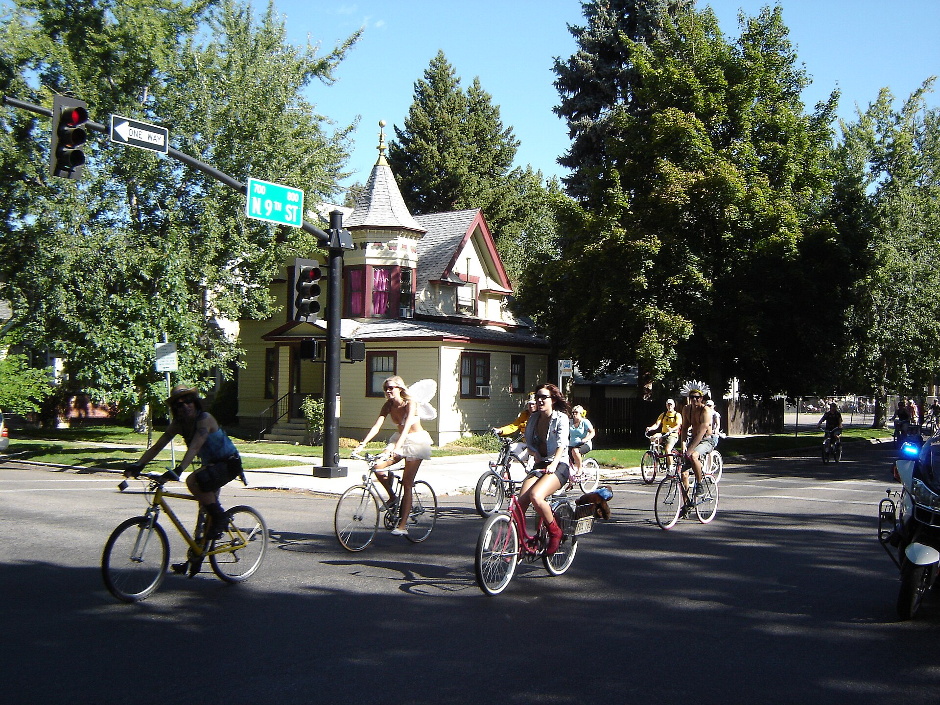
What is Southeast Boise like?
Southeast Boise is a largely residential district that follows the south bank of the Boise River east from Boise State University toward Barber Valley. It combines one of the city’s oldest streets, Warm Springs Avenue, with newer subdivisions further out, and it is threaded almost end to end by the Boise River Greenbelt. There is no single commercial core; the area functions as a corridor rather than a neighborhood center.
Where are the boundaries of Southeast Boise?
The city of Boise organizes its neighborhoods through a network of recognized neighborhood associations, and the Southeast Boise Neighborhood Association’s territory is generally described as beginning near Broadway Avenue, at the edge of downtown Boise and the East End, and extending east along the river toward the Barber Valley area. The Boise River forms much of its northern edge; the district blends into the Boise Bench to the south without a hard line.
This is a wide stretch of the city, and it is not uniform. The western section, near Boise State, is older and denser. The eastern section, toward Barber Valley, has been built out largely in the past two decades.
What is the Warm Springs Historic District?
Warm Springs Avenue is Southeast Boise’s most historically distinctive stretch. A portion of it is listed on the National Register of Historic Places as the Warm Springs Avenue Historic District, recognized for a run of large late-19th and early-20th-century houses built for some of Boise’s earlier prominent families.
The street’s name is literal. The Idaho State Historical Society’s records document that natural hot water piped from wells along the avenue supplied one of the country’s first municipal geothermal heating systems, beginning in the 1890s — technology the city still uses today in an expanded form to heat public and private buildings downtown, a subject covered in more detail in the article on the Idaho State Capitol’s geothermal heating.
How does Boise State University shape the area?
Boise State University’s campus sits along the river at the western edge of the district, forming a loose boundary between Southeast Boise and downtown. The campus brings two of the city’s larger public venues into the neighborhood’s orbit: Albertsons Stadium, home of the university’s blue playing surface, and the Morrison Center, the region’s main performing arts hall.
Game days and performance nights at either venue noticeably affect traffic and parking on the streets nearest campus, which are otherwise quiet residential blocks the rest of the week.
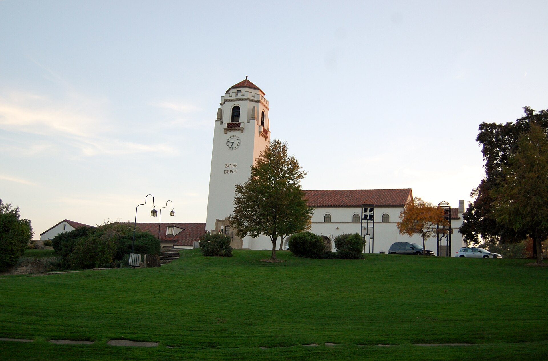

What recreation runs through Southeast Boise?
The Boise River Greenbelt, the paved multi-use path that follows the river for miles through the city, runs the length of the district and is the area’s defining piece of infrastructure. It connects Southeast Boise’s residential streets to Boise State, downtown, and the parks further west.
Two facilities along the corridor are worth naming specifically because they are the district’s genuine public draws rather than passing scenery:
- Barber Park, operated by Ada County, functions as the main put-in point for float trips down the Boise River — a popular warm-season activity that ends downstream near Ann Morrison Park.
- The MK Nature Center, run by the Idaho Department of Fish and Game, is a small streamside facility built to explain the Boise River watershed, with exhibits following actual creek water through simulated habitat.
Neither is a headline attraction on the scale of the city’s museums, but both are genuine public assets specific to this stretch of river, distinct from the city’s larger green spaces covered in the Parks & Foothills archive.
What is Bown Crossing?
Bown Crossing is the closest thing Southeast Boise has to a defined commercial center — a mixed-use development built around Bown Way, well east of the university, with shops and offices arranged around a walkable core. Its history and layout are covered separately in the article on what Bown Crossing is and where it sits.
What is Harris Ranch and Barber Valley?
Continuing east, Southeast Boise gives way to Harris Ranch and the broader Barber Valley, a master-planned area of newer housing built on former agricultural and mill land along the river. It represents the newest phase of growth in this part of the city and is treated in full in the guide to Harris Ranch and the Barber Valley.
What is it like to live in Southeast Boise?
Housing stock varies sharply by block. Near Warm Springs Avenue and the university, homes date largely to the early 20th century, on smaller lots with mature trees. Further east, toward Bown Crossing and Barber Valley, development is recent, with larger subdivisions, planned parks, and housing built to more contemporary standards.
The district falls within the Boise School District’s boundaries, and its schools, like the neighborhood itself, serve a mix of long-settled and newly arrived households. Commuting into downtown typically runs along Warm Springs Avenue, Boise Avenue, or ParkCenter Boulevard on the river’s north bank, and traffic on these corridors has grown heavier as Barber Valley has filled in.
The Greenbelt is the practical amenity residents cite most consistently in city planning discussions: it gives much of Southeast Boise a car-free route into downtown and to Boise State, which matters more here than in most outlying districts because the area has comparatively little commercial infrastructure of its own.
How do visitors typically encounter Southeast Boise?
Most visitors experience the district in passing rather than as a destination — walking or cycling the Greenbelt, attending an event at Boise State’s stadium or the Morrison Center, or launching a float trip from Barber Park. It is not a neighborhood built around visitor-facing businesses, and travelers looking for the concentration of museums, landmarks, and dining found closer to the center of the city are better served starting from the city’s core districts, covered in the Boise guide hub and the practical planning hub.
For a broader sense of how Southeast Boise fits alongside the city’s other residential districts — the North End, the Bench, the East End — the Neighbourhoods archive and the Living in Boise hub lay out the fuller pattern of how the city is actually organized.
Access Boise is an independent guide written from published, checkable sources. We have not visited the places described here and we do not publish personal recommendations or invented ‘local favourites’ — where something is singled out as notable, we say who says so. Opening times, fares, closures and prices change at short notice, so treat everything here as a starting point and confirm with the museum, operator or venue directly before building a day around it. We give no advice on visas, insurance, health or safety; use your own government’s official guidance for those.
Featured image: Photo by Chanilim714, source, CC BY-SA 3.0
