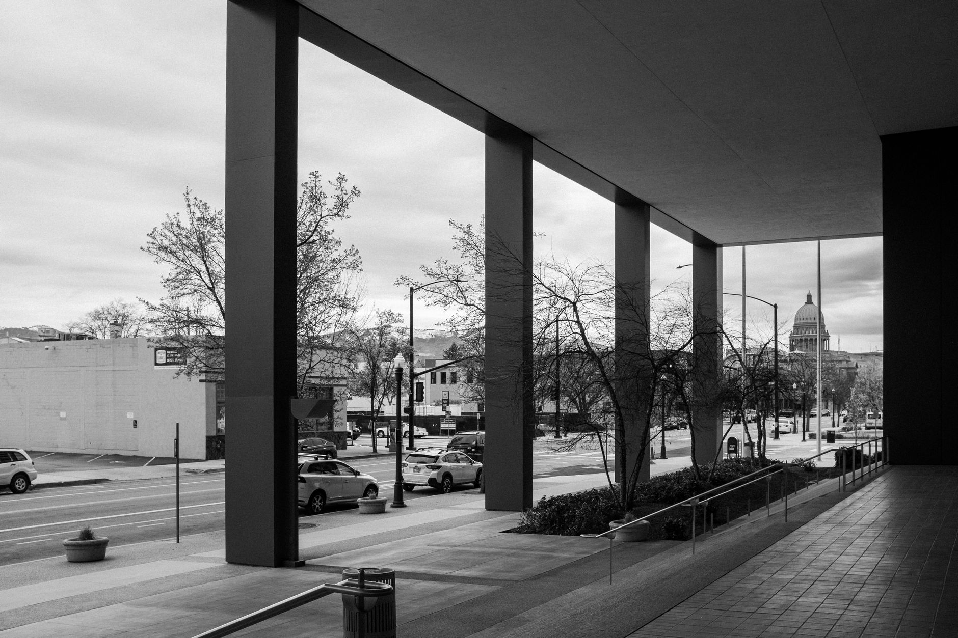
A weekend built around Boise’s mountains works because the mountains are close, not because there’s much of them to see from downtown. The foothills start at the city’s edge, a groomed trail network (Ridge to Rivers) climbs straight into them, and Bogus Basin — the local ski area — sits about 16 miles up a paved road. Two days is enough to do one real foothills outing and still see the city itself.
How close are the mountains, actually?
Closer than most visitors expect. Boise sits at the base of the Boise Front, the western edge of the Rocky Mountain foothills, and the built-up city stops abruptly where the hills start. The Ridge to Rivers trail system — a partnership between the city, Ada County, the Bureau of Land Management and the U.S. Forest Service — maintains roughly 190 miles of trail, much of it accessible on foot or bike within minutes of the North End or East End neighborhoods. That proximity is the whole reason a “mountain weekend” in Boise doesn’t require leaving the city limits for most of it.
Bogus Basin is a separate matter. It’s a genuine mountain — a ski area in winter, a lift-served bike and hiking area in summer — and it’s a drive, not a walk. The road up is a single paved route with switchbacks and no shoulder guardrail in places, and how you get there shapes the rest of the day. Access Boise covers the drive itself in detail at how to get to Bogus Basin, and what the road is like, and the no-car version at getting from Boise to Bogus Basin without a car.
What does day one look like?
Day one is the foothills day, timed around whatever the season allows. In summer, an early start matters — the foothills trails have little shade and Boise’s elevation and dry air (covered at Boise’s elevation and dry air) make midday heat and sun exposure more noticeable than the temperature alone suggests. In winter, the same trails may be icy, muddy, or closed to protect them; Ridge to Rivers posts trail status and asks users to stay off wet trails to prevent erosion, and its own site is the source to check before heading up.
A typical structure:
- Morning: a foothills trail from a North End or East End trailhead, or a drive up to Bogus Basin if the plan is a full mountain day rather than a city-edge hike.
- Midday: back into town for lunch and a break from sun or cold.
- Afternoon: something with a roof — a museum, the Idaho State Capitol, or a walk through downtown’s core.
Table Rock, a prominent mesa on the city’s east side with views over the Boise River valley, is one of the more direct foothills destinations and is covered on its own at what Table Rock is. The hillside letters visible from much of the valley — a Boise landmark in the literal sense — sit near Table Rock and are addressed at the hillside letters above Boise.

What does the drive to Bogus Basin actually involve?
Bogus Basin Road climbs roughly 16 miles from the edge of the city to the ski area base, gaining several thousand feet along the way. It’s paved and maintained but narrow in sections, and in winter it requires winter tires or chains under Idaho law during posted conditions — a detail covered generally at how winter affects driving in Boise and specifically for this road at the Bogus Basin page above. Bogus Basin Mountain Recreation Area’s own site is the authority on lift schedules, snow conditions, and summer trail and lift operation, and should be checked directly before a visit, since none of that is stable enough for a guide like this to publish as fact.
There is no year-round public transit line to Bogus Basin. Seasonal shuttle service has operated in past winters, run by the resort or partner organizations, but its existence, schedule and cost change by season and should be confirmed on the operator’s own site rather than assumed from an old listing.
What should day two make room for?
Day two is where a mountain-focused visitor typically discovers Boise has more going on than the foothills suggested. A second day works well split between a slower foothills or river-side morning and an afternoon in the city’s museum cluster or historic districts — the kind of split covered more generally at how to spend two days in Boise.
Two threads worth knowing about, both connected to the mountains without requiring a drive:
- The Idaho Botanical Garden occupies the grounds adjacent to the old penitentiary at the foot of the foothills, and is a straightforward stop for anyone who wants a formal garden setting rather than open trail. Access Boise covers it at the Idaho Botanical Garden on the old penitentiary grounds, alongside the penitentiary’s own history at the Old Idaho Penitentiary, which the Idaho State Historical Society operates as a historic site.
- The Boise River Greenbelt runs along the river through the city and connects several of these points without a car — a separate but related way to spend time outdoors that doesn’t require the elevation gain of the foothills. It’s covered at a Boise morning on the Greenbelt, and what comes after.
Do you need a car for a weekend like this?
For the foothills trailheads nearest downtown and the North End, no — many are within walking or biking distance of central Boise, and the city’s layout, described at how Boise is laid out, makes that distance easier to judge than it first appears. For Bogus Basin specifically, a car (or a confirmed seasonal shuttle) is close to essential; there is no regular fixed-route bus service up the mountain road. The broader question of whether a car is needed for a Boise visit generally, beyond this one trip, is addressed directly at do you need a car in Boise, honestly?
How does the season change this plan?
Season decides almost everything about a mountain-oriented weekend here. Winter turns Bogus Basin into a ski area and can put ice and closures on lower foothills trails at the same time; summer opens the mountain to lift-served biking and hiking but pushes valley temperatures high enough that an early start on foothills trails is the practical choice, a pattern covered at what a Boise summer is actually like. Spring and fall are typically the more comfortable windows for foothills hiking specifically, though wet trail closures are common in early spring. None of these patterns are guaranteed on any given weekend, so checking current conditions with Ridge to Rivers and Bogus Basin’s own sites before finalizing plans is the reliable approach rather than working from a general seasonal rule.
Where does this weekend fit into a longer visit?
A two-day visit built around the mountains covers the foothills, one mountain outing, and a compressed look at downtown. Visitors who add a third day typically use it for the museums or historic districts a mountain-focused weekend tends to skip — that trade-off is laid out at what a third day in Boise makes room for. For general orientation before building any of this out, the practical hub at planning, transport and itineraries in Boise and the wider guide at Boise’s museums, landmarks and neighborhoods cover the ground this article assumes.
Access Boise is an independent guide written from published, checkable sources. We have not visited the places described here and we do not publish personal recommendations or invented ‘local favourites’ — where something is singled out as notable, we say who says so. Opening times, fares, closures and prices change at short notice, so treat everything here as a starting point and confirm with the museum, operator or venue directly before building a day around it. We give no advice on visas, insurance, health or safety; use your own government’s official guidance for those.