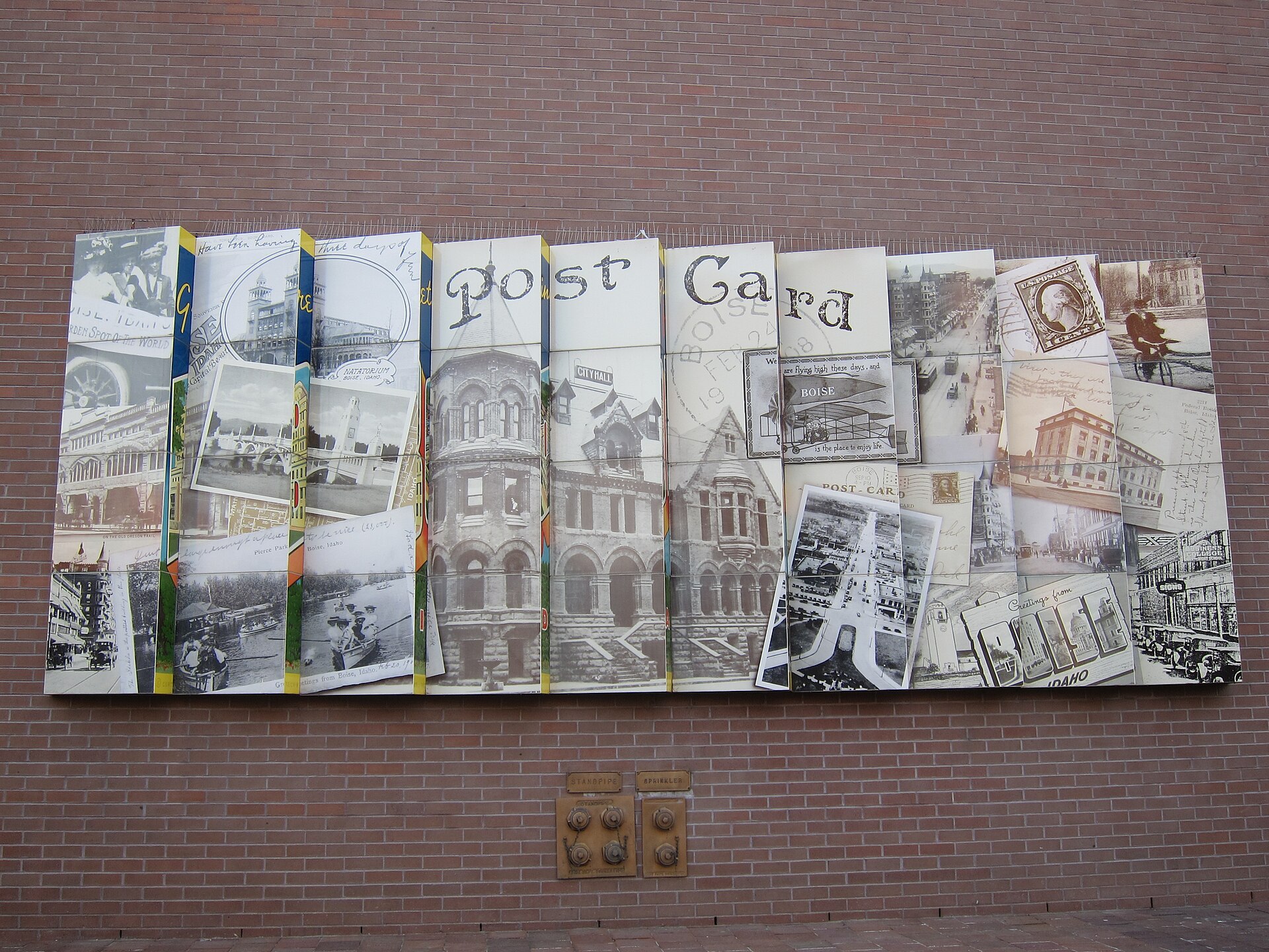
Cycling in Boise is good by American standards and unusually well-integrated into daily life: a paved riverside path connects most of the city end to end, a city-managed foothills trail network handles mountain biking a few minutes from downtown, and the League of American Bicyclists has recognized Boise as a Bicycle Friendly Community. It is not a Netherlands-style cycling city, but for a mid-sized American state capital, the bones are genuinely strong.
What is the Boise Greenbelt, and does it actually work for cycling?
The Boise River Greenbelt is a paved, multi-use path that runs along both banks of the Boise River through the city, linking parks, neighborhoods and the university campus. It functions as the spine of everyday cycling in Boise — used for commuting, exercise, and moving between districts without touching a car.
The path is shared with pedestrians and runners, which shapes its character: it is not a high-speed cycling corridor, and etiquette matters more than pace. A dedicated guide to commuting on the Greenbelt covers how far it realistically extends, where it connects to street-level bike routes, and where it has gaps that force cyclists onto surface streets.
Are there proper bike lanes in downtown Boise, or is it just the Greenbelt?
Downtown Boise has on-street bike infrastructure beyond the Greenbelt, including marked lanes on a number of arterial streets, though the network is uneven rather than continuous, which is typical of American cities that added cycling infrastructure incrementally rather than by starting from a grid plan built around it.
Understanding how a bike lane fits into the city’s layout is easier once the underlying street grid makes sense. Boise’s street-naming and directional logic is covered in a separate guide to how Boise is laid out, which is useful background before working out a cross-town cycling route.
Parking a car downtown, by contrast, involves metered zones and garages that a cyclist simply skips; how that system works is explained in a guide to downtown Boise parking, which is worth reading if only to see what cycling avoids.
What do official sources say about how bike-friendly Boise is?
The League of American Bicyclists, a national nonprofit that formally designates Bicycle Friendly Communities based on infrastructure, policy and ridership data submitted by cities, has included Boise among its list of recognized communities. The League’s own site carries the current designation level and the criteria behind it, and that is the authority to check for an up-to-date rating rather than any secondhand summary.
Separately, the city of Boise maintains its own transportation planning documents addressing bicycle infrastructure, which set out where new lanes, crossings and path connections are planned. These are public records, updated periodically, and the city’s own transportation and planning pages are the source to check for current status rather than any fixed claim here.
.jpg)
Is Boise good for mountain biking, not just road or path cycling?
Yes, and this is arguably the more distinctive part of the answer. Boise sits directly against the foothills, and a large, formally managed trail system called Ridge to Rivers runs through them, a partnership between the city, Ada County, the Bureau of Land Management and other public land managers. Ridge to Rivers publishes its own trail maps and rules on its site, including which trails are open to mountain bikes, which are hiker-only, and how direction-of-travel and seasonal closures work — closures matter here, since foothill trails are frequently shut after rain or snowmelt to prevent erosion, and the program’s own alerts are the way to check current status.
The foothills trailheads sit close to residential neighborhoods rather than requiring a long drive, which is part of why mountain biking functions as an everyday activity for residents rather than a special trip. Table Rock, one of the more visible foothill landmarks above the city, sits within reach of this same trail network, and the broader pattern of parks, trailheads and open space around Boise is tracked in the Parks & Foothills archive.
Do bikes fit into Boise’s public transit system?
Valley Regional Transit, the agency operating buses across the Boise metro area, is the relevant authority for how cycling and public transit connect — including bike racks on buses and any current bike-share or first/last-mile programs. Details of routes, schedules and any bike-related equipment should be checked on the agency’s own site, since these specifics change. A general orientation to how the bus network is structured, and where it goes, is covered in a guide to Valley Regional Transit’s routes.
Boise has at various points supported a downtown bike-share system; whether one is currently operating, and under what branding, should be confirmed on the city’s own transportation pages rather than assumed, since these programs have a history of starting, pausing and restructuring in mid-sized American cities.
Can cycling actually replace a car in Boise?
For some trips and some residents, yes; for a household’s entire transportation needs, less reliably, and this is a genuinely different question from whether cycling infrastructure is good. Boise is compact by American standards, with the Greenbelt and a growing bike lane network covering much of the flatter, denser part of the city, but the metro area sprawls into Meridian, Eagle and other suburbs where infrastructure thins out.
A direct assessment of this trade-off — what cycling and walking can plausibly cover, and where a car remains close to necessary — is worked through in a dedicated guide asking whether you need a car in Boise. The short version from that analysis: central neighborhoods can function largely without one; outlying suburbs generally cannot.
How does winter change cycling in Boise?
Boise’s winters are cold but generally drier and less snow-heavy than much of the Mountain West, and the Greenbelt and street network remain rideable for a meaningful part of the year, though ice and reduced daylight change both safety margins and volume of riders. Foothill trails close more frequently in winter and early spring due to mud, and Ridge to Rivers’ own status updates are the way to check which trails are open on a given day rather than assuming a fixed seasonal calendar.
Commuters who ride year-round in Boise are a real but smaller subset of the city’s cyclists; casual and recreational riding on the Greenbelt and in the foothills is heaviest from spring through fall, which is also when foothill trail closures for erosion control are least frequent.
What should a visitor without local knowledge understand before cycling here?
- The Greenbelt is shared with pedestrians and is not a place to expect road-cycling speeds.
- Foothill mountain biking trails are managed by Ridge to Rivers, with rules and closures published on its own site — not assumptions carried over from another city’s trail etiquette.
- Downtown bike lanes exist but are not continuous across the whole street grid; understanding the underlying grid, covered separately, makes route-planning easier.
- Any bike-share, transit bike-rack or rental program should be checked on the relevant operator’s own current listing rather than treated as fixed.
For a broader sense of how getting around Boise fits together — bikes, buses, parking and walking as one system rather than separate questions — the practical planning hub is the place to start, alongside the site’s wider Getting Around archive, which tracks how each part of the transportation picture actually functions.
Access Boise is an independent guide written from published, checkable sources. We have not visited the places described here and we do not publish personal recommendations or invented ‘local favourites’ — where something is singled out as notable, we say who says so. Opening times, fares, closures and prices change at short notice, so treat everything here as a starting point and confirm with the museum, operator or venue directly before building a day around it. We give no advice on visas, insurance, health or safety; use your own government’s official guidance for those.
Featured image: Photo by Roman Eugeniusz, source, CC BY-SA 3.0
.jpg)