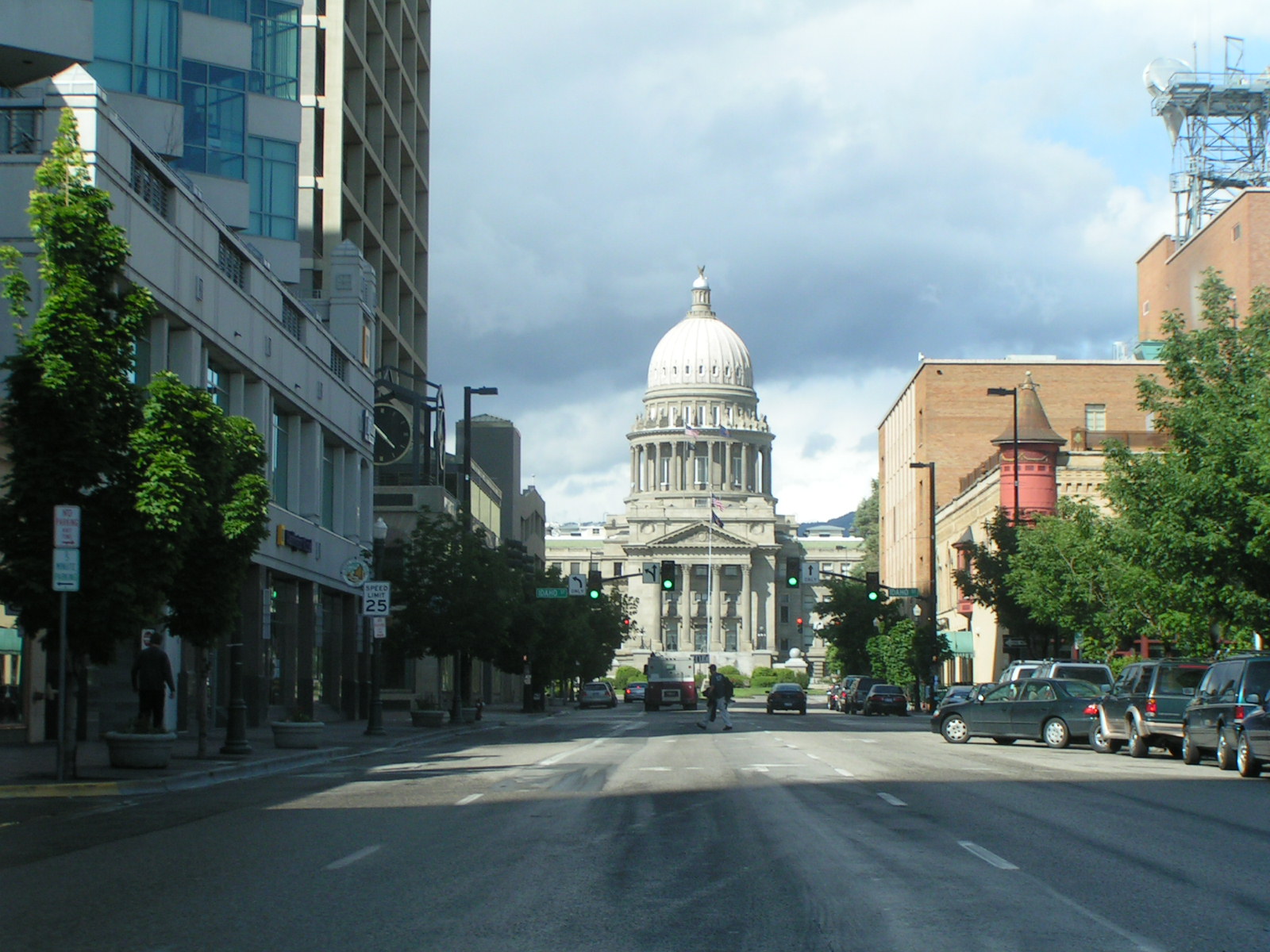
The hillside letter above Boise is a large “B” formed from whitewashed rock on the foothills east of downtown, near Table Rock. It is a school-identity marker rather than a monument or a wayfinding sign, and it belongs to a wider American tradition of hillside letters built by high schools and universities into hillsides above their towns.
What is the letter, and where is it?
It sits on the steep, exposed slope of the foothills that rise above Boise’s East End, in the same general area as Table Rock and the Old Idaho Penitentiary grounds. The letter is arranged from painted or whitewashed stones set directly into the hillside, a construction method used for this type of marker across the American West rather than anything unique to Boise.
Because the foothills here are largely bare rock and dry grassland rather than forest, a whitewashed letter reads clearly against the slope for most of the year, and it is visible from stretches of the city below, including parts of the Boise Bench and the East End. For general orientation to that stretch of foothills and what else sits on it, see the guide to what Table Rock is and what sits on top of it.
Whose letter is it, and why is it there?
The letter is generally identified with Boise High School, whose colors and identity it references. Placing a school initial on a hillside above town is a practice with a long history in American secondary and higher education, most visible in college towns of the Mountain West, where a single large letter functions as a piece of civic branding built into the landscape rather than a formal monument with public interpretation.
Unlike the buildings and museums covered elsewhere on this site, the letter has no operator, no visitor center, and no official plaque explaining its history. What is checkable about it is its physical presence on public or semi-public foothills land and its long-standing association with a local school, which is how it is generally described in local reporting and community accounts rather than through any state or federal historic designation.
How old is the tradition, and who maintains it?
Hillside letters of this kind are typically built by students and alumni and then repainted periodically, often timed to school events such as homecoming, rather than maintained on any fixed schedule by a city department or historical body. That pattern holds for hillside letters generally, and it means the letter’s exact condition and visibility can change from year to year depending on weather, erosion, and whether a repainting has recently taken place.
There is no city agency responsible for its upkeep in the way that, say, the Idaho State Capitol or a National Register building has a documented steward. Readers looking for that kind of formally documented civic landmark are better served by the landmarks and sights archive, which covers buildings and monuments with clear institutional ownership.

Can you hike up to it?
The letter sits within the broader network of foothills trails that the city of Boise manages under its Ridge to Rivers programme, a joint effort between the city, Ada County, the U.S. Forest Service, and other landholders to maintain public access across a foothills landscape that mixes city, county, state, and private land. There is no officially signed trail built specifically to reach the letter itself, and its slope is often steep, loose, and exposed.
Anyone planning to explore that part of the foothills should work from the Ridge to Rivers trail maps rather than treat the letter as a fixed destination, and should expect the same seasonal conditions — dry, exposed terrain with little shade — that apply across the rest of the foothills system. For a wider view of what the foothills trail network covers, see the parks and foothills archive.
What else is near the letter, on the same hillside?
The stretch of foothills carrying the letter is the same general area that holds Table Rock’s overlook and cross, and it sits above the grounds of the former territorial and state prison. That combination — a working-class civic marker, a scenic overlook, and a 19th-century penitentiary — makes the hillside one of the more layered pieces of Boise’s landscape, even though the letter itself has none of the formal documentation attached to its neighbors.
- The old prison complex itself is covered in the guide to the Old Idaho Penitentiary’s history and visiting hours.
- The garden built on part of the former prison grounds is described in the piece on the Idaho Botanical Garden and the Old Penitentiary grounds.
None of those institutions claims the letter as part of their own site, and their own materials should be treated as authoritative only for what they themselves manage.
How do most people actually see it?
Most views of the letter are incidental — from a car on Table Rock Road, from parts of the East End, or from vantage points elsewhere in the foothills — rather than the result of a dedicated visit. That matches how the letter functions locally: as a fixed, recognizable mark on the landscape that residents register in passing rather than a site with its own visitor experience.
For residents, the letter is one of many small, unofficial landmarks that orient a person within the city without needing an address — useful shorthand (“below the B,” “past Table Rock”) more than a place anyone specifically travels to. That kind of local, functional landmark is exactly the sort of detail covered in the guide to what it is actually like to live in Boise, which looks at how residents navigate the city day to day rather than how it is marketed to visitors.
Is it worth building a visit around?
Not as a standalone destination. It has no visitor infrastructure, no official interpretation, and no formal designation, and treating it as a must-see risks disappointment given how little the site itself offers beyond its visibility from a distance. It is better understood as one detail within a foothills landscape that also holds Table Rock, the Old Penitentiary, and the wider Ridge to Rivers trail system.
Readers planning time in that part of the city are better served by building a visit around those documented sites and treating the letter as a landmark to notice along the way. General planning around Boise’s landmarks, museums, and foothills is covered in the practical guide to getting around and planning a visit and in the broader guide to Boise’s museums, landmarks, and neighborhoods.
Access Boise is an independent guide written from published, checkable sources. We have not visited the places described here and we do not publish personal recommendations or invented ‘local favourites’ — where something is singled out as notable, we say who says so. Opening times, fares, closures and prices change at short notice, so treat everything here as a starting point and confirm with the museum, operator or venue directly before building a day around it. We give no advice on visas, insurance, health or safety; use your own government’s official guidance for those.
Featured image: Photo by Bev Sykes from Davis, CA, USA, source, CC BY 2.0
