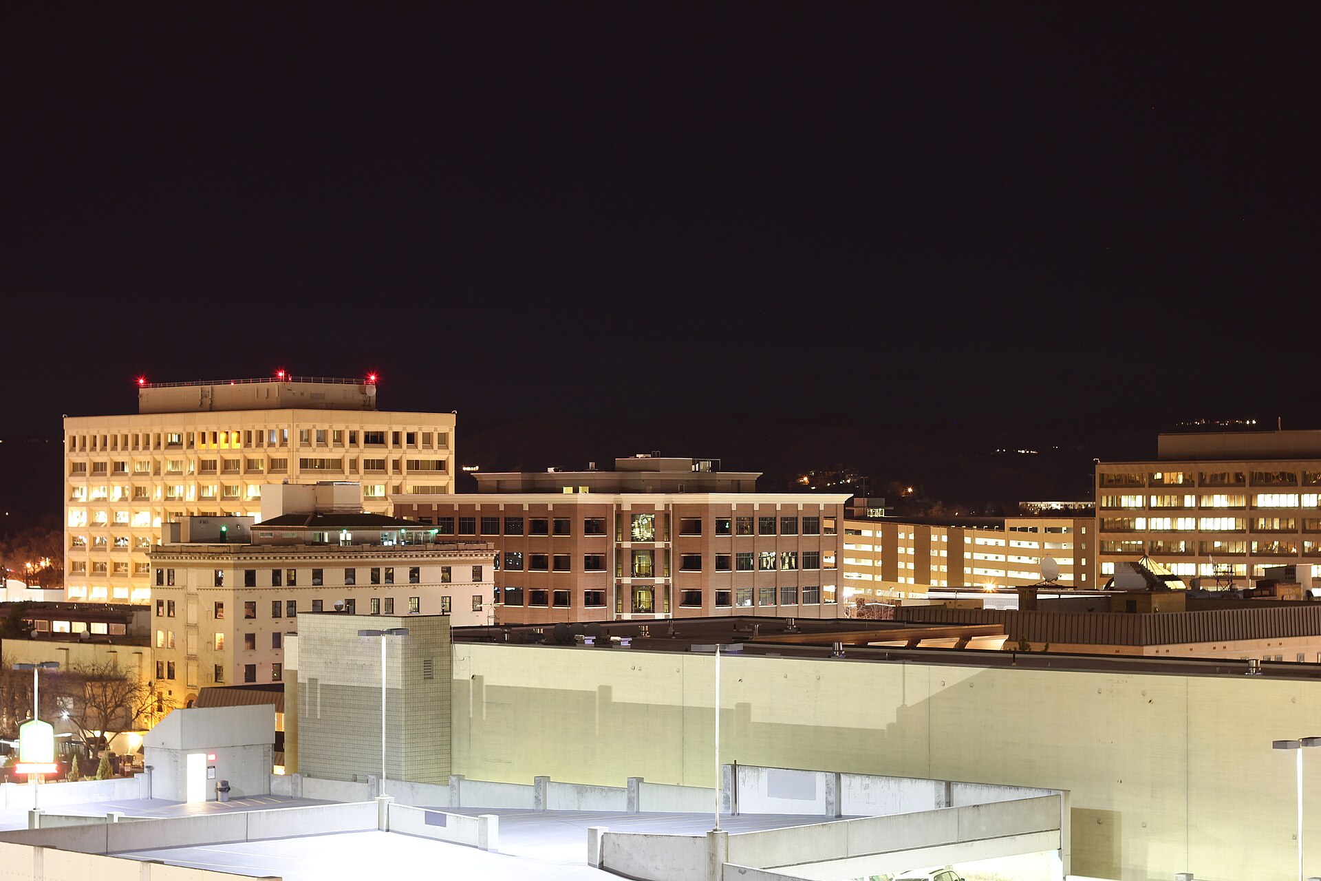
West Boise is the broad, largely residential and commercial section of the city stretching from around Curtis Road west toward the Ada–Canyon county line, bounded by the Boise River and Garden City to the north and by the Boise Bench and Interstate 84 to the south. Most of it grew from irrigated farmland into subdivisions and retail strips between the 1970s and the 2000s.
Where Does West Boise Begin and End?
There is no legal boundary called “West Boise.” It is a working name for the western part of the city rather than a platted neighborhood, and different residents and real-estate listings draw the line in different places. Most descriptions put its eastern edge somewhere near Curtis Road or Five Mile Road, its northern edge along the Boise River and Chinden Boulevard (US 20/26), and its western edge close to the Boise–Meridian city line near Eagle Road.
Within that broad area, the city of
.jpg)
Related reading
what the city is like to actually live in, getting around, planning, itineraries, food and the foothills, museums, landmarks, neighbourhoods and day trips, What Is Southeast Boise Like? A Guide to the District, What Is Bown Crossing, and Where Is It in Boise?.
Access Boise is an independent guide written from published, checkable sources. We have not visited the places described here and we do not publish personal recommendations or invented ‘local favourites’ — where something is singled out as notable, we say who says so. Opening times, fares, closures and prices change at short notice, so treat everything here as a starting point and confirm with the museum, operator or venue directly before building a day around it. We give no advice on visas, insurance, health or safety; use your own government’s official guidance for those.
Featured image: Photo by SniperProgrammer, source, CC BY-SA 3.0
