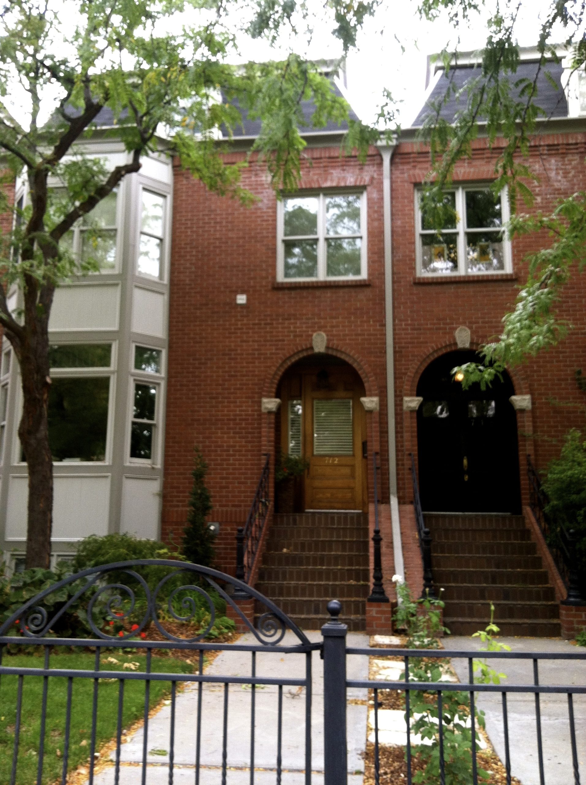
What is Warm Springs Avenue?
Warm Springs Avenue is a street running east from downtown Boise along the base of the foothills, lined with large Victorian-era houses built by the city’s mining and banking elite in the 1890s and early 1900s. A stretch of it is listed on the National Register of Historic Places as a historic district, and it is one of the few Boise streets whose name describes something real and still functioning underneath the pavement: a natural supply of geothermally heated water, piped to homes since the 1890s.
What is actually under the street?
Under Warm Springs Avenue runs a network of pipes carrying naturally hot water drawn from Boise’s geothermal aquifer, a body of groundwater heated by the earth’s crust and tapped through wells sunk along the base of the foothills. This is not a metaphorical “warm springs” — the water genuinely arrives hot, without a boiler, and it has been piped to houses on this street since before most of the city had electricity in every home.
The system began in 1892, when a company called the Artesian Hot and Cold Water Company drilled a well near the foothills and began piping the hot water to homes along what became Warm Springs Avenue, charging residents for the service the way a utility charges for gas or power today. The Idaho State Historical Society and city histories of Boise cite this as one of the earliest municipal-scale geothermal heating systems in the United States, predating the more famous geothermal district heating projects developed in Europe in the 20th century.
How old is Boise’s geothermal heating, compared to other cities?
Boise’s geothermal heating on Warm Springs Avenue dates to 1892, making it one of the oldest continuously used geothermal district heating systems in the country, according to accounts published by the Idaho State Historical Society. Few American cities sit on an accessible geothermal aquifer close enough to the surface to make residential piping practical, which is part of why the system is treated locally as a point of civic distinction rather than a curiosity.
Boise later developed a second, separate geothermal network downtown, built in the 1980s, which heats the Idaho State Capitol and a number of other public and commercial buildings in the city center. That system is unrelated in ownership to the older Warm Springs Avenue supply, though it draws on the same underlying geology. The Capitol’s own geothermal heating is covered in more detail in this guide to the building’s construction and heating.
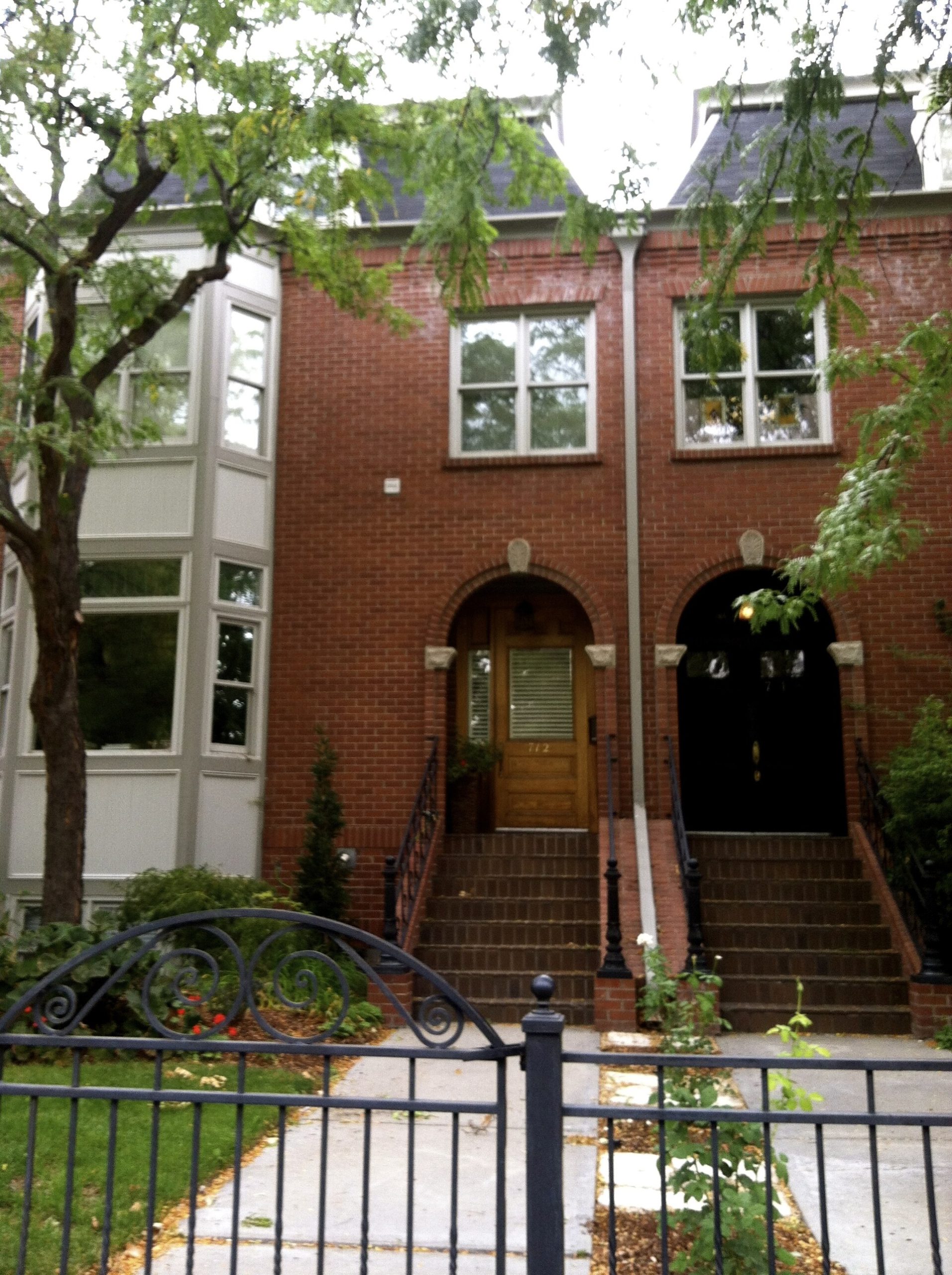

Is the geothermal system on Warm Springs Avenue still working today?
Yes. The original hot-water utility on Warm Springs Avenue has continued in some form for over a century, now operated as a public water district that supplies geothermal heat to homes along the street on a subscription basis, separate from the city’s own downtown geothermal network. Residents on the system pay for hot water service much as they would for any other utility; homes not connected to it rely on conventional gas or electric heating instead. Because this is a working utility rather than a museum exhibit, current details on connection, capacity and cost are best confirmed directly with the water district rather than assumed from historical accounts.
The city of Boise’s own public works department publishes information on its separate downtown geothermal system, including which municipal buildings it serves, and is the correct source to check on that project’s current scope.
What does the historic district itself contain?
The houses along Warm Springs Avenue were built mostly between the 1890s and the 1910s by figures connected to Idaho’s mining wealth, territorial and early state government, and Boise’s commercial banking class. The architecture runs through Queen Anne, Colonial Revival and other late-Victorian and early-20th-century styles, and a number of the individual houses, as well as a stretch of the avenue as a whole, are separately documented on the National Register of Historic Places.
These are private residences, not house museums, and the district functions today as a residential street rather than a visitor attraction with posted hours. What is checkable is the pattern: a concentration of architecturally significant, individually distinct homes from a single boom period, unusually intact for a fast-growing Western city, sitting above the same water source that heats them.
Where does Warm Springs Avenue sit in the city?
Warm Springs Avenue runs east from the edge of downtown Boise, tracking the base of the foothills toward the Boise River and beyond, and it borders or overlaps with parts of the city’s East End. Readers oriented toward the districts around it may find it useful to read about what is the East End of Boise, and where is it, and about what counts as downtown Boise and where it begins and ends, since Warm Springs Avenue sits along the seam between the two.
The street is one of several Boise thoroughfares whose current shape reflects an older layer of the city’s history — its rail and mining-era money, its early utilities, its foothill geography — rather than recent planning. Readers interested in that broader pattern may want the overview at Access Boise’s neighbourhoods archive or the general orientation piece at Living in Boise.
Why does this matter beyond the history?
Warm Springs Avenue is a working demonstration that Boise’s geology is not incidental to the city — it has been engineered into daily life here for well over a century, first as a private hot-water utility for a wealthy residential street, later as a public heating system for part of downtown. That pattern, of natural features quietly built into civic infrastructure, recurs elsewhere in the city; Access Boise’s guide to visiting the Idaho State Capitol covers how the same geothermal principle heats a public building, and the wider landmarks and sights archive covers other structures shaped by Boise’s specific site and history rather than by generic city planning.
For visitors, the practical takeaway is that Warm Springs Avenue rewards walking or driving through as an architectural district rather than as a destination with an entrance — there is no ticketed site here. For residents, the more durable fact is that the street sits on a genuine utility resource that has outlasted several generations of the city’s growth, a detail worth knowing regardless of whether a given house happens to be connected to it. Readers planning a broader look at how Boise’s districts and infrastructure fit together can start from Access Boise’s main guide to the city’s museums, landmarks and neighbourhoods or the practical orientation at Boise Practical.
Access Boise is an independent guide written from published, checkable sources. We have not visited the places described here and we do not publish personal recommendations or invented ‘local favourites’ — where something is singled out as notable, we say who says so. Opening times, fares, closures and prices change at short notice, so treat everything here as a starting point and confirm with the museum, operator or venue directly before building a day around it. We give no advice on visas, insurance, health or safety; use your own government’s official guidance for those.
Featured image: Photo by Carl Burnett, source, BY-SA